Camino de Santiago Portugués. Etapa 11

MTB
Ref..: 19284
Published: 30/08/2014
Performed: 11/05/2012
Distance in Km: 56.8
Climb in m: 792
IBP: 45 BYC
 Not from STRAVA
Near ...
Albarin (Atios), Ameiro Longo (Sanguińeda), Atios (Santa Eulalia), Campo De Eiro (Pereiras), Cela (San Pedro), Covelo, O (Atios)
Albarin (Atios), Ameiro Longo (Sanguińeda), Atios (Santa Eulalia), Campo De Eiro (Pereiras), Cela (San Pedro), Covelo, O (Atios)
 No activities
This route belongs to a multi-day journey 12 days documented with 12 independent routes
You can download the tracks of this multi-day route from each of the associated stages .| Day or stage | One day stage | Distance | Climb in | IBP |
| Day 1 | 12151 Camino de Santiago Portugués. Etapa 01 | 50 Km | 246 m | 27 |
| Day 2 | 12152 Camino de Santiago Portugués. Etapa 02 | 54 Km | 200 m | 30 |
| Day 3 | 12371 Camino de Santiago Portugués. Etapa 03 | 60 Km | 322 m | 33 |
| Day 4 | 12724 Camino de Santiago Portugués. Etapa 04 | 45 Km | 922 m | 59 |
| Day 5 | 19060 Camino de Santiago Portugués. Etapa 05 | 51 Km | 664 m | 45 |
| Day 6 | 19063 Camino de Santiago Portugués. Etapa 06 | 66 Km | 574 m | 38 |
| Day 7 | 19083 Camino de Santiago Portugués. Etapa 07 | 68 Km | 1565 m | 110 |
| Day 8 | 19084 Camino de Santiago Portugués. Etapa 08 | 40 Km | 508 m | 27 |
| Day 9 | 19113 Camino de Santiago Portugués. Etapa 09 | 48 Km | 650 m | 36 |
| Day 10 | 19114 Camino de Santiago Portugués. Etapa 10 | 46 Km | 805 m | 55 |
| Day 11 | 19284 Camino de Santiago Portugués. Etapa 11 (This) | 57 Km | 792 m | 47 |
| Day 12 | 19559 Camino de Santiago Portugués. Etapa 12 | 41 Km | 676 m | 33 |
| Total 12 days | 626 Km | 7924 m | 45 / día |

Description of the route
Camino de Santiago Portugués. Etapa 11 de O Porrińo a Caldas de Reis
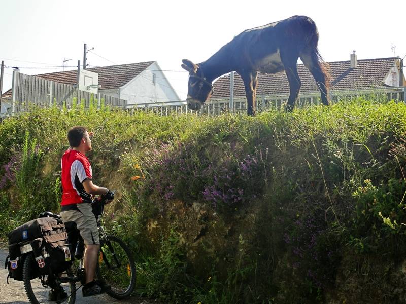
Ya estamos en los últimos tramos del Camino Portugués, y faltan unos 100 km. para Santiago, y eso se nota; de hecho esto es muy parecido al famoso tramo Sarria-Santiago de Compostela del Camino Francés, saturadísimo de peregrinos. A pesar del gran número de peregrinos que había en el albergue hemos dormido bien y, nuevamente, nos despertamos con apenas unos pocos peregrinos que ya van saliendo mientras nosotros desayunamos en el albergue. Iniciamos ruta por las calles de O Porrińo y seguimos por carreteras vecinales entre caserío disperso hasta la aldea de Mos. Continúa el trazado en continua subida hasta la capilla de Santiago de Anta, donde están de romería, desde donde seguimos en descenso adelantando peregrinos caminantes hasta Redondela donde vemos, a las 11:00 de la mańana, a un montón de peregrinos esperando a a puerta del albergue (lo dicho, igualito que el Camino Francés) ży el resto del día? En fin… Nosotros seguimos disfrutando del día avanzando entre caserío disperso y cultivos hasta Cesantes, donde paramos a tomar un hamaiketako en un área de descanso antes de emprender una fuerte subida hacia un alto desde donde se ve en toda su plenitud la ría de Vigo. Una buena bajada por pista nos lleva hasta Arcade y el puente de piedra sobre el río Verdugo, al otro lado nos espera Pontesampaio, en plena vía romana XIX. Continuamos por caminos y carreteras vecinales, en continuo sube y baja, pasando Boullosa, Ganderón de Santa María y Figueirido, hasta entrar en las afueras de Pontevedra. Justo antes de llegar al albergue vemos a un lugareńo preparando pulpo “a feira” ante la puerta del restaurante Casa de Pedra, nos asegura que el pulpo es bueno y, como Josu entiende de ello, le hacemos caso y nos paramos a comer aquí, que seguro que en Pontevedra no encontramos nada igual.
Después del pulpińo y el albarińo seguimos hacia el bonito albergue de Pontevedra y, tras sellar, seguimos para adentrarnos en la ciudad. Visita turística (por supuesto también a la Virxe Peregrina) y seguimos ruta saliendo por el puente de Santiago, sobre el río Lerez, para continuar por una combinación de carreteras vecinales, pistas de tierra y caminos entre cultivos hacia Alba, A Cancela, A Seca, Briallos (donde el albergue de peregrinos está lleno) y Caldas de Reis donde, como nos temíamos, también está lleno el albergue de peregrinos.
Presence of ramps
| Climbs | Distance | % of the total | Speed | Your speed would be | Time | Your time would be | |
| 15 - 30% | 0.23 | 0.41 | 9.1 | ? | 0:01:31 | ? | |
| 10 - 15% | 1.168 | 2.06 | 9.08 | ? | 0:07:43 | ? | |
| 5 - 10% | 4.221 | 7.43 | 9.05 | ? | 0:27:59 | ? | |
| 1 - 5% | 12.713 | 22.38 | 9.03 | ? | 1:24:31 | ? | |
| Total* | 18.333 Km | 32.27 % | 9.04 Km/h | ?
Km/h  |
2:01:44 h | ? h |
|
| Flat | |||||||
| 1 - -1% | 18.719 Km | 32.95 % | 9.03 Km/h | ?
Km/h |
2:04:26 h | ? h |
|
| Descents | |||||||
| -1 - -5% | 14.67 | 25.83 | 9.02 | ? | 1:37:37 | ? | |
| -5 - -10% | 3.958 | 6.97 | 9.07 | ? | 0:26:11 | ? | |
| -10 - -15% | 0.893 | 1.57 | 9.08 | ? | 0:05:54 | ? | |
| -15 - -30% | 0.23 | 0.4 | 9.2 | ? | 0:01:30 | ? | |
| Total* | 19.75 Km | 34.77 % | 9.03 Km/h | ?
Km/h |
2:11:12 h | ? h |
|
How long would it take you?
 |
|
żCuanto consumirá tu E-BIKE?
Entra tu E-IBP (formato n,nn)
| Detected activity type = () |
| Penalization due to track conditions: 26 % ( > 50 % = MTB, < 50 % = RDB) |
|
|
| Correction level applied to the track: 0 |
|
|
| DIFFICULTY OF THE ROUTE |
IBP = 45 BYC |
| According to your statistics Your time in motion would be: ? h |
| Your average speed would be:
? Km/h |
| Total Distance: 56.8 Km |
| Analysed distance: 56.8 Km |
| Linear distance: 49.38 Km |
| Cumulated positive ramps: 792 m |
 list of points info list of points info |
| Cumulated negative ramps: 787 m | |
| Maximum height: 226 m | |
| Minimum height: 2 m | |
| Climbing Ratio: 4.32 % | |
| Descent ratio: 3.98 % | |
| Cumulated postive ramps per Km: 13.94 m | |
| Cumulated negative ramps per Km: 13.86 m | |
| Total time: 6:17:22 h |
| Time in movement: 6:17:22 h |
| According to your statistics Your time in motion would be: ? h
|
| Stopped time: 0:00:00 h |
| Maximum slope filter: ~30 % |
| Minimum separation analysed: ~30 m |
| Number of points: 351 (cad. 161.83 m) |
| Significant waypoints: 336 (cad. 169.05 m / 95.73 %) |
| Changes in direction per Km: 3.79 |
| Changes in direction > 5ş por Km: 3.75 |
| Cumulated straight stretches: 0.298 Km |
| Straight stretches per Km: 5.25 m |
| Penalized slope changes: 12 |
| Penalized slope changes per Km: 0.211 |
| Average speed in total: 9.03 Km/h |
| Average speed while moving: 9.03 Km/h |
| According to your statistics Your average speed would be: ? Km/h
|
| Maximum sustained speed: 9.36 Km/h |


