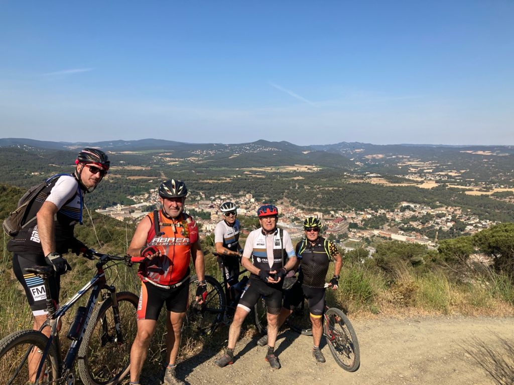
salida la popla de claramut

MTB
MTB
Ref..: 969699
Published: 13/06/2021
Performed: 13/06/2021
Distance in Km: 80.57
Climb in m: 1790
IBP: 131 BYC

trialero
Author: trialero
312 published routes

Add to my Group or Club

 Height in m      Climb in %      Speed in Km/h      Speed < 2 Km/h

Climbs > 5%

Climbs >5% Climbs >10% Climbs >15% Climbs >20% Climbs >25%
 Steep slope of 141 m.   Average slope  Distances  Download as waypoint
1
 Km 5.874  7%  141 m
 Steep slope of 268 m.  Average slope  Distances  Download as waypoint
2
 Km 6.836  6%  268 m
 Steep slope of 213 m.  Average slope  Distances  Download as waypoint
3
 Km 8.033  7%  213 m
 Steep slope of 173 m.  Average slope  Distances  Download as waypoint
4
 Km 9.052  8%  173 m
 Steep slope of 279 m.  Average slope  Distances  Download as waypoint
5
 Km 9.371  9%  279 m
 Steep slope of 104 m.  Average slope  Distances  Download as waypoint
6
 Km 9.751  8%  104 m
 Steep slope of 139 m.  Average slope  Distances  Download as waypoint
7
 Km 10.129  8%  139 m
 Steep slope of 175 m.  Average slope  Distances  Download as waypoint
8
 Km 10.492  9%  175 m
 Steep slope of 100 m.  Average slope  Distances  Download as waypoint
9
 Km 10.836  9%  100 m
 Steep slope of 172 m.  Average slope  Distances  Download as waypoint
10
 Km 11.937  8%  172 m
 Steep slope of 409 m.  Average slope  Distances  Download as waypoint
11
 Km 15.77  7%  36 m
12
 Km 15.806  13%  103 m
13
 Km 15.909  15%  102 m
14
 Km 16.01  14%  168 m
 Steep slope of 136 m.  Average slope  Distances  Download as waypoint
15
 Km 16.827  8%  136 m
 Steep slope of 109 m.  Average slope  Distances  Download as waypoint
16
 Km 17.467  6%  109 m
 Steep slope of 108 m.  Average slope  Distances  Download as waypoint
17
 Km 20.37  7%  108 m
 Steep slope of 104 m.  Average slope  Distances  Download as waypoint
18
 Km 24.69  8%  104 m
 Steep slope of 538 m.  Average slope  Distances  Download as waypoint
19
 Km 25.008  13%  502 m
20
 Km 25.51  12%  36 m
 Steep slope of 732 m.  Average slope  Distances  Download as waypoint
21
 Km 27.853  8%  666 m
22
 Km 28.519  11%  66 m
 Steep slope of 935 m.  Average slope  Distances  Download as waypoint
23
 Km 29.61  7%  561 m
24
 Km 30.171  11%  104 m
25
 Km 30.275  8%  205 m
26
 Km 30.479  11%  65 m
 Steep slope of 169 m.  Average slope  Distances  Download as waypoint
27
 Km 32.253  9%  169 m
 Steep slope of 164 m.  Average slope  Distances  Download as waypoint
28
 Km 33.185  16%  97 m
29
 Km 33.282  8%  67 m
 Steep slope of 213 m.  Average slope  Distances  Download as waypoint
30
 Km 33.492  10%  213 m
 Steep slope of 131 m.  Average slope  Distances  Download as waypoint
31
 Km 34.355  12%  32 m
32
 Km 34.387  19%  99 m
 Steep slope of 34 m.  Average slope  Distances  Download as waypoint
33
 Km 34.52  12%  34 m
 Steep slope of 134 m.  Average slope  Distances  Download as waypoint
34
 Km 42.963  5%  134 m
 Steep slope of 1989 m.  Average slope  Distances  Download as waypoint
35
 Km 43.403  7%  70 m
36
 Km 43.473  12%  257 m
37
 Km 43.73  17%  132 m
38
 Km 43.862  13%  166 m
39
 Km 44.028  18%  288 m
40
 Km 44.315  14%  214 m
41
 Km 44.53  8%  364 m
42
 Km 44.894  13%  164 m
43
 Km 45.058  6%  334 m
 Steep slope of 276 m.  Average slope  Distances  Download as waypoint
44
 Km 45.739  8%  66 m
45
 Km 45.805  10%  177 m
46
 Km 45.982  11%  33 m
 Steep slope of 135 m.  Average slope  Distances  Download as waypoint
47
 Km 46.34  9%  135 m
 Steep slope of 101 m.  Average slope  Distances  Download as waypoint
48
 Km 46.902  7%  101 m
 Steep slope of 106 m.  Average slope  Distances  Download as waypoint
49
 Km 47.134  6%  106 m
 Steep slope of 143 m.  Average slope  Distances  Download as waypoint
50
 Km 47.375  6%  143 m
 Steep slope of 281 m.  Average slope  Distances  Download as waypoint
51
 Km 48.111  5%  281 m
 Steep slope of 396 m.  Average slope  Distances  Download as waypoint
52
 Km 48.707  9%  70 m
53
 Km 48.778  12%  195 m
54
 Km 48.973  8%  131 m
 Steep slope of 205 m.  Average slope  Distances  Download as waypoint
55
 Km 53.211  7%  205 m
 Steep slope of 337 m.  Average slope  Distances  Download as waypoint
56
 Km 58.41  7%  206 m
57
 Km 58.617  11%  99 m
58
 Km 58.716  8%  32 m
 Steep slope of 165 m.  Average slope  Distances  Download as waypoint
59
 Km 65.003  7%  165 m
 Steep slope of 186 m.  Average slope  Distances  Download as waypoint
60
 Km 65.829  5%  186 m
 Steep slope of 171 m.  Average slope  Distances  Download as waypoint
61
 Km 66.191  7%  171 m
 Steep slope of 131 m.  Average slope  Distances  Download as waypoint
62
 Km 66.529  7%  131 m
 Steep slope of 212 m.  Average slope  Distances  Download as waypoint
63
 Km 67.216  7%  212 m
 Steep slope of 112 m.  Average slope  Distances  Download as waypoint
64
 Km 70.243  7%  112 m
 Steep slope of 108 m.  Average slope  Distances  Download as waypoint
65
 Km 72.896  6%  108 m
 Steep slope of 112 m.  Average slope  Distances  Download as waypoint
66
 Km 74.191  7%  112 m
 Steep slope of 342 m.  Average slope  Distances  Download as waypoint
67
 Km 77.348  8%  342 m
 Steep slope of 119 m.  Average slope  Distances  Download as waypoint
68
 Km 80.276  8%  119 m


Description of the route


Presence of ramps


 Climbs  Distance  % of the total  Speed  Your speed would be  Time  Your time would be
   15 - 30%  0.981  1.22  4.71  ?  0:12:29  ?
   10 - 15%  3.469  4.31  7.44  ?  0:27:58  ?
   5 - 10%  8.625  10.7  10.01  ?  0:51:41  ?
   1 - 5%  21.561  26.76  14.38  ?  1:29:59  ?
   Total*  34.637 Km  42.99 %  11.41 Km/h  ? Km/h    3:02:07 h  ? h  
 Flat
   1 - -1%  11.375 Km  14.12 %  17.15 Km/h  ? Km/h    0:39:48 h  ? h  
 Descents
   -1 - -5%  20.984  26.04  20.31  ?  1:02:00  ?
   -5 - -10%  9.648  11.97  21.31  ?  0:27:10  ?
   -10 - -15%  3.137  3.89  18.6  ?  0:10:07  ?
   -15 - -30%  0.793  0.98  11.9  ?  0:04:00  ?
   Total*  34.561 Km  42.89 %  20.08 Km/h  ? Km/h    1:43:17 h  ? h  
* The total has not necessarily coincide with the sum of the partials after correction of errors

How long would it take you?

How long would it take you to cover this route?
There are routes without a valid time information, but with your average stats you can assess the possible duration

trialero to cover this route you've need a time of:   5:25:12 h 
If you sign in and have a minimum of two tracks of this same modality, you can know your time for this route, calculated from your stats..


¿Cuanto consumirá tu E-BIKE?

Entra tu E-IBP (formato n,nn)

E-IBP :   X 131 = 


 Detected activity type =  ()
 Penalization due to track conditions: 63 %   ( > 50 % = MTB, < 50 % = RDB)
 Reliability of the track: B   (1790/67/0/-/-/67)
 Correction level applied to the track: 0
DIFFICULTY OF THE ROUTE
IBP = 131 BYC
According to your statistics
 Your time in motion would be: ? h
Your average speed would be: ? Km/h
 

 Total Distance: 80.57 Km
 Analysed distance: 80.57 Km
 Linear distance: 0.01 Km

 Cumulated positive ramps: 1789.6 m  list of points info
 Cumulated negative ramps: 1788.3 m
 Maximum height: 677.6 m
 Minimum height: 95.8 m
 Climbing Ratio: 5.17 %
 Descent ratio: 5.17 %
 Cumulated postive ramps per Km: 22.21 m
 Cumulated negative ramps per Km: 22.2 m

 Total time: 6:57:53 h
 Time in movement: 5:25:12 h
 According to your statistics
 Your time in motion would be: ? h  
 Stopped time: 1:32:41 h
 Maximum slope filter: ~30 %
 Minimum separation analysed: ~30 m
 Number of points: 6393   (cad. 12.6 m)
 Significant waypoints: 2254   (cad. 35.75 m / 35.26 %)

 Changes in direction per Km: 12.39
 Changes in direction > 5º por Km: 8.84
 Cumulated straight stretches: 14.156 Km
 Straight stretches per Km: 175.7 m
 Penalized slope changes: 17
 Penalized slope changes per Km: 0.211

 Average speed in total: 11.57 Km/h
 Average speed while moving: 14.87 Km/h
 According to your statistics
 Your average speed would be: ? Km/h  
 Maximum sustained speed: 48.78 Km/h


Comments

You can be the first one in commenting this route

 
My comments
:
Add comment  (Registered users)
 
Notify me answers to my comment  Do not notify answers to my comment


Share this route with a friend

Your friend will receive a message with a link to this page:
will see your email and your user name if you do it as registered user.


Write here your name (optional)

E-mail address of your friend(s). You can include various addresses separated by commas

Text or comment (optional) maximum 255 characters long, 255 Available characters

As a non registered users you need to fill-in the captcha text.
  Change image
Type the image characters.
 
 Share with a friend


Visited history

Delete history

Marked routes for review later or compare

My favorites


  Notify anomaly in this route Share in Facebook