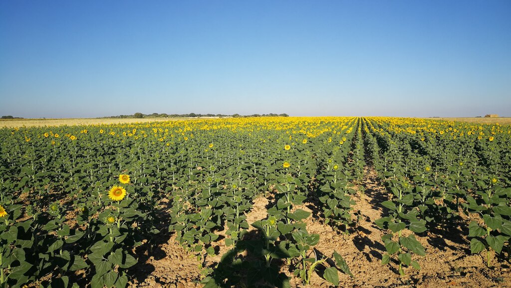
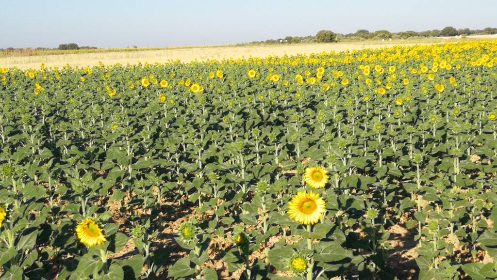
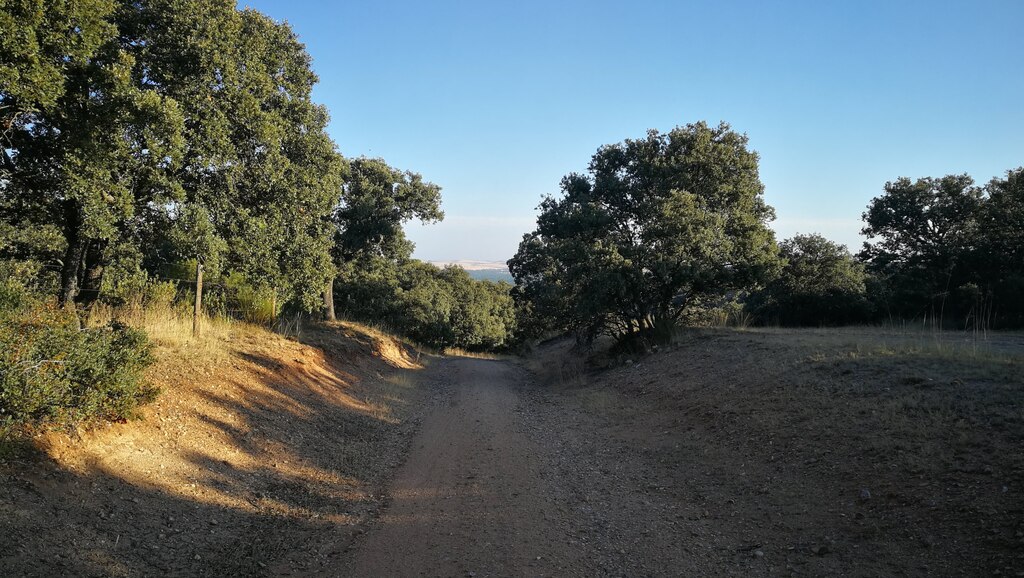
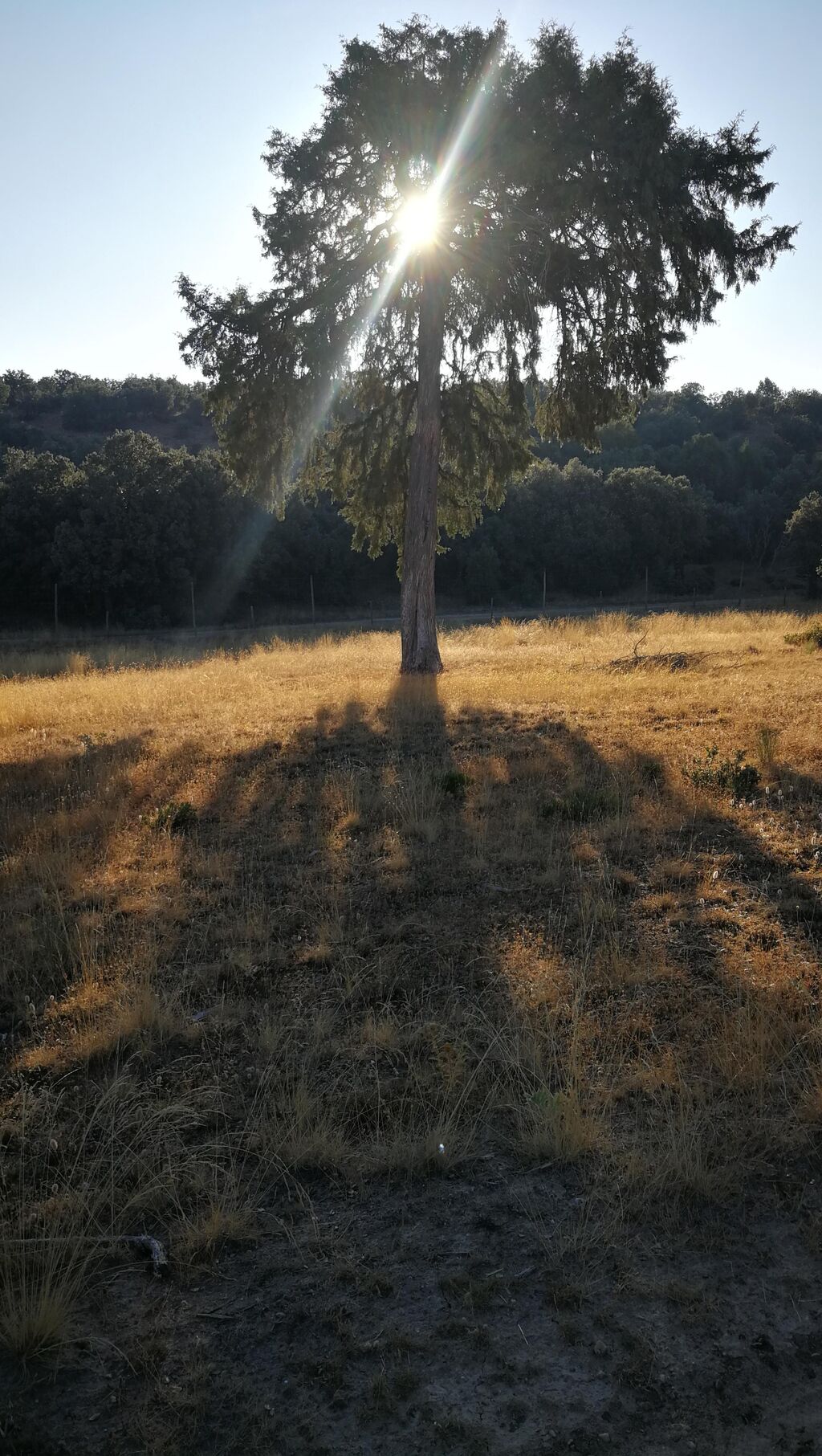
MTB Urb. El Monte de Puenteviejo, Sanchidrian, Moñivas, Muñopedro, Labajos y Coto de Puenteviejo

MTB
MTB
Ref..: 891933
Published: 04/08/2020
Performed: 02/08/2020
Distance in Km: 41.23
Climb in m: 330
IBP: 25 BYC

PJEO
Author: PJEO
719 published routes

Add to my Group or Club

 Height in m      Climb in %      Speed in Km/h      Speed < 2 Km/h


Description of the route

Ruta desde la urbanizaciones de Puenteviejo (Coto, Pinar, el Monte, La Fontanilla y Prado Encinas) hacia Sanchidrián, cruce del río Voltoya ruinas del molino de Moñivas, ascenso a los altos Peromingo y Muñopedro, para continuar por pistas para cruzar el Arroyo de la Magdalena y subir hacia Labajos, cruzar el pueblo para bajar hacia la vega del río Voltoya y regresar por el camino el caserío de Gordillas hacia las urbanizaciones, la primera el Coto de Puenteviejo.


Amanece próximo a Sanchidrián


Carretera Sanchidrián a Moñivas


Amanece próximo a Sanchidrián


Amanece próximo a Sanchidrián


Sabina Albar, Camino de Moñivas a Muñopedro


Amanece próximo a Sanchidrián


Carretera Sanchidrián a Moñivas


Campos de girasoles próximos al alto de Peromingo


Vistas desde los altos de Sanchidrián


Campos de girasoles próximos al alto de Peromingo


Campos de girasoles próximos al alto de Peromingo


Camino de Moñivas a Muñopedro


Sabina Albar, Camino de Moñivas a Muñopedro


Camino de Moñivas a Muñopedro


Camino de Moñivas a Muñopedro


Huerto solar en Muñopedro


ruinas Molino de Moñivas


ruinas Molino de Moñivas


Presence of ramps


 Climbs  Distance  % of the total  Speed  Your speed would be  Time  Your time would be
   15 - 30%  0  0  0  ?  0:00:00  ?
   10 - 15%  0.008  0.02  0  ?  0:00:00  ?
   5 - 10%  1.952  4.73  6.9  ?  0:16:58  ?
   1 - 5%  8.839  21.44  9.31  ?  0:56:58  ?
   Total*  10.798 Km  26.19 %  8.76 Km/h  ? Km/h    1:13:56 h  ? h  
 Flat
   1 - -1%  19.759 Km  47.92 %  13.46 Km/h  ? Km/h    1:28:04 h  ? h  
 Descents
   -1 - -5%  8.382  20.33  17.36  ?  0:28:58  ?
   -5 - -10%  2.078  5.04  13.31  ?  0:09:22  ?
   -10 - -15%  0.235  0.57  31.27  ?  0:00:27  ?
   -15 - -30%  0  0  0  ?  0:00:00  ?
   Total*  10.695 Km  25.94 %  16.55 Km/h  ? Km/h    0:38:47 h  ? h  
* The total has not necessarily coincide with the sum of the partials after correction of errors

How long would it take you?

How long would it take you to cover this route?
There are routes without a valid time information, but with your average stats you can assess the possible duration

PJEO to cover this route you've need a time of:   3:20:47 h 
If you sign in and have a minimum of two tracks of this same modality, you can know your time for this route, calculated from your stats..


¿Cuanto consumirá tu E-BIKE?

Entra tu E-IBP (formato n,nn)

E-IBP :   X 25 = 
Calcular consumo


 Detected activity type =  ()
 Penalization due to track conditions: 38 %   ( > 50 % = MTB, < 50 % = RDB)
 Reliability of the track: D   (469/36/1/2/-/67)
 Correction level applied to the track: 5        See analyis without corrections
DIFFICULTY OF THE ROUTE
IBP = 25 BYC
According to your statistics
 Your time in motion would be: ? h
Your average speed would be: ? Km/h
 

 Total Distance: 41.23 Km
 Analysed distance: 41.23 Km
 Linear distance: 0.12 Km

 Cumulated positive ramps: 329.78 m  list of points info
 Cumulated negative ramps: 338.68 m
 Maximum height: 1065.03 m
 Minimum height: 901.41 m
 Climbing Ratio: 3.05 %
 Descent ratio: 3.17 %
 Cumulated postive ramps per Km: 8 m
 Cumulated negative ramps per Km: 8.21 m

 Total time: 4:12:25 h
 Time in movement: 3:20:47 h
 According to your statistics
 Your time in motion would be: ? h  
 Stopped time: 0:51:38 h
 Maximum slope filter: ~30 %
 Minimum separation analysed: ~30 m
 Number of points: 2864   (cad. 14.4 m)
 Significant waypoints: 1107   (cad. 37.28 m / 38.65 %)

 Changes in direction per Km: 10.72
 Changes in direction > 5º por Km: 4.9
 Cumulated straight stretches: 14.029 Km
 Straight stretches per Km: 340.26 m
 Penalized slope changes: 5
 Penalized slope changes per Km: 0.121

 Average speed in total: 9.8 Km/h
 Average speed while moving: 12.32 Km/h
 According to your statistics
 Your average speed would be: ? Km/h  
 Maximum sustained speed: 45.94 Km/h


Comments

You can be the first one in commenting this route

 
My comments
:
Add comment  (Registered users)
 
Notify me answers to my comment  Do not notify answers to my comment


Share this route with a friend

Your friend will receive a message with a link to this page:
will see your email and your user name if you do it as registered user.


Write here your name (optional)

E-mail address of your friend(s). You can include various addresses separated by commas

Text or comment (optional) maximum 255 characters long, 255 Available characters

As a non registered users you need to fill-in the captcha text.
  Change image
Type the image characters.
 
 Share with a friend


Visited history

Delete history

Marked routes for review later or compare

My favorites


  Notify anomaly in this route Share in Facebook