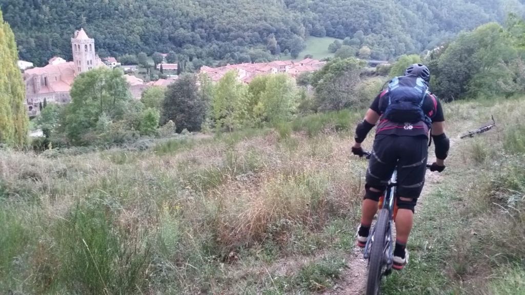
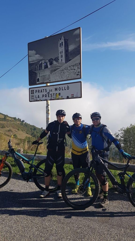
Vallespirada 19

MTB
MTB
Ref..: 839368
Published: 06/10/2019
Performed: 05/10/2019
Distance in Km: 58.97
Climb in m: 2419
IBP: 163 BYC

silvesterbike
399 published routes

Add to my Group or Club

 Height in m      Climb in %      Speed in Km/h      Speed < 2 Km/h

Climbs > 5%

Climbs >5% Climbs >10% Climbs >15% Climbs >20% Climbs >25%
 Steep slope of 334 m.   Average slope  Distances  Download as waypoint
1
 Km 6.32  9%  128 m
2
 Km 6.448  7%  206 m
 Steep slope of 137 m.  Average slope  Distances  Download as waypoint
3
 Km 6.965  23%  137 m
 Steep slope of 195 m.  Average slope  Distances  Download as waypoint
4
 Km 7.138  11%  195 m
 Steep slope of 181 m.  Average slope  Distances  Download as waypoint
5
 Km 7.547  16%  181 m
 Steep slope of 309 m.  Average slope  Distances  Download as waypoint
6
 Km 7.929  8%  99 m
7
 Km 8.028  10%  141 m
8
 Km 8.169  9%  69 m
 Steep slope of 124 m.  Average slope  Distances  Download as waypoint
9
 Km 9.027  6%  124 m
 Steep slope of 1821 m.  Average slope  Distances  Download as waypoint
10
 Km 9.418  8%  391 m
11
 Km 9.809  9%  129 m
12
 Km 9.938  7%  1301 m
 Steep slope of 878 m.  Average slope  Distances  Download as waypoint
13
 Km 11.366  7%  878 m
 Steep slope of 1392 m.  Average slope  Distances  Download as waypoint
14
 Km 12.384  7%  1392 m
 Steep slope of 115 m.  Average slope  Distances  Download as waypoint
15
 Km 13.885  6%  115 m
 Steep slope of 1552 m.  Average slope  Distances  Download as waypoint
16
 Km 14.145  7%  1552 m
 Steep slope of 131 m.  Average slope  Distances  Download as waypoint
17
 Km 15.816  9%  131 m
 Steep slope of 539 m.  Average slope  Distances  Download as waypoint
18
 Km 17.174  11%  101 m
19
 Km 17.275  17%  30 m
20
 Km 17.304  8%  143 m
21
 Km 17.447  11%  154 m
22
 Km 17.601  10%  111 m
 Steep slope of 428 m.  Average slope  Distances  Download as waypoint
23
 Km 18.088  18%  118 m
24
 Km 18.206  15%  114 m
25
 Km 18.32  11%  196 m
 Steep slope of 147 m.  Average slope  Distances  Download as waypoint
26
 Km 18.629  5%  147 m
 Steep slope of 105 m.  Average slope  Distances  Download as waypoint
27
 Km 18.994  11%  105 m
 Steep slope of 131 m.  Average slope  Distances  Download as waypoint
28
 Km 19.327  10%  131 m
 Steep slope of 384 m.  Average slope  Distances  Download as waypoint
29
 Km 21.06  6%  203 m
30
 Km 21.263  19%  181 m
 Steep slope of 177 m.  Average slope  Distances  Download as waypoint
31
 Km 21.475  11%  30 m
32
 Km 21.505  5%  36 m
33
 Km 21.541  6%  111 m
 Steep slope of 303 m.  Average slope  Distances  Download as waypoint
34
 Km 21.844  8%  303 m
 Steep slope of 101 m.  Average slope  Distances  Download as waypoint
35
 Km 22.266  8%  101 m
 Steep slope of 201 m.  Average slope  Distances  Download as waypoint
36
 Km 22.633  8%  64 m
37
 Km 22.697  13%  137 m
 Steep slope of 295 m.  Average slope  Distances  Download as waypoint
38
 Km 26.623  6%  295 m
 Steep slope of 947 m.  Average slope  Distances  Download as waypoint
39
 Km 27.724  9%  272 m
40
 Km 27.996  11%  110 m
41
 Km 28.106  6%  565 m
 Steep slope of 3807 m.  Average slope  Distances  Download as waypoint
42
 Km 28.795  8%  1885 m
43
 Km 30.679  10%  270 m
44
 Km 30.949  10%  194 m
45
 Km 31.144  11%  262 m
46
 Km 31.405  10%  152 m
47
 Km 31.558  11%  149 m
48
 Km 31.707  10%  140 m
49
 Km 31.848  11%  165 m
50
 Km 32.012  7%  590 m
 Steep slope of 1084 m.  Average slope  Distances  Download as waypoint
51
 Km 32.707  8%  1084 m
 Steep slope of 207 m.  Average slope  Distances  Download as waypoint
52
 Km 33.946  7%  207 m
 Steep slope of 444 m.  Average slope  Distances  Download as waypoint
53
 Km 35.89  7%  444 m
 Steep slope of 225 m.  Average slope  Distances  Download as waypoint
54
 Km 36.476  6%  225 m
 Steep slope of 370 m.  Average slope  Distances  Download as waypoint
55
 Km 36.816  5%  370 m
 Steep slope of 204 m.  Average slope  Distances  Download as waypoint
56
 Km 37.536  5%  204 m
 Steep slope of 789 m.  Average slope  Distances  Download as waypoint
57
 Km 37.858  7%  789 m
 Steep slope of 397 m.  Average slope  Distances  Download as waypoint
58
 Km 38.759  7%  397 m
 Steep slope of 995 m.  Average slope  Distances  Download as waypoint
59
 Km 44.75  7%  718 m
60
 Km 45.468  11%  126 m
61
 Km 45.594  10%  151 m
 Steep slope of 1256 m.  Average slope  Distances  Download as waypoint
62
 Km 45.881  8%  300 m
63
 Km 46.181  7%  102 m
64
 Km 46.283  13%  41 m
65
 Km 46.325  9%  813 m
 Steep slope of 714 m.  Average slope  Distances  Download as waypoint
66
 Km 47.243  8%  590 m
67
 Km 47.833  15%  124 m
 Steep slope of 762 m.  Average slope  Distances  Download as waypoint
68
 Km 48.285  7%  170 m
69
 Km 48.455  11%  116 m
70
 Km 48.57  7%  476 m
 Steep slope of 107 m.  Average slope  Distances  Download as waypoint
71
 Km 50.577  6%  107 m
 Steep slope of 238 m.  Average slope  Distances  Download as waypoint
72
 Km 53.916  12%  159 m
73
 Km 54.075  8%  79 m
 Steep slope of 107 m.  Average slope  Distances  Download as waypoint
74
 Km 54.273  5%  107 m
 Steep slope of 249 m.  Average slope  Distances  Download as waypoint
75
 Km 54.5  6%  154 m
76
 Km 54.654  11%  95 m
 Steep slope of 96 m.  Average slope  Distances  Download as waypoint
77
 Km 55.068  7%  96 m
 Steep slope of 311 m.  Average slope  Distances  Download as waypoint
78
 Km 55.896  5%  45 m
79
 Km 55.942  6%  266 m
 Steep slope of 126 m.  Average slope  Distances  Download as waypoint
80
 Km 58.042  17%  126 m


Description of the route


Presence of ramps


 Climbs  Distance  % of the total  Speed  Your speed would be  Time  Your time would be
   15 - 30%  1.395  2.37  9.36  ?  0:08:57  ?
   10 - 15%  4.205  7.13  8.35  ?  0:30:12  ?
   5 - 10%  19.212  32.58  8.82  ?  2:10:45  ?
   1 - 5%  7.513  12.74  10  ?  0:45:04  ?
   Total*  32.326 Km  54.82 %  9.02 Km/h  ? Km/h    3:34:58 h  ? h  
 Flat
   1 - -1%  2.577 Km  4.37 %  10.18 Km/h  ? Km/h    0:15:11 h  ? h  
 Descents
   -1 - -5%  4.959  8.41  11.61  ?  0:25:37  ?
   -5 - -10%  5.24  8.89  13.48  ?  0:23:19  ?
   -10 - -15%  4.449  7.54  10.98  ?  0:24:18  ?
   -15 - -30%  9.487  16.09  9.82  ?  0:57:59  ?
   Total*  24.134 Km  40.93 %  11.04 Km/h  ? Km/h    2:11:13 h  ? h  
* The total has not necessarily coincide with the sum of the partials after correction of errors

How long would it take you?

How long would it take you to cover this route?
There are routes without a valid time information, but with your average stats you can assess the possible duration

silvesterbike to cover this route you've need a time of:   6:01:22 h 
If you sign in and have a minimum of two tracks of this same modality, you can know your time for this route, calculated from your stats..


¿Cuanto consumirá tu E-BIKE?

Entra tu E-IBP (formato n,nn)

E-IBP :   X 163 = 


 Detected activity type =  ()
 Penalization due to track conditions: 71 %   ( > 50 % = MTB, < 50 % = RDB)
 Reliability of the track: A   (2440/78/0/-/-/78)
 Correction level applied to the track: 0
DIFFICULTY OF THE ROUTE
IBP = 163 BYC
According to your statistics
 Your time in motion would be: ? h
Your average speed would be: ? Km/h
 

 Total Distance: 58.97 Km
 Analysed distance: 58.97 Km
 Linear distance: 4.56 Km

 Cumulated positive ramps: 2419.25 m  list of points info
 Cumulated negative ramps: 3201.48 m
 Maximum height: 1791.6 m
 Minimum height: 738.2 m
 Climbing Ratio: 7.48 %
 Descent ratio: 13.27 %
 Cumulated postive ramps per Km: 41.03 m
 Cumulated negative ramps per Km: 54.29 m

 Total time: 8:56:21 h
 Time in movement: 6:01:22 h
 According to your statistics
 Your time in motion would be: ? h  
 Stopped time: 2:54:59 h
 Maximum slope filter: ~30 %
 Minimum separation analysed: ~30 m
 Number of points: 3649   (cad. 16.16 m)
 Significant waypoints: 1554   (cad. 38.02 m / 42.59 %)

 Changes in direction per Km: 11.8
 Changes in direction > 5º por Km: 9.39
 Cumulated straight stretches: 6.818 Km
 Straight stretches per Km: 115.62 m
 Penalized slope changes: 20
 Penalized slope changes per Km: 0.339

 Average speed in total: 6.6 Km/h
 Average speed while moving: 9.79 Km/h
 According to your statistics
 Your average speed would be: ? Km/h  
 Maximum sustained speed: 48.28 Km/h


Comments

You can be the first one in commenting this route

 
My comments
:
Add comment  (Registered users)
 
Notify me answers to my comment  Do not notify answers to my comment


Share this route with a friend

Your friend will receive a message with a link to this page:
will see your email and your user name if you do it as registered user.


Write here your name (optional)

E-mail address of your friend(s). You can include various addresses separated by commas

Text or comment (optional) maximum 255 characters long, 255 Available characters

As a non registered users you need to fill-in the captcha text.
  Change image
Type the image characters.
 
 Share with a friend


Visited history

Delete history

Marked routes for review later or compare

My favorites


  Notify anomaly in this route Share in Facebook