Excursiµn de maþana

Hiking
Ref..: 820453
Published: 10/09/2019
Performed: 07/09/2019
Distance in Km: 11.27
Climb in m: 1149
IBP: 131 HKG
 View on STRAVA
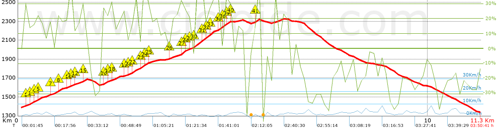


 list of points info

