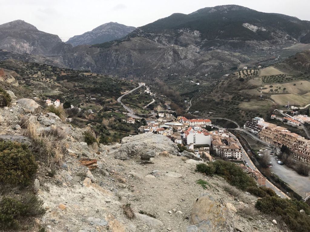
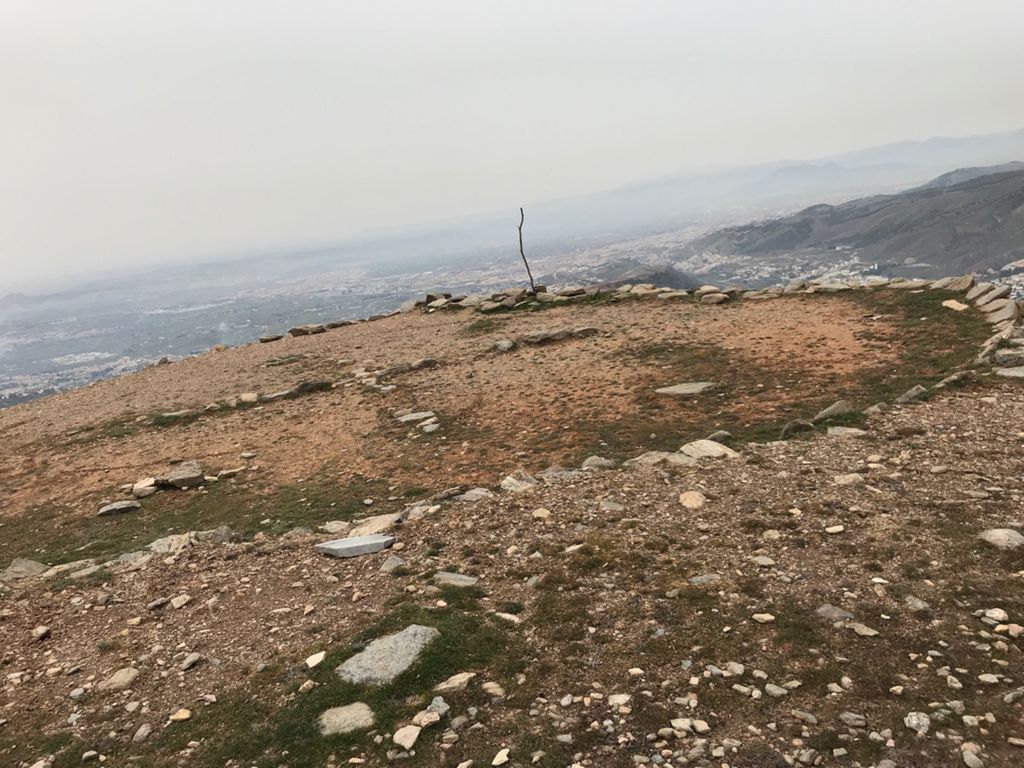
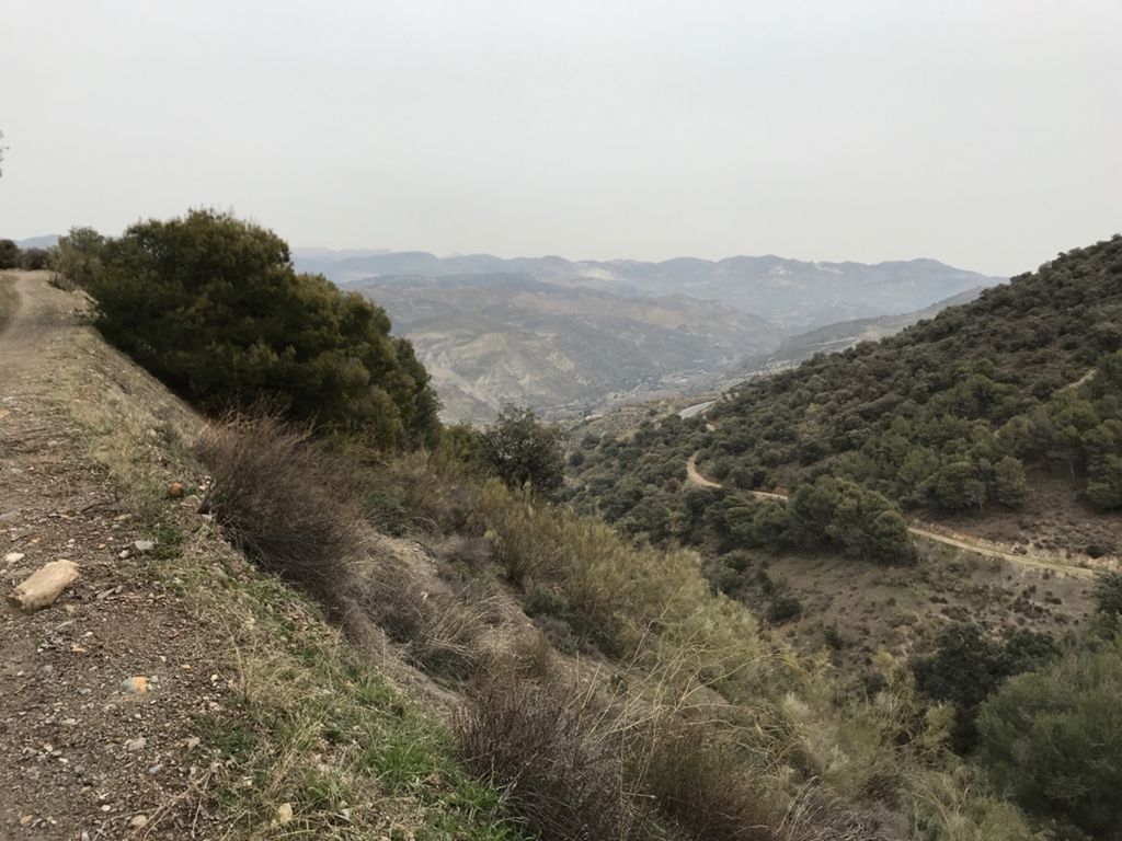
Integral de los Neveros - IBP 145 - 31.01.18 - Caminos, vericuetos y rampas imposibles

MTB
MTB
Ref..: 755033
Published: 27/06/2019
Performed: 31/01/2018
Distance in Km: 27.66
Climb in m: 1417
IBP: 144 BYC

Near ...
Barrio De La Vega, Barrio De Monachil, Cajar, Cenes De La Vega, Huetor Vega, Monachil
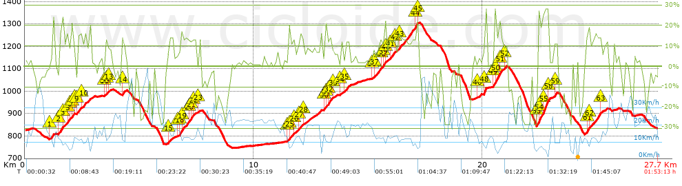
fernan2g
Author: fernan2g
1943 published routes

Add to my Group or Club

 Height in m      Climb in %      Speed in Km/h      Speed < 2 Km/h

Climbs > 5%

Climbs >5% Climbs >10% Climbs >15% Climbs >20% Climbs >25%
 Steep slope of 143 m.   Average slope  Distances  Download as waypoint
1
 Km 1.094  6%  143 m
 Steep slope of 689 m.  Average slope  Distances  Download as waypoint
2
 Km 1.492  16%  187 m
3
 Km 1.679  10%  144 m
4
 Km 1.823  16%  34 m
5
 Km 1.857  22%  63 m
6
 Km 1.921  5%  108 m
7
 Km 2.028  18%  113 m
8
 Km 2.141  10%  40 m
 Steep slope of 556 m.  Average slope  Distances  Download as waypoint
9
 Km 2.296  13%  190 m
10
 Km 2.486  11%  366 m
 Steep slope of 280 m.  Average slope  Distances  Download as waypoint
11
 Km 3.509  8%  39 m
12
 Km 3.547  13%  120 m
13
 Km 3.667  8%  121 m
 Steep slope of 177 m.  Average slope  Distances  Download as waypoint
14
 Km 4.238  14%  177 m
 Steep slope of 271 m.  Average slope  Distances  Download as waypoint
15
 Km 6.236  10%  271 m
 Steep slope of 847 m.  Average slope  Distances  Download as waypoint
16
 Km 6.642  6%  113 m
17
 Km 6.756  13%  35 m
18
 Km 6.791  16%  114 m
19
 Km 6.904  13%  307 m
20
 Km 7.212  15%  101 m
21
 Km 7.313  15%  72 m
22
 Km 7.385  12%  105 m
 Steep slope of 104 m.  Average slope  Distances  Download as waypoint
23
 Km 7.594  12%  104 m
 Steep slope of 1413 m.  Average slope  Distances  Download as waypoint
24
 Km 11.483  6%  38 m
25
 Km 11.52  13%  214 m
26
 Km 11.734  9%  252 m
27
 Km 11.986  13%  141 m
28
 Km 12.127  8%  768 m
 Steep slope of 567 m.  Average slope  Distances  Download as waypoint
29
 Km 13.072  7%  31 m
30
 Km 13.104  11%  37 m
31
 Km 13.141  17%  114 m
32
 Km 13.254  15%  178 m
33
 Km 13.433  7%  207 m
 Steep slope of 371 m.  Average slope  Distances  Download as waypoint
34
 Km 13.795  8%  201 m
35
 Km 13.995  13%  170 m
 Steep slope of 1957 m.  Average slope  Distances  Download as waypoint
36
 Km 15.202  8%  73 m
37
 Km 15.275  12%  267 m
38
 Km 15.542  11%  101 m
39
 Km 15.643  16%  139 m
40
 Km 15.782  9%  136 m
41
 Km 15.918  13%  227 m
42
 Km 16.145  7%  187 m
43
 Km 16.331  14%  724 m
44
 Km 17.056  21%  69 m
45
 Km 17.125  22%  34 m
 Steep slope of 106 m.  Average slope  Distances  Download as waypoint
46
 Km 19.808  9%  106 m
 Steep slope of 143 m.  Average slope  Distances  Download as waypoint
47
 Km 20.019  7%  36 m
48
 Km 20.056  26%  107 m
 Steep slope of 581 m.  Average slope  Distances  Download as waypoint
49
 Km 20.492  16%  35 m
50
 Km 20.527  21%  213 m
51
 Km 20.74  14%  223 m
52
 Km 20.963  11%  110 m
 Steep slope of 574 m.  Average slope  Distances  Download as waypoint
53
 Km 22.41  26%  105 m
54
 Km 22.515  20%  108 m
55
 Km 22.623  26%  201 m
56
 Km 22.824  28%  41 m
57
 Km 22.865  26%  36 m
58
 Km 22.9  6%  83 m
 Steep slope of 145 m.  Average slope  Distances  Download as waypoint
59
 Km 23.134  15%  145 m
 Steep slope of 855 m.  Average slope  Distances  Download as waypoint
60
 Km 24.534  14%  38 m
61
 Km 24.572  18%  108 m
62
 Km 24.68  13%  524 m
63
 Km 25.204  5%  185 m


Description of the route


Presence of ramps


 Climbs  Distance  % of the total  Speed  Your speed would be  Time  Your time would be
   15 - 30%  2.849  10.3  7.9  ?  0:21:38  ?
   10 - 15%  3.596  13  12.78  ?  0:16:53  ?
   5 - 10%  3.742  13.53  13.37  ?  0:16:48  ?
   1 - 5%  4.482  16.2  17.15  ?  0:15:41  ?
   Total*  14.668 Km  53.03 %  12.4 Km/h  ? Km/h    1:11:00 h  ? h  
 Flat
   1 - -1%  2.971 Km  10.74 %  18.47 Km/h  ? Km/h    0:09:39 h  ? h  
 Descents
   -1 - -5%  1.941  7.02  22.69  ?  0:05:08  ?
   -5 - -10%  2.042  7.38  26.16  ?  0:04:41  ?
   -10 - -15%  1.762  6.37  23.32  ?  0:04:32  ?
   -15 - -30%  4.303  15.56  16.82  ?  0:15:21  ?
   Total*  10.047 Km  36.32 %  20.3 Km/h  ? Km/h    0:29:42 h  ? h  
* The total has not necessarily coincide with the sum of the partials after correction of errors

How long would it take you?

How long would it take you to cover this route?
There are routes without a valid time information, but with your average stats you can assess the possible duration

fernan2g to cover this route you've need a time of:   1:50:21 h 
If you sign in and have a minimum of two tracks of this same modality, you can know your time for this route, calculated from your stats..


¿Cuanto consumirá tu E-BIKE?

Entra tu E-IBP (formato n,nn)

E-IBP :   X 144 = 


 Detected activity type =  ()
 Penalization due to track conditions: 54 %   ( > 50 % = MTB, < 50 % = RDB)
 Reliability of the track: A   (1418/90/0/-/-/90)
 Correction level applied to the track: 0
DIFFICULTY OF THE ROUTE
IBP = 144 BYC
According to your statistics
 Your time in motion would be: ? h
Your average speed would be: ? Km/h
 

 Total Distance: 27.66 Km
 Analysed distance: 27.66 Km
 Linear distance: 0.04 Km

 Cumulated positive ramps: 1417.2 m  list of points info
 Cumulated negative ramps: 1413 m
 Maximum height: 1306 m
 Minimum height: 747.8 m
 Climbing Ratio: 9.66 %
 Descent ratio: 14.06 %
 Cumulated postive ramps per Km: 51.24 m
 Cumulated negative ramps per Km: 51.08 m

 Total time: 1:53:13 h
 Time in movement: 1:50:21 h
 According to your statistics
 Your time in motion would be: ? h  
 Stopped time: 0:02:52 h
 Maximum slope filter: ~30 %
 Minimum separation analysed: ~30 m
 Number of points: 2062   (cad. 13.41 m)
 Significant waypoints: 758   (cad. 36.54 m / 36.76 %)

 Changes in direction per Km: 12.08
 Changes in direction > 5º por Km: 9.26
 Cumulated straight stretches: 3.572 Km
 Straight stretches per Km: 129.14 m
 Penalized slope changes: 15
 Penalized slope changes per Km: 0.542

 Average speed in total: 14.66 Km/h
 Average speed while moving: 15.04 Km/h
 According to your statistics
 Your average speed would be: ? Km/h  
 Maximum sustained speed: 57.44 Km/h


Comments

You can be the first one in commenting this route

 
My comments
:
Add comment  (Registered users)
 
Notify me answers to my comment  Do not notify answers to my comment


Share this route with a friend

Your friend will receive a message with a link to this page:
will see your email and your user name if you do it as registered user.


Write here your name (optional)

E-mail address of your friend(s). You can include various addresses separated by commas

Text or comment (optional) maximum 255 characters long, 255 Available characters

As a non registered users you need to fill-in the captcha text.
  Change image
Type the image characters.
 
 Share with a friend


Visited history

Delete history

Marked routes for review later or compare

My favorites


  Notify anomaly in this route Share in Facebook