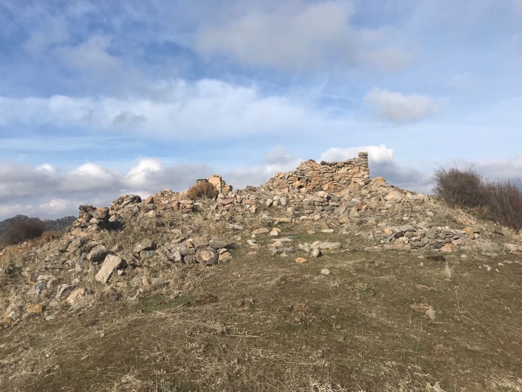
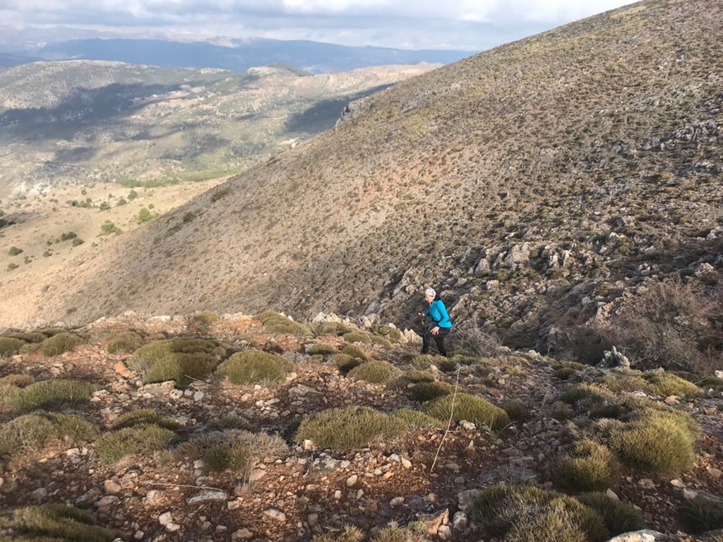
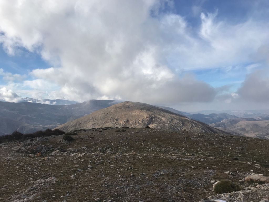
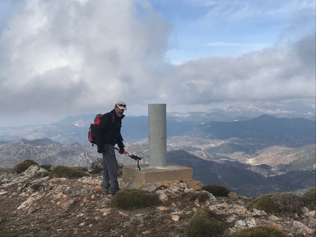
Cerro Carcabal - IBP 136 - Cerro del Zujeiro - Cjo. La Remonta - Barranco de los Linarejos

MTB
MTB
Ref..: 754834
Published: 27/06/2019
Performed: 17/01/2019
Distance in Km: 21.22
Climb in m: 1057
IBP: 128 BYC

fernan2g
Author: fernan2g
1943 published routes

Add to my Group or Club

 Height in m      Climb in %      Speed in Km/h      Speed < 2 Km/h

Climbs > 5%

Climbs >5% Climbs >10% Climbs >15% Climbs >20% Climbs >25%
 Steep slope of 162 m.   Average slope  Distances  Download as waypoint
1
 Km 0.392  7%  162 m
 Steep slope of 262 m.  Average slope  Distances  Download as waypoint
2
 Km 0.692  8%  155 m
3
 Km 0.847  12%  107 m
 Steep slope of 102 m.  Average slope  Distances  Download as waypoint
4
 Km 2.556  7%  102 m
 Steep slope of 170 m.  Average slope  Distances  Download as waypoint
5
 Km 3.527  9%  170 m
 Steep slope of 1606 m.  Average slope  Distances  Download as waypoint
6
 Km 3.892  8%  161 m
7
 Km 4.053  20%  144 m
8
 Km 4.198  10%  151 m
9
 Km 4.349  12%  104 m
10
 Km 4.452  7%  41 m
11
 Km 4.494  14%  254 m
12
 Km 4.748  14%  65 m
13
 Km 4.813  21%  114 m
14
 Km 4.927  26%  355 m
15
 Km 5.282  22%  146 m
16
 Km 5.428  28%  36 m
17
 Km 5.464  16%  35 m
 Steep slope of 334 m.  Average slope  Distances  Download as waypoint
18
 Km 5.675  10%  190 m
19
 Km 5.865  24%  68 m
20
 Km 5.933  23%  35 m
21
 Km 5.968  20%  41 m
 Steep slope of 1404 m.  Average slope  Distances  Download as waypoint
22
 Km 6.071  7%  103 m
23
 Km 6.173  8%  138 m
24
 Km 6.311  25%  180 m
25
 Km 6.491  22%  98 m
26
 Km 6.589  28%  489 m
27
 Km 7.078  28%  35 m
28
 Km 7.113  16%  111 m
29
 Km 7.224  20%  39 m
30
 Km 7.264  23%  140 m
31
 Km 7.404  27%  35 m
32
 Km 7.439  25%  36 m
 Steep slope of 1012 m.  Average slope  Distances  Download as waypoint
33
 Km 8.492  8%  36 m
34
 Km 8.527  13%  250 m
35
 Km 8.778  17%  38 m
36
 Km 8.815  23%  38 m
37
 Km 8.853  28%  249 m
38
 Km 9.102  21%  103 m
39
 Km 9.205  10%  113 m
40
 Km 9.319  15%  114 m
41
 Km 9.432  16%  71 m
 Steep slope of 148 m.  Average slope  Distances  Download as waypoint
42
 Km 11.67  8%  148 m
 Steep slope of 299 m.  Average slope  Distances  Download as waypoint
43
 Km 12.04  12%  199 m
44
 Km 12.239  10%  100 m


Description of the route


Presence of ramps


 Climbs  Distance  % of the total  Speed  Your speed would be  Time  Your time would be
   15 - 30%  2.825  13.31  2.76  ?  1:01:29  ?
   10 - 15%  1.462  6.89  3.83  ?  0:22:54  ?
   5 - 10%  1.671  7.87  5.08  ?  0:19:44  ?
   1 - 5%  2.907  13.7  5.56  ?  0:31:23  ?
   Total*  8.865 Km  41.77 %  3.93 Km/h  ? Km/h    2:15:30 h  ? h  
 Flat
   1 - -1%  1.771 Km  8.34 %  5.57 Km/h  ? Km/h    0:19:05 h  ? h  
 Descents
   -1 - -5%  3.506  16.52  5.82  ?  0:36:07  ?
   -5 - -10%  3.305  15.57  5.53  ?  0:35:50  ?
   -10 - -15%  1.217  5.73  5.58  ?  0:13:05  ?
   -15 - -30%  2.56  12.06  4.01  ?  0:38:19  ?
   Total*  10.587 Km  49.88 %  5.15 Km/h  ? Km/h    2:03:21 h  ? h  
* The total has not necessarily coincide with the sum of the partials after correction of errors

How long would it take you?

How long would it take you to cover this route?
There are routes without a valid time information, but with your average stats you can assess the possible duration

fernan2g to cover this route you've need a time of:   4:37:56 h 
If you sign in and have a minimum of two tracks of this same modality, you can know your time for this route, calculated from your stats..


¿Cuanto consumirá tu E-BIKE?

Entra tu E-IBP (formato n,nn)

E-IBP :   X 128 = 


 Detected activity type =  ()
 Penalization due to track conditions: 63 %   ( > 50 % = MTB, < 50 % = RDB)
 Reliability of the track: A   (1057/79/0/-/-/79)
 Correction level applied to the track: 0
DIFFICULTY OF THE ROUTE
IBP = 128 BYC
According to your statistics
 Your time in motion would be: ? h
Your average speed would be: ? Km/h
 

 Total Distance: 21.22 Km
 Analysed distance: 21.22 Km
 Linear distance: 0.01 Km

 Cumulated positive ramps: 1056.6 m  list of points info
 Cumulated negative ramps: 1043.8 m
 Maximum height: 2017.8 m
 Minimum height: 1255 m
 Climbing Ratio: 11.92 %
 Descent ratio: 9.86 %
 Cumulated postive ramps per Km: 49.79 m
 Cumulated negative ramps per Km: 49.19 m

 Total time: 5:00:36 h
 Time in movement: 4:37:56 h
 According to your statistics
 Your time in motion would be: ? h  
 Stopped time: 0:22:40 h
 Maximum slope filter: ~30 %
 Minimum separation analysed: ~30 m
 Number of points: 1434   (cad. 14.8 m)
 Significant waypoints: 559   (cad. 37.97 m / 38.98 %)

 Changes in direction per Km: 14.28
 Changes in direction > 5º por Km: 11.55
 Cumulated straight stretches: 1.776 Km
 Straight stretches per Km: 83.69 m
 Penalized slope changes: 9
 Penalized slope changes per Km: 0.424

 Average speed in total: 4.24 Km/h
 Average speed while moving: 4.58 Km/h
 According to your statistics
 Your average speed would be: ? Km/h  
 Maximum sustained speed: 8.84 Km/h


Comments

You can be the first one in commenting this route

 
My comments
:
Add comment  (Registered users)
 
Notify me answers to my comment  Do not notify answers to my comment


Share this route with a friend

Your friend will receive a message with a link to this page:
will see your email and your user name if you do it as registered user.


Write here your name (optional)

E-mail address of your friend(s). You can include various addresses separated by commas

Text or comment (optional) maximum 255 characters long, 255 Available characters

As a non registered users you need to fill-in the captcha text.
  Change image
Type the image characters.
 
 Share with a friend


Visited history

Delete history

Marked routes for review later or compare

My favorites


  Notify anomaly in this route Share in Facebook