Aiguafreda-Masia el Pujol-Collformic-Pla de la Calma-Tagament-Figaro-La Garriga-Granollers-Montmelo-...
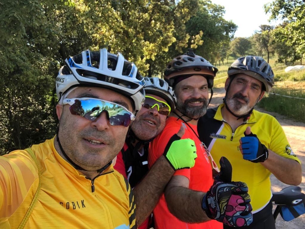
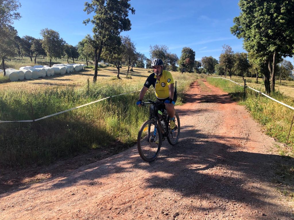
MTB
MTB
Ref..: 749902
Published: 23/06/2019
Performed: 22/06/2019
Distance in Km: 62.85
Climb in m: 1151
IBP: 95 BYC


 Height in m      Climb in %      Speed in Km/h      Speed < 2 Km/h

Climbs > 5%

Climbs >5% Climbs >10% Climbs >15% Climbs >20% Climbs >25%
 Steep slope of 157 m.   Average slope  Distances  Download as waypoint
1
 Km 1.775  6%  157 m
 Steep slope of 309 m.  Average slope  Distances  Download as waypoint
2
 Km 2.161  8%  133 m
3
 Km 2.293  16%  144 m
4
 Km 2.438  7%  32 m
 Steep slope of 162 m.  Average slope  Distances  Download as waypoint
5
 Km 2.896  9%  162 m
 Steep slope of 121 m.  Average slope  Distances  Download as waypoint
6
 Km 3.545  7%  121 m
 Steep slope of 535 m.  Average slope  Distances  Download as waypoint
7
 Km 4.279  7%  137 m
8
 Km 4.416  14%  36 m
9
 Km 4.453  18%  41 m
10
 Km 4.493  21%  70 m
11
 Km 4.563  27%  174 m
12
 Km 4.738  18%  32 m
13
 Km 4.77  8%  45 m
 Steep slope of 101 m.  Average slope  Distances  Download as waypoint
14
 Km 6.208  6%  101 m
 Steep slope of 1134 m.  Average slope  Distances  Download as waypoint
15
 Km 7.689  6%  31 m
16
 Km 7.72  12%  91 m
17
 Km 7.811  8%  237 m
18
 Km 8.048  11%  102 m
19
 Km 8.15  8%  673 m
 Steep slope of 222 m.  Average slope  Distances  Download as waypoint
20
 Km 9.071  7%  222 m
 Steep slope of 490 m.  Average slope  Distances  Download as waypoint
21
 Km 10.43  7%  490 m
 Steep slope of 433 m.  Average slope  Distances  Download as waypoint
22
 Km 11.022  11%  298 m
23
 Km 11.32  8%  135 m
 Steep slope of 147 m.  Average slope  Distances  Download as waypoint
24
 Km 11.564  5%  147 m
 Steep slope of 106 m.  Average slope  Distances  Download as waypoint
25
 Km 11.858  6%  106 m
 Steep slope of 107 m.  Average slope  Distances  Download as waypoint
26
 Km 12.183  6%  107 m
 Steep slope of 135 m.  Average slope  Distances  Download as waypoint
27
 Km 12.439  8%  31 m
28
 Km 12.47  20%  104 m
 Steep slope of 704 m.  Average slope  Distances  Download as waypoint
29
 Km 12.731  7%  417 m
30
 Km 13.148  13%  36 m
31
 Km 13.183  16%  179 m
32
 Km 13.363  15%  72 m
 Steep slope of 723 m.  Average slope  Distances  Download as waypoint
33
 Km 13.769  13%  80 m
34
 Km 13.849  15%  105 m
35
 Km 13.954  15%  125 m
36
 Km 14.079  8%  139 m
37
 Km 14.218  12%  44 m
38
 Km 14.263  17%  115 m
39
 Km 14.377  5%  115 m
 Steep slope of 1511 m.  Average slope  Distances  Download as waypoint
40
 Km 15.16  10%  45 m
41
 Km 15.205  11%  183 m
42
 Km 15.388  10%  202 m
43
 Km 15.59  12%  448 m
44
 Km 16.038  8%  519 m
45
 Km 16.557  10%  114 m
 Steep slope of 135 m.  Average slope  Distances  Download as waypoint
46
 Km 17.702  7%  135 m
 Steep slope of 126 m.  Average slope  Distances  Download as waypoint
47
 Km 18.35  7%  126 m
 Steep slope of 256 m.  Average slope  Distances  Download as waypoint
48
 Km 18.623  8%  256 m
 Steep slope of 557 m.  Average slope  Distances  Download as waypoint
49
 Km 20.829  8%  557 m
 Steep slope of 388 m.  Average slope  Distances  Download as waypoint
50
 Km 22.18  8%  388 m


Description of the route


Presence of ramps


 Climbs  Distance  % of the total  Speed  Your speed would be  Time  Your time would be
   15 - 30%  1.147  1.83  7.65  ?  0:09:00  ?
   10 - 15%  2.019  3.21  5.62  ?  0:21:33  ?
   5 - 10%  6.067  9.65  6.53  ?  0:55:45  ?
   1 - 5%  8.163  12.99  9.35  ?  0:52:24  ?
   Total*  17.396 Km  27.68 %  7.53 Km/h  ? Km/h    2:18:42 h  ? h  
 Flat
   1 - -1%  17.031 Km  27.1 %  19.4 Km/h  ? Km/h    0:52:40 h  ? h  
 Descents
   -1 - -5%  18.99  30.22  20.46  ?  0:55:42  ?
   -5 - -10%  5.066  8.06  23.29  ?  0:13:03  ?
   -10 - -15%  2.778  4.42  19.2  ?  0:08:41  ?
   -15 - -30%  1.586  2.52  8.48  ?  0:11:13  ?
   Total*  28.419 Km  45.22 %  19.23 Km/h  ? Km/h    1:28:39 h  ? h  
* The total has not necessarily coincide with the sum of the partials after correction of errors

How long would it take you?

How long would it take you to cover this route?
There are routes without a valid time information, but with your average stats you can assess the possible duration

Ramon Denuc-TempsMollet to cover this route you've need a time of:   4:40:01 h 
If you sign in and have a minimum of two tracks of this same modality, you can know your time for this route, calculated from your stats..


¿Cuanto consumirá tu E-BIKE?

Entra tu E-IBP (formato n,nn)

E-IBP :   X 95 = 


 Detected activity type =  ()
 Penalization due to track conditions: 61 %   ( > 50 % = MTB, < 50 % = RDB)
 Reliability of the track: A   (1152/79/0/-/-/79)
 Correction level applied to the track: 0
DIFFICULTY OF THE ROUTE
IBP = 95 BYC
According to your statistics
 Your time in motion would be: ? h
Your average speed would be: ? Km/h
 

 Total Distance: 62.85 Km
 Analysed distance: 62.85 Km
 Linear distance: 24.82 Km

 Cumulated positive ramps: 1150.8 m  list of points info
 Cumulated negative ramps: 1447 m
 Maximum height: 1258.6 m
 Minimum height: 51.4 m
 Climbing Ratio: 6.62 %
 Descent ratio: 5.09 %
 Cumulated postive ramps per Km: 18.31 m
 Cumulated negative ramps per Km: 23.02 m

 Total time: 5:32:02 h
 Time in movement: 4:40:01 h
 According to your statistics
 Your time in motion would be: ? h  
 Stopped time: 0:52:01 h
 Maximum slope filter: ~30 %
 Minimum separation analysed: ~30 m
 Number of points: 3093   (cad. 20.32 m)
 Significant waypoints: 1537   (cad. 40.89 m / 49.69 %)

 Changes in direction per Km: 10.84
 Changes in direction > 5º por Km: 7.02
 Cumulated straight stretches: 15.998 Km
 Straight stretches per Km: 254.54 m
 Penalized slope changes: 10
 Penalized slope changes per Km: 0.159

 Average speed in total: 11.36 Km/h
 Average speed while moving: 13.47 Km/h
 According to your statistics
 Your average speed would be: ? Km/h  
 Maximum sustained speed: 44.23 Km/h


Comments

You can be the first one in commenting this route

 
My comments
:
Add comment  (Registered users)
 
Notify me answers to my comment  Do not notify answers to my comment


Share this route with a friend

Your friend will receive a message with a link to this page:
will see your email and your user name if you do it as registered user.


Write here your name (optional)

E-mail address of your friend(s). You can include various addresses separated by commas

Text or comment (optional) maximum 255 characters long, 255 Available characters

As a non registered users you need to fill-in the captcha text.
  Change image
Type the image characters.
 
 Share with a friend


Visited history

Delete history

Marked routes for review later or compare

My favorites


  Notify anomaly in this route Share in Facebook