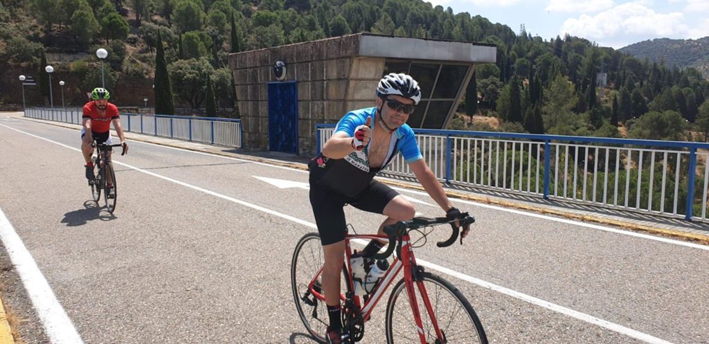
Ruta de domingo en grupo!

Road
Road
Ref..: 737363
Published: 11/06/2019
Performed: 09/06/2019
Distance in Km: 99.13
Climb in m: 1879
IBP: 110 BYC

Antonio_Caballero
417 published routes

Add to my Group or Club

 Height in m      Climb in %      Speed in Km/h      Speed < 2 Km/h

Climbs > 5%

Climbs >5% Climbs >10% Climbs >15% Climbs >20% Climbs >25%
 Steep slope of 137 m.   Average slope  Distances  Download as waypoint
1
 Km 13.022  6%  137 m
 Steep slope of 127 m.  Average slope  Distances  Download as waypoint
2
 Km 13.47  5%  127 m
 Steep slope of 209 m.  Average slope  Distances  Download as waypoint
3
 Km 14.101  6%  209 m
 Steep slope of 785 m.  Average slope  Distances  Download as waypoint
4
 Km 14.452  7%  785 m
 Steep slope of 179 m.  Average slope  Distances  Download as waypoint
5
 Km 27.239  6%  179 m
 Steep slope of 193 m.  Average slope  Distances  Download as waypoint
6
 Km 27.943  6%  193 m
 Steep slope of 311 m.  Average slope  Distances  Download as waypoint
7
 Km 28.269  6%  311 m
 Steep slope of 150 m.  Average slope  Distances  Download as waypoint
8
 Km 28.962  5%  150 m
 Steep slope of 807 m.  Average slope  Distances  Download as waypoint
9
 Km 29.407  8%  807 m
 Steep slope of 135 m.  Average slope  Distances  Download as waypoint
10
 Km 32.11  7%  135 m
 Steep slope of 1652 m.  Average slope  Distances  Download as waypoint
11
 Km 34.964  9%  114 m
12
 Km 35.078  11%  97 m
13
 Km 35.175  8%  473 m
14
 Km 35.648  12%  101 m
15
 Km 35.749  7%  867 m
 Steep slope of 2031 m.  Average slope  Distances  Download as waypoint
16
 Km 36.725  7%  2031 m
 Steep slope of 543 m.  Average slope  Distances  Download as waypoint
17
 Km 45.831  8%  543 m
 Steep slope of 177 m.  Average slope  Distances  Download as waypoint
18
 Km 46.515  6%  177 m
 Steep slope of 530 m.  Average slope  Distances  Download as waypoint
19
 Km 46.863  6%  530 m
 Steep slope of 1174 m.  Average slope  Distances  Download as waypoint
20
 Km 47.682  7%  1174 m
 Steep slope of 1217 m.  Average slope  Distances  Download as waypoint
21
 Km 48.958  7%  1217 m
 Steep slope of 252 m.  Average slope  Distances  Download as waypoint
22
 Km 50.273  6%  252 m
 Steep slope of 237 m.  Average slope  Distances  Download as waypoint
23
 Km 60.741  6%  237 m
 Steep slope of 177 m.  Average slope  Distances  Download as waypoint
24
 Km 66.339  5%  177 m
 Steep slope of 221 m.  Average slope  Distances  Download as waypoint
25
 Km 66.653  6%  221 m
 Steep slope of 379 m.  Average slope  Distances  Download as waypoint
26
 Km 68.159  6%  379 m
 Steep slope of 137 m.  Average slope  Distances  Download as waypoint
27
 Km 68.636  6%  137 m
 Steep slope of 251 m.  Average slope  Distances  Download as waypoint
28
 Km 69.289  5%  251 m
 Steep slope of 278 m.  Average slope  Distances  Download as waypoint
29
 Km 69.647  6%  278 m
 Steep slope of 199 m.  Average slope  Distances  Download as waypoint
30
 Km 70.441  5%  199 m
 Steep slope of 112 m.  Average slope  Distances  Download as waypoint
31
 Km 71.187  5%  112 m
 Steep slope of 245 m.  Average slope  Distances  Download as waypoint
32
 Km 71.437  6%  245 m
 Steep slope of 205 m.  Average slope  Distances  Download as waypoint
33
 Km 71.992  6%  205 m
 Steep slope of 139 m.  Average slope  Distances  Download as waypoint
34
 Km 72.304  6%  139 m
 Steep slope of 104 m.  Average slope  Distances  Download as waypoint
35
 Km 72.655  5%  104 m
 Steep slope of 105 m.  Average slope  Distances  Download as waypoint
36
 Km 72.938  5%  105 m
 Steep slope of 164 m.  Average slope  Distances  Download as waypoint
37
 Km 73.466  6%  164 m
 Steep slope of 464 m.  Average slope  Distances  Download as waypoint
38
 Km 75.849  7%  464 m
 Steep slope of 863 m.  Average slope  Distances  Download as waypoint
39
 Km 76.542  7%  863 m
 Steep slope of 105 m.  Average slope  Distances  Download as waypoint
40
 Km 89.72  6%  105 m
 Steep slope of 109 m.  Average slope  Distances  Download as waypoint
41
 Km 91.406  6%  109 m
 Steep slope of 1017 m.  Average slope  Distances  Download as waypoint
42
 Km 93.253  7%  1017 m
 Steep slope of 157 m.  Average slope  Distances  Download as waypoint
43
 Km 94.945  8%  157 m
 Steep slope of 97 m.  Average slope  Distances  Download as waypoint
44
 Km 95.238  7%  97 m


Description of the route


Presence of ramps


 Climbs  Distance  % of the total  Speed  Your speed would be  Time  Your time would be
   15 - 30%  0  0  0  ?  0:00:00  ?
   10 - 15%  0.461  0.47  9.17  ?  0:03:01  ?
   5 - 10%  17.768  17.92  11.54  ?  1:32:24  ?
   1 - 5%  21.612  21.8  16.44  ?  1:18:52  ?
   Total*  39.841 Km  40.19 %  13.72 Km/h  ? Km/h    2:54:17 h  ? h  
 Flat
   1 - -1%  16.201 Km  16.34 %  24.89 Km/h  ? Km/h    0:39:03 h  ? h  
 Descents
   -1 - -5%  27.319  27.56  35.38  ?  0:46:20  ?
   -5 - -10%  15.067  15.2  47.37  ?  0:19:05  ?
   -10 - -15%  0.699  0.71  54.73  ?  0:00:46  ?
   -15 - -30%  0  0  0  ?  0:00:00  ?
   Total*  43.086 Km  43.46 %  39.06 Km/h  ? Km/h    1:06:11 h  ? h  
* The total has not necessarily coincide with the sum of the partials after correction of errors

How long would it take you?

How long would it take you to cover this route?
There are routes without a valid time information, but with your average stats you can assess the possible duration

Antonio_Caballero to cover this route you've need a time of:   4:39:31 h 
If you sign in and have a minimum of two tracks of this same modality, you can know your time for this route, calculated from your stats..


¿Cuanto consumirá tu E-BIKE?

Entra tu E-IBP (formato n,nn)

E-IBP :   X 110 = 


 Detected activity type =  ()
 Penalization due to track conditions: 39 %   ( > 50 % = MTB, < 50 % = RDB)
 Reliability of the track: A   (1879/75/0/-/-/75)
 Correction level applied to the track: 0
DIFFICULTY OF THE ROUTE
IBP = 110 BYC
According to your statistics
 Your time in motion would be: ? h
Your average speed would be: ? Km/h
 

 Total Distance: 99.13 Km
 Analysed distance: 99.13 Km
 Linear distance: 0.61 Km

 Cumulated positive ramps: 1879.4 m  list of points info
 Cumulated negative ramps: 1874.8 m
 Maximum height: 717 m
 Minimum height: 248.2 m
 Climbing Ratio: 4.72 %
 Descent ratio: 4.35 %
 Cumulated postive ramps per Km: 18.96 m
 Cumulated negative ramps per Km: 18.91 m

 Total time: 5:20:45 h
 Time in movement: 4:39:31 h
 According to your statistics
 Your time in motion would be: ? h  
 Stopped time: 0:41:14 h
 Maximum slope filter: ~30 %
 Minimum separation analysed: ~30 m
 Number of points: 7625   (cad. 13 m)
 Significant waypoints: 2789   (cad. 35.54 m / 36.58 %)

 Changes in direction per Km: 7.87
 Changes in direction > 5º por Km: 4.27
 Cumulated straight stretches: 39.574 Km
 Straight stretches per Km: 399.21 m
 Penalized slope changes: 20
 Penalized slope changes per Km: 0.202

 Average speed in total: 18.54 Km/h
 Average speed while moving: 21.28 Km/h
 According to your statistics
 Your average speed would be: ? Km/h  
 Maximum sustained speed: 79.62 Km/h


Comments

You can be the first one in commenting this route

 
My comments
:
Add comment  (Registered users)
 
Notify me answers to my comment  Do not notify answers to my comment


Share this route with a friend

Your friend will receive a message with a link to this page:
will see your email and your user name if you do it as registered user.


Write here your name (optional)

E-mail address of your friend(s). You can include various addresses separated by commas

Text or comment (optional) maximum 255 characters long, 255 Available characters

As a non registered users you need to fill-in the captcha text.
  Change image
Type the image characters.
 
 Share with a friend


Visited history

Delete history

Marked routes for review later or compare

My favorites


  Notify anomaly in this route Share in Facebook