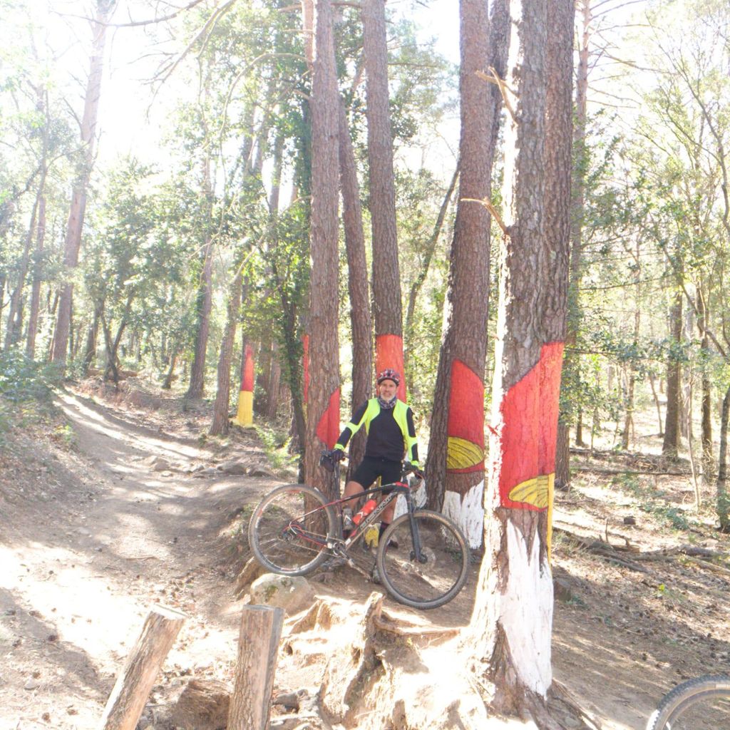
BTT Prades amb la MACHINE del Fran!!!!

MTB
MTB
Ref..: 643252
Published: 16/03/2019
Performed: 15/03/2019
Distance in Km: 61.66
Climb in m: 1968
IBP: 135 BYC

Pepet_.
Author: Pepet_.
204 published routes

Add to my Group or Club

 Height in m      Climb in %      Speed in Km/h      Speed < 2 Km/h

Climbs > 5%

Climbs >5% Climbs >10% Climbs >15% Climbs >20% Climbs >25%
 Steep slope of 1941 m.   Average slope  Distances  Download as waypoint
1
 Km 0.609  8%  1426 m
2
 Km 2.035  12%  122 m
3
 Km 2.157  8%  393 m
 Steep slope of 1128 m.  Average slope  Distances  Download as waypoint
4
 Km 2.858  8%  184 m
5
 Km 3.042  12%  160 m
6
 Km 3.201  8%  362 m
7
 Km 3.563  11%  106 m
8
 Km 3.669  8%  94 m
9
 Km 3.763  10%  183 m
10
 Km 3.947  15%  39 m
 Steep slope of 1367 m.  Average slope  Distances  Download as waypoint
11
 Km 4.149  10%  99 m
12
 Km 4.247  9%  671 m
13
 Km 4.919  13%  109 m
14
 Km 5.028  5%  116 m
15
 Km 5.144  6%  372 m
 Steep slope of 301 m.  Average slope  Distances  Download as waypoint
16
 Km 12.84  6%  301 m
 Steep slope of 148 m.  Average slope  Distances  Download as waypoint
17
 Km 13.449  6%  148 m
 Steep slope of 229 m.  Average slope  Distances  Download as waypoint
18
 Km 13.885  8%  229 m
 Steep slope of 228 m.  Average slope  Distances  Download as waypoint
19
 Km 14.604  7%  228 m
 Steep slope of 2140 m.  Average slope  Distances  Download as waypoint
20
 Km 15.345  7%  778 m
21
 Km 16.123  12%  143 m
22
 Km 16.266  16%  122 m
23
 Km 16.388  13%  43 m
24
 Km 16.431  7%  126 m
25
 Km 16.557  12%  144 m
26
 Km 16.701  5%  171 m
27
 Km 16.872  13%  125 m
28
 Km 16.997  9%  122 m
29
 Km 17.119  13%  71 m
30
 Km 17.19  16%  219 m
31
 Km 17.409  16%  37 m
32
 Km 17.445  9%  39 m
 Steep slope of 423 m.  Average slope  Distances  Download as waypoint
33
 Km 17.969  11%  146 m
34
 Km 18.115  5%  164 m
35
 Km 18.279  10%  113 m
 Steep slope of 157 m.  Average slope  Distances  Download as waypoint
36
 Km 18.603  5%  157 m
 Steep slope of 128 m.  Average slope  Distances  Download as waypoint
37
 Km 19.486  5%  128 m
 Steep slope of 306 m.  Average slope  Distances  Download as waypoint
38
 Km 19.887  9%  306 m
 Steep slope of 264 m.  Average slope  Distances  Download as waypoint
39
 Km 24.941  5%  264 m
 Steep slope of 192 m.  Average slope  Distances  Download as waypoint
40
 Km 25.473  12%  118 m
41
 Km 25.59  11%  74 m
 Steep slope of 1466 m.  Average slope  Distances  Download as waypoint
42
 Km 25.863  9%  498 m
43
 Km 26.361  12%  240 m
44
 Km 26.6  8%  303 m
45
 Km 26.903  13%  391 m
46
 Km 27.294  9%  34 m
 Steep slope of 765 m.  Average slope  Distances  Download as waypoint
47
 Km 28.156  8%  278 m
48
 Km 28.434  12%  120 m
49
 Km 28.554  9%  113 m
50
 Km 28.667  13%  254 m
 Steep slope of 410 m.  Average slope  Distances  Download as waypoint
51
 Km 29.511  8%  33 m
52
 Km 29.544  11%  276 m
53
 Km 29.82  21%  34 m
54
 Km 29.854  17%  67 m
 Steep slope of 101 m.  Average slope  Distances  Download as waypoint
55
 Km 30.639  7%  101 m
 Steep slope of 250 m.  Average slope  Distances  Download as waypoint
56
 Km 31.637  9%  30 m
57
 Km 31.667  9%  104 m
58
 Km 31.771  8%  116 m
 Steep slope of 144 m.  Average slope  Distances  Download as waypoint
59
 Km 32.073  6%  144 m
 Steep slope of 230 m.  Average slope  Distances  Download as waypoint
60
 Km 32.336  10%  230 m
 Steep slope of 285 m.  Average slope  Distances  Download as waypoint
61
 Km 32.727  6%  285 m
 Steep slope of 116 m.  Average slope  Distances  Download as waypoint
62
 Km 33.118  5%  116 m
 Steep slope of 141 m.  Average slope  Distances  Download as waypoint
63
 Km 34.318  11%  141 m
 Steep slope of 187 m.  Average slope  Distances  Download as waypoint
64
 Km 34.633  7%  187 m
 Steep slope of 460 m.  Average slope  Distances  Download as waypoint
65
 Km 34.997  14%  31 m
66
 Km 35.028  17%  189 m
67
 Km 35.217  14%  188 m
68
 Km 35.405  6%  52 m
 Steep slope of 483 m.  Average slope  Distances  Download as waypoint
69
 Km 36.008  11%  224 m
70
 Km 36.232  15%  115 m
71
 Km 36.347  11%  144 m
 Steep slope of 107 m.  Average slope  Distances  Download as waypoint
72
 Km 42.598  7%  107 m
 Steep slope of 111 m.  Average slope  Distances  Download as waypoint
73
 Km 43.525  7%  111 m
 Steep slope of 129 m.  Average slope  Distances  Download as waypoint
74
 Km 43.754  5%  129 m
 Steep slope of 113 m.  Average slope  Distances  Download as waypoint
75
 Km 44.373  5%  113 m
 Steep slope of 362 m.  Average slope  Distances  Download as waypoint
76
 Km 49.367  6%  362 m
 Steep slope of 365 m.  Average slope  Distances  Download as waypoint
77
 Km 49.84  8%  365 m
 Steep slope of 926 m.  Average slope  Distances  Download as waypoint
78
 Km 50.57  7%  926 m
 Steep slope of 377 m.  Average slope  Distances  Download as waypoint
79
 Km 51.593  6%  377 m
 Steep slope of 262 m.  Average slope  Distances  Download as waypoint
80
 Km 52.092  7%  262 m
 Steep slope of 421 m.  Average slope  Distances  Download as waypoint
81
 Km 52.502  7%  421 m
 Steep slope of 316 m.  Average slope  Distances  Download as waypoint
82
 Km 53.25  6%  316 m
 Steep slope of 244 m.  Average slope  Distances  Download as waypoint
83
 Km 53.926  7%  244 m
 Steep slope of 112 m.  Average slope  Distances  Download as waypoint
84
 Km 54.343  5%  112 m


Description of the route


Presence of ramps


 Climbs  Distance  % of the total  Speed  Your speed would be  Time  Your time would be
   15 - 30%  1.184  1.92  6.59  ?  0:10:47  ?
   10 - 15%  4.224  6.85  7.61  ?  0:33:18  ?
   5 - 10%  12.916  20.95  10.6  ?  1:13:07  ?
   1 - 5%  10.414  16.89  13.46  ?  0:46:25  ?
   Total*  28.738 Km  46.61 %  10.54 Km/h  ? Km/h    2:43:37 h  ? h  
 Flat
   1 - -1%  4.831 Km  7.83 %  18.19 Km/h  ? Km/h    0:15:56 h  ? h  
 Descents
   -1 - -5%  11.155  18.09  21.34  ?  0:31:22  ?
   -5 - -10%  11.746  19.05  22.21  ?  0:31:44  ?
   -10 - -15%  3.275  5.31  18.34  ?  0:10:43  ?
   -15 - -30%  1.911  3.1  11.53  ?  0:09:57  ?
   Total*  28.088 Km  45.56 %  20.12 Km/h  ? Km/h    1:23:46 h  ? h  
* The total has not necessarily coincide with the sum of the partials after correction of errors

How long would it take you?

How long would it take you to cover this route?
There are routes without a valid time information, but with your average stats you can assess the possible duration

Pepet_. to cover this route you've need a time of:   4:23:19 h 
If you sign in and have a minimum of two tracks of this same modality, you can know your time for this route, calculated from your stats..


¿Cuanto consumirá tu E-BIKE?

Entra tu E-IBP (formato n,nn)

E-IBP :   X 135 = 


 Detected activity type =  ()
 Penalization due to track conditions: 57 %   ( > 50 % = MTB, < 50 % = RDB)
 Reliability of the track: A   (1968/88/0/-/-/88)
 Correction level applied to the track: 0
DIFFICULTY OF THE ROUTE
IBP = 135 BYC
According to your statistics
 Your time in motion would be: ? h
Your average speed would be: ? Km/h
 

 Total Distance: 61.66 Km
 Analysed distance: 61.66 Km
 Linear distance: 0.09 Km

 Cumulated positive ramps: 1968.4 m  list of points info
 Cumulated negative ramps: 1946.8 m
 Maximum height: 1180 m
 Minimum height: 521.2 m
 Climbing Ratio: 6.85 %
 Descent ratio: 6.93 %
 Cumulated postive ramps per Km: 31.92 m
 Cumulated negative ramps per Km: 31.57 m

 Total time: 5:09:33 h
 Time in movement: 4:23:19 h
 According to your statistics
 Your time in motion would be: ? h  
 Stopped time: 0:46:14 h
 Maximum slope filter: ~30 %
 Minimum separation analysed: ~30 m
 Number of points: 3536   (cad. 17.44 m)
 Significant waypoints: 1591   (cad. 38.75 m / 44.99 %)

 Changes in direction per Km: 11.37
 Changes in direction > 5º por Km: 9.03
 Cumulated straight stretches: 7.318 Km
 Straight stretches per Km: 118.68 m
 Penalized slope changes: 14
 Penalized slope changes per Km: 0.227

 Average speed in total: 11.95 Km/h
 Average speed while moving: 14.05 Km/h
 According to your statistics
 Your average speed would be: ? Km/h  
 Maximum sustained speed: 41.87 Km/h


Comments

You can be the first one in commenting this route

 
My comments
:
Add comment  (Registered users)
 
Notify me answers to my comment  Do not notify answers to my comment


Share this route with a friend

Your friend will receive a message with a link to this page:
will see your email and your user name if you do it as registered user.


Write here your name (optional)

E-mail address of your friend(s). You can include various addresses separated by commas

Text or comment (optional) maximum 255 characters long, 255 Available characters

As a non registered users you need to fill-in the captcha text.
  Change image
Type the image characters.
 
 Share with a friend


Visited history

Delete history

Marked routes for review later or compare

My favorites


  Notify anomaly in this route Share in Facebook