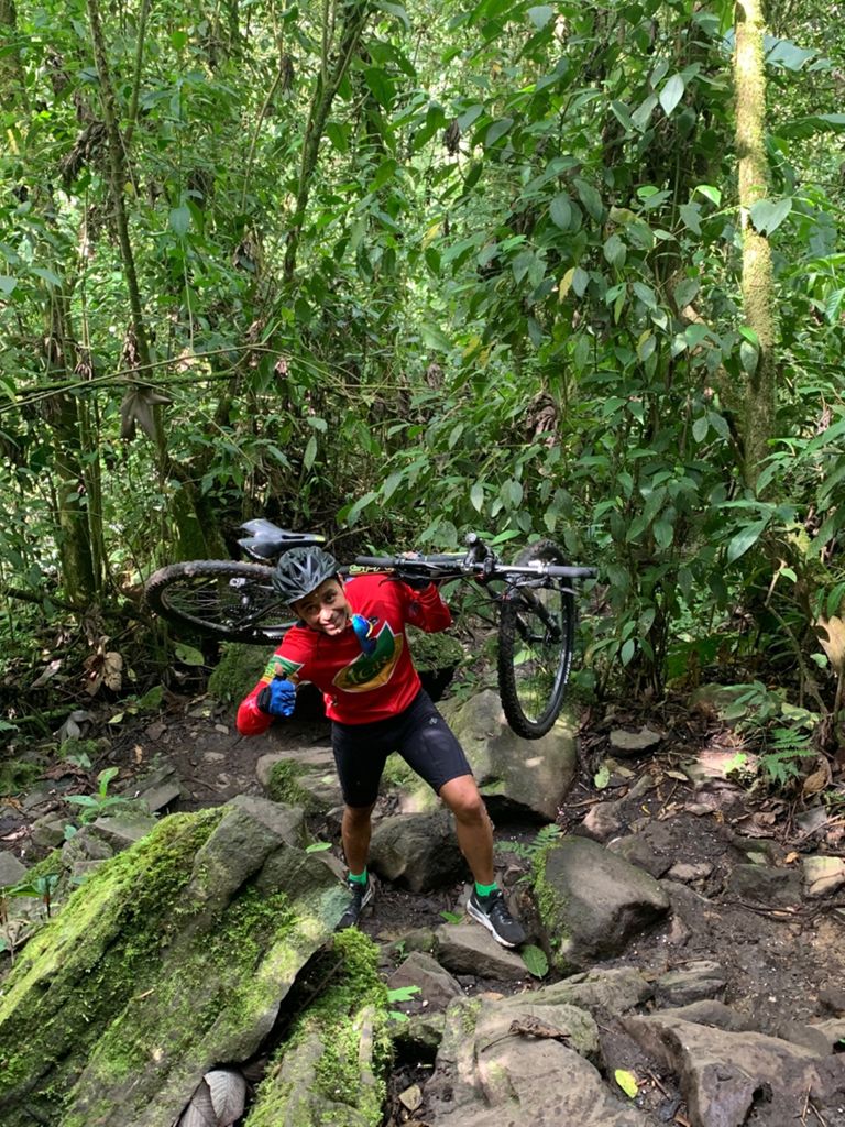
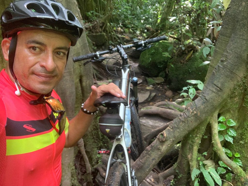
Pereira, Helicoidal, Guacas, Campo Alegrito, Colmenas, Colmenas Alto, Chorros Del Lolo, Don Lolo, Bo...

MTB
MTB
Ref..: 611030
Published: 11/02/2019
Performed: 10/02/2019
Distance in Km: 52.99
Climb in m: 1665
IBP: 144 BYC

Caliche_Van_Van
359 published routes

Add to my Group or Club

 Height in m      Climb in %      Speed in Km/h      Speed < 2 Km/h

Climbs > 5%

Climbs >5% Climbs >10% Climbs >15% Climbs >20% Climbs >25%
 Steep slope of 103 m.   Average slope  Distances  Download as waypoint
1
 Km 1.486  6%  103 m
 Steep slope of 249 m.  Average slope  Distances  Download as waypoint
2
 Km 1.96  6%  76 m
3
 Km 2.036  11%  38 m
4
 Km 2.074  23%  102 m
5
 Km 2.176  13%  33 m
 Steep slope of 515 m.  Average slope  Distances  Download as waypoint
6
 Km 2.779  9%  515 m
 Steep slope of 184 m.  Average slope  Distances  Download as waypoint
7
 Km 5.632  7%  184 m
 Steep slope of 113 m.  Average slope  Distances  Download as waypoint
8
 Km 5.922  8%  113 m
 Steep slope of 207 m.  Average slope  Distances  Download as waypoint
9
 Km 8.418  7%  207 m
 Steep slope of 150 m.  Average slope  Distances  Download as waypoint
10
 Km 9.093  9%  150 m
 Steep slope of 241 m.  Average slope  Distances  Download as waypoint
11
 Km 9.962  7%  241 m
 Steep slope of 149 m.  Average slope  Distances  Download as waypoint
12
 Km 10.349  13%  149 m
 Steep slope of 317 m.  Average slope  Distances  Download as waypoint
13
 Km 10.667  8%  317 m
 Steep slope of 103 m.  Average slope  Distances  Download as waypoint
14
 Km 11.124  14%  103 m
 Steep slope of 323 m.  Average slope  Distances  Download as waypoint
15
 Km 11.471  13%  105 m
16
 Km 11.576  10%  218 m
 Steep slope of 388 m.  Average slope  Distances  Download as waypoint
17
 Km 12.448  7%  32 m
18
 Km 12.48  12%  214 m
19
 Km 12.694  5%  142 m
 Steep slope of 142 m.  Average slope  Distances  Download as waypoint
20
 Km 15.395  6%  142 m
 Steep slope of 181 m.  Average slope  Distances  Download as waypoint
21
 Km 17.254  7%  181 m
 Steep slope of 943 m.  Average slope  Distances  Download as waypoint
22
 Km 18.529  12%  484 m
23
 Km 19.012  8%  116 m
24
 Km 19.128  11%  303 m
25
 Km 19.432  8%  40 m
 Steep slope of 183 m.  Average slope  Distances  Download as waypoint
26
 Km 23.188  6%  183 m
 Steep slope of 913 m.  Average slope  Distances  Download as waypoint
27
 Km 23.469  8%  487 m
28
 Km 23.956  12%  185 m
29
 Km 24.142  9%  241 m
 Steep slope of 270 m.  Average slope  Distances  Download as waypoint
30
 Km 24.484  6%  270 m
 Steep slope of 1151 m.  Average slope  Distances  Download as waypoint
31
 Km 24.961  6%  186 m
32
 Km 25.147  12%  378 m
33
 Km 25.525  8%  241 m
34
 Km 25.766  13%  245 m
35
 Km 26.012  20%  101 m
 Steep slope of 34 m.  Average slope  Distances  Download as waypoint
36
 Km 26.151  17%  34 m
 Steep slope of 345 m.  Average slope  Distances  Download as waypoint
37
 Km 26.601  7%  38 m
38
 Km 26.64  20%  170 m
39
 Km 26.809  12%  102 m
40
 Km 26.911  13%  35 m
 Steep slope of 104 m.  Average slope  Distances  Download as waypoint
41
 Km 27.563  10%  104 m
 Steep slope of 113 m.  Average slope  Distances  Download as waypoint
42
 Km 27.845  6%  113 m
 Steep slope of 693 m.  Average slope  Distances  Download as waypoint
43
 Km 28.784  5%  103 m
44
 Km 28.887  25%  174 m
45
 Km 29.061  19%  106 m
46
 Km 29.167  18%  103 m
47
 Km 29.27  19%  45 m
48
 Km 29.315  6%  123 m
49
 Km 29.438  28%  39 m
 Steep slope of 301 m.  Average slope  Distances  Download as waypoint
50
 Km 30.991  13%  31 m
51
 Km 31.021  17%  67 m
52
 Km 31.089  24%  165 m
53
 Km 31.253  23%  38 m
 Steep slope of 338 m.  Average slope  Distances  Download as waypoint
54
 Km 31.463  15%  207 m
55
 Km 31.67  28%  31 m
56
 Km 31.701  27%  32 m
57
 Km 31.733  15%  68 m
 Steep slope of 344 m.  Average slope  Distances  Download as waypoint
58
 Km 31.83  14%  103 m
59
 Km 31.933  11%  34 m
60
 Km 31.966  9%  105 m
61
 Km 32.071  15%  102 m
 Steep slope of 156 m.  Average slope  Distances  Download as waypoint
62
 Km 37.168  9%  156 m
 Steep slope of 407 m.  Average slope  Distances  Download as waypoint
63
 Km 39.396  7%  407 m
 Steep slope of 404 m.  Average slope  Distances  Download as waypoint
64
 Km 41.275  6%  147 m
65
 Km 41.422  10%  150 m
66
 Km 41.572  9%  107 m


Description of the route


Presence of ramps


 Climbs  Distance  % of the total  Speed  Your speed would be  Time  Your time would be
   15 - 30%  2.423  4.57  4.62  ?  0:31:28  ?
   10 - 15%  3.173  5.99  7.96  ?  0:23:55  ?
   5 - 10%  6.59  12.44  10.36  ?  0:38:11  ?
   1 - 5%  9.61  18.14  12.18  ?  0:47:21  ?
   Total*  21.797 Km  41.14 %  9.28 Km/h  ? Km/h    2:20:55 h  ? h  
 Flat
   1 - -1%  5.344 Km  10.09 %  16.17 Km/h  ? Km/h    0:19:50 h  ? h  
 Descents
   -1 - -5%  13.192  24.9  20.4  ?  0:38:48  ?
   -5 - -10%  8.55  16.14  21.44  ?  0:23:56  ?
   -10 - -15%  2.59  4.89  17.86  ?  0:08:42  ?
   -15 - -30%  1.615  3.05  7.98  ?  0:12:09  ?
   Total*  25.948 Km  48.97 %  18.63 Km/h  ? Km/h    1:23:35 h  ? h  
* The total has not necessarily coincide with the sum of the partials after correction of errors

How long would it take you?

How long would it take you to cover this route?
There are routes without a valid time information, but with your average stats you can assess the possible duration

Caliche_Van_Van to cover this route you've need a time of:   4:04:20 h 
If you sign in and have a minimum of two tracks of this same modality, you can know your time for this route, calculated from your stats..


¿Cuanto consumirá tu E-BIKE?

Entra tu E-IBP (formato n,nn)

E-IBP :   X 144 = 


 Detected activity type =  ()
 Penalization due to track conditions: 81 %   ( > 50 % = MTB, < 50 % = RDB)
 Reliability of the track: C   (1770/53/0/-/-/53)
 Correction level applied to the track: 0
DIFFICULTY OF THE ROUTE
IBP = 144 BYC
According to your statistics
 Your time in motion would be: ? h
Your average speed would be: ? Km/h
 

 Total Distance: 52.99 Km
 Analysed distance: 52.99 Km
 Linear distance: 0.01 Km

 Cumulated positive ramps: 1665.48 m  list of points info
 Cumulated negative ramps: 1665.65 m
 Maximum height: 1921.2 m
 Minimum height: 1331.4 m
 Climbing Ratio: 7.64 %
 Descent ratio: 6.42 %
 Cumulated postive ramps per Km: 31.43 m
 Cumulated negative ramps per Km: 31.43 m

 Total time: 5:58:13 h
 Time in movement: 4:04:20 h
 According to your statistics
 Your time in motion would be: ? h  
 Stopped time: 1:53:53 h
 Maximum slope filter: ~30 %
 Minimum separation analysed: ~30 m
 Number of points: 4161   (cad. 12.73 m)
 Significant waypoints: 1464   (cad. 36.27 m / 35.18 %)

 Changes in direction per Km: 12.64
 Changes in direction > 5º por Km: 7.21
 Cumulated straight stretches: 13.174 Km
 Straight stretches per Km: 248.61 m
 Penalized slope changes: 13
 Penalized slope changes per Km: 0.245

 Average speed in total: 8.87 Km/h
 Average speed while moving: 13.01 Km/h
 According to your statistics
 Your average speed would be: ? Km/h  
 Maximum sustained speed: 55.04 Km/h


Comments

You can be the first one in commenting this route

 
My comments
:
Add comment  (Registered users)
 
Notify me answers to my comment  Do not notify answers to my comment


Share this route with a friend

Your friend will receive a message with a link to this page:
will see your email and your user name if you do it as registered user.


Write here your name (optional)

E-mail address of your friend(s). You can include various addresses separated by commas

Text or comment (optional) maximum 255 characters long, 255 Available characters

As a non registered users you need to fill-in the captcha text.
  Change image
Type the image characters.
 
 Share with a friend


Visited history

Delete history

Marked routes for review later or compare

My favorites


  Notify anomaly in this route Share in Facebook