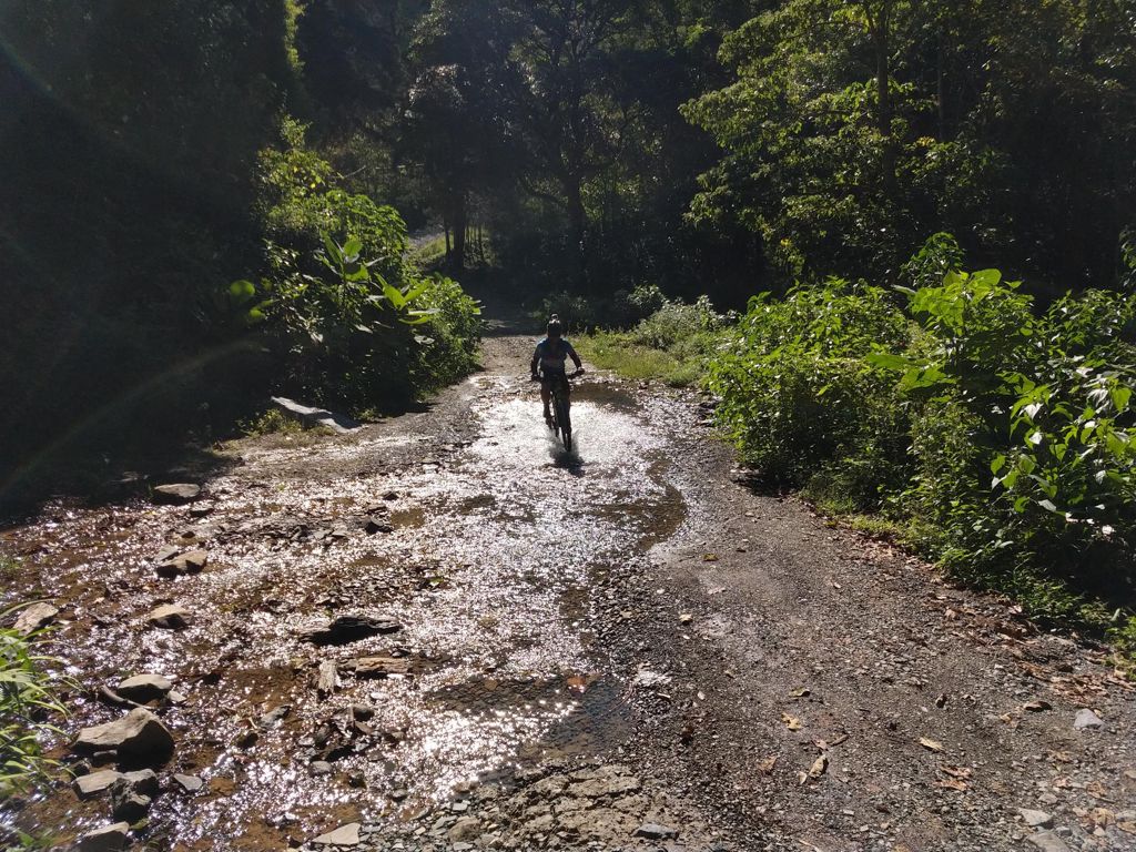
Vuelta ciclística por la mañana

MTB
MTB
Ref..: 529193
Published: 11/11/2018
Performed: 10/11/2018
Distance in Km: 38.68
Climb in m: 1860
IBP: 151 BYC


 Height in m      Climb in %      Speed in Km/h      Speed < 2 Km/h

Climbs > 5%

Climbs >5% Climbs >10% Climbs >15% Climbs >20% Climbs >25%
 Steep slope of 333 m.   Average slope  Distances  Download as waypoint
1
 Km 0.347  8%  333 m
 Steep slope of 138 m.  Average slope  Distances  Download as waypoint
2
 Km 1.109  11%  138 m
 Steep slope of 1086 m.  Average slope  Distances  Download as waypoint
3
 Km 1.425  8%  1086 m
 Steep slope of 233 m.  Average slope  Distances  Download as waypoint
4
 Km 2.611  6%  233 m
 Steep slope of 3196 m.  Average slope  Distances  Download as waypoint
5
 Km 2.987  9%  1043 m
6
 Km 4.03  11%  146 m
7
 Km 4.177  9%  649 m
8
 Km 4.826  12%  249 m
9
 Km 5.076  10%  142 m
10
 Km 5.217  11%  254 m
11
 Km 5.471  9%  109 m
12
 Km 5.58  11%  230 m
13
 Km 5.81  9%  374 m
 Steep slope of 532 m.  Average slope  Distances  Download as waypoint
14
 Km 6.33  7%  139 m
15
 Km 6.469  14%  251 m
16
 Km 6.72  12%  142 m
 Steep slope of 641 m.  Average slope  Distances  Download as waypoint
17
 Km 7.216  7%  66 m
18
 Km 7.281  12%  106 m
19
 Km 7.388  16%  210 m
20
 Km 7.597  16%  259 m
 Steep slope of 306 m.  Average slope  Distances  Download as waypoint
21
 Km 8.187  9%  35 m
22
 Km 8.222  13%  139 m
23
 Km 8.36  8%  132 m
 Steep slope of 644 m.  Average slope  Distances  Download as waypoint
24
 Km 8.64  8%  38 m
25
 Km 8.678  12%  71 m
26
 Km 8.749  16%  265 m
27
 Km 9.014  14%  200 m
28
 Km 9.214  8%  70 m
 Steep slope of 176 m.  Average slope  Distances  Download as waypoint
29
 Km 9.392  9%  176 m
 Steep slope of 334 m.  Average slope  Distances  Download as waypoint
30
 Km 9.756  8%  37 m
31
 Km 9.793  13%  66 m
32
 Km 9.859  18%  100 m
33
 Km 9.959  12%  100 m
34
 Km 10.059  7%  31 m
 Steep slope of 108 m.  Average slope  Distances  Download as waypoint
35
 Km 10.188  9%  108 m
 Steep slope of 251 m.  Average slope  Distances  Download as waypoint
36
 Km 13.264  12%  180 m
37
 Km 13.444  7%  71 m
 Steep slope of 123 m.  Average slope  Distances  Download as waypoint
38
 Km 14.939  16%  123 m
 Steep slope of 73 m.  Average slope  Distances  Download as waypoint
39
 Km 15.441  27%  73 m
 Steep slope of 36 m.  Average slope  Distances  Download as waypoint
40
 Km 15.554  17%  36 m
 Steep slope of 179 m.  Average slope  Distances  Download as waypoint
41
 Km 15.698  10%  36 m
42
 Km 15.734  11%  37 m
43
 Km 15.77  21%  106 m
 Steep slope of 38 m.  Average slope  Distances  Download as waypoint
44
 Km 15.981  28%  38 m
 Steep slope of 760 m.  Average slope  Distances  Download as waypoint
45
 Km 22.061  8%  271 m
46
 Km 22.332  14%  414 m
47
 Km 22.747  11%  75 m
 Steep slope of 4142 m.  Average slope  Distances  Download as waypoint
48
 Km 23.34  7%  36 m
49
 Km 23.376  11%  106 m
50
 Km 23.482  8%  447 m
51
 Km 23.929  11%  190 m
52
 Km 24.119  8%  2597 m
53
 Km 26.716  10%  218 m
54
 Km 26.933  9%  471 m
55
 Km 27.404  14%  77 m
 Steep slope of 1013 m.  Average slope  Distances  Download as waypoint
56
 Km 27.586  7%  1013 m
 Steep slope of 328 m.  Average slope  Distances  Download as waypoint
57
 Km 28.71  7%  328 m
 Steep slope of 187 m.  Average slope  Distances  Download as waypoint
58
 Km 29.304  6%  187 m
 Steep slope of 181 m.  Average slope  Distances  Download as waypoint
59
 Km 30.155  5%  181 m
 Steep slope of 437 m.  Average slope  Distances  Download as waypoint
60
 Km 30.482  8%  332 m
61
 Km 30.814  19%  105 m


Description of the route


Presence of ramps


 Climbs  Distance  % of the total  Speed  Your speed would be  Time  Your time would be
   15 - 30%  1.728  4.47  7.09  ?  0:14:38  ?
   10 - 15%  4.596  11.88  6.91  ?  0:39:56  ?
   5 - 10%  10.756  27.81  7.86  ?  1:22:07  ?
   1 - 5%  4.309  11.14  9.71  ?  0:26:37  ?
   Total*  21.39 Km  55.29 %  7.86 Km/h  ? Km/h    2:43:18 h  ? h  
 Flat
   1 - -1%  1.297 Km  3.35 %  15.83 Km/h  ? Km/h    0:04:55 h  ? h  
 Descents
   -1 - -5%  2.45  6.33  18.41  ?  0:07:59  ?
   -5 - -10%  5.899  15.25  21.58  ?  0:16:24  ?
   -10 - -15%  3.497  9.04  23.89  ?  0:08:47  ?
   -15 - -30%  4.221  10.91  19.06  ?  0:13:17  ?
   Total*  16.066 Km  41.53 %  20.75 Km/h  ? Km/h    0:46:27 h  ? h  
* The total has not necessarily coincide with the sum of the partials after correction of errors

How long would it take you?

How long would it take you to cover this route?
There are routes without a valid time information, but with your average stats you can assess the possible duration

Miguel_Padilla_Robles to cover this route you've need a time of:   3:34:40 h 
If you sign in and have a minimum of two tracks of this same modality, you can know your time for this route, calculated from your stats..


¿Cuanto consumirá tu E-BIKE?

Entra tu E-IBP (formato n,nn)

E-IBP :   X 151 = 


 Detected activity type =  ()
 Penalization due to track conditions: 76 %   ( > 50 % = MTB, < 50 % = RDB)
 Reliability of the track: B   (1920/70/0/-/-/70)
 Correction level applied to the track: 0
DIFFICULTY OF THE ROUTE
IBP = 151 BYC
According to your statistics
 Your time in motion would be: ? h
Your average speed would be: ? Km/h
 

 Total Distance: 38.68 Km
 Analysed distance: 38.68 Km
 Linear distance: 0.01 Km

 Cumulated positive ramps: 1859.51 m  list of points info
 Cumulated negative ramps: 1860.31 m
 Maximum height: 2117.4 m
 Minimum height: 1204.5 m
 Climbing Ratio: 8.69 %
 Descent ratio: 11.58 %
 Cumulated postive ramps per Km: 48.07 m
 Cumulated negative ramps per Km: 48.09 m

 Total time: 4:38:23 h
 Time in movement: 3:34:40 h
 According to your statistics
 Your time in motion would be: ? h  
 Stopped time: 1:03:43 h
 Maximum slope filter: ~30 %
 Minimum separation analysed: ~30 m
 Number of points: 3019   (cad. 12.81 m)
 Significant waypoints: 1073   (cad. 36.15 m / 35.54 %)

 Changes in direction per Km: 11.63
 Changes in direction > 5º por Km: 10.29
 Cumulated straight stretches: 3.237 Km
 Straight stretches per Km: 83.69 m
 Penalized slope changes: 9
 Penalized slope changes per Km: 0.233

 Average speed in total: 8.34 Km/h
 Average speed while moving: 10.81 Km/h
 According to your statistics
 Your average speed would be: ? Km/h  
 Maximum sustained speed: 65.5 Km/h


Comments

You can be the first one in commenting this route

 
My comments
:
Add comment  (Registered users)
 
Notify me answers to my comment  Do not notify answers to my comment


Share this route with a friend

Your friend will receive a message with a link to this page:
will see your email and your user name if you do it as registered user.


Write here your name (optional)

E-mail address of your friend(s). You can include various addresses separated by commas

Text or comment (optional) maximum 255 characters long, 255 Available characters

As a non registered users you need to fill-in the captcha text.
  Change image
Type the image characters.
 
 Share with a friend


Visited history

Delete history

Marked routes for review later or compare

My favorites


  Notify anomaly in this route Share in Facebook