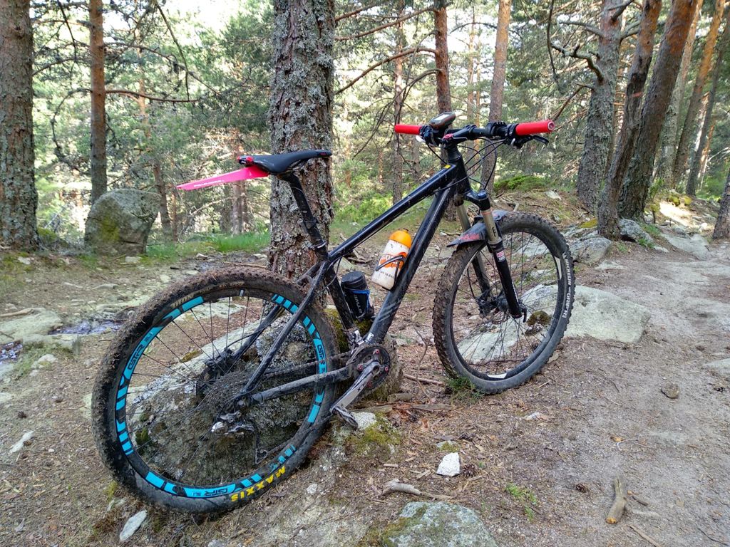
Valdencina (Madrid)

MTB
MTB
Ref..: 418130
Published: 24/06/2018
Performed: 24/06/2018
Distance in Km: 61.92
Climb in m: 1269
IBP: 86 BYC

gurri
Author: gurri
430 published routes

Add to my Group or Club

 Height in m      Climb in %      Speed in Km/h      Speed < 2 Km/h

Climbs > 5%

Climbs >5% Climbs >10% Climbs >15% Climbs >20% Climbs >25%
 Steep slope of 96 m.   Average slope  Distances  Download as waypoint
1
 Km 1.361  9%  96 m
 Steep slope of 104 m.  Average slope  Distances  Download as waypoint
2
 Km 6.916  7%  104 m
 Steep slope of 146 m.  Average slope  Distances  Download as waypoint
3
 Km 11.124  6%  146 m
 Steep slope of 856 m.  Average slope  Distances  Download as waypoint
4
 Km 12.326  6%  36 m
5
 Km 12.362  10%  171 m
6
 Km 12.533  9%  143 m
7
 Km 12.677  10%  100 m
8
 Km 12.777  7%  203 m
9
 Km 12.98  18%  137 m
10
 Km 13.117  9%  33 m
11
 Km 13.15  9%  33 m
 Steep slope of 172 m.  Average slope  Distances  Download as waypoint
12
 Km 13.46  7%  172 m
 Steep slope of 197 m.  Average slope  Distances  Download as waypoint
13
 Km 14.205  6%  197 m
 Steep slope of 1812 m.  Average slope  Distances  Download as waypoint
14
 Km 14.538  8%  70 m
15
 Km 14.608  10%  173 m
16
 Km 14.781  11%  166 m
17
 Km 14.947  11%  201 m
18
 Km 15.148  9%  130 m
19
 Km 15.278  12%  134 m
20
 Km 15.412  7%  206 m
21
 Km 15.618  12%  258 m
22
 Km 15.876  8%  474 m
 Steep slope of 174 m.  Average slope  Distances  Download as waypoint
23
 Km 17.952  6%  174 m
 Steep slope of 109 m.  Average slope  Distances  Download as waypoint
24
 Km 18.279  7%  109 m
 Steep slope of 332 m.  Average slope  Distances  Download as waypoint
25
 Km 18.819  6%  332 m
 Steep slope of 731 m.  Average slope  Distances  Download as waypoint
26
 Km 19.262  7%  731 m
 Steep slope of 321 m.  Average slope  Distances  Download as waypoint
27
 Km 20.416  10%  35 m
28
 Km 20.451  12%  129 m
29
 Km 20.581  9%  157 m
 Steep slope of 332 m.  Average slope  Distances  Download as waypoint
30
 Km 24.346  7%  332 m
 Steep slope of 210 m.  Average slope  Distances  Download as waypoint
31
 Km 24.778  5%  210 m
 Steep slope of 350 m.  Average slope  Distances  Download as waypoint
32
 Km 25.091  6%  350 m
 Steep slope of 176 m.  Average slope  Distances  Download as waypoint
33
 Km 26.255  6%  176 m
 Steep slope of 187 m.  Average slope  Distances  Download as waypoint
34
 Km 28.036  6%  187 m
 Steep slope of 201 m.  Average slope  Distances  Download as waypoint
35
 Km 29.155  5%  201 m
 Steep slope of 381 m.  Average slope  Distances  Download as waypoint
36
 Km 30.415  6%  381 m
 Steep slope of 272 m.  Average slope  Distances  Download as waypoint
37
 Km 31  6%  272 m
 Steep slope of 1135 m.  Average slope  Distances  Download as waypoint
38
 Km 32.91  8%  34 m
39
 Km 32.944  14%  33 m
40
 Km 32.977  17%  160 m
41
 Km 33.138  15%  129 m
42
 Km 33.266  17%  95 m
43
 Km 33.361  10%  97 m
44
 Km 33.458  9%  127 m
45
 Km 33.585  12%  130 m
46
 Km 33.715  9%  330 m
 Steep slope of 108 m.  Average slope  Distances  Download as waypoint
47
 Km 35.114  6%  108 m
 Steep slope of 133 m.  Average slope  Distances  Download as waypoint
48
 Km 45.922  8%  133 m
 Steep slope of 101 m.  Average slope  Distances  Download as waypoint
49
 Km 47.057  9%  101 m


Description of the route


Presence of ramps


 Climbs  Distance  % of the total  Speed  Your speed would be  Time  Your time would be
   15 - 30%  0.559  0.9  5.72  ?  0:05:52  ?
   10 - 15%  1.921  3.1  6.43  ?  0:17:55  ?
   5 - 10%  7.298  11.79  9.58  ?  0:45:43  ?
   1 - 5%  15.527  25.08  12.85  ?  1:12:31  ?
   Total*  25.305 Km  40.87 %  10.69 Km/h  ? Km/h    2:22:01 h  ? h  
 Flat
   1 - -1%  11.406 Km  18.42 %  18.05 Km/h  ? Km/h    0:37:55 h  ? h  
 Descents
   -1 - -5%  16.658  26.9  21.17  ?  0:47:13  ?
   -5 - -10%  5.429  8.77  21.27  ?  0:15:19  ?
   -10 - -15%  2.245  3.63  29.08  ?  0:04:38  ?
   -15 - -30%  0.875  1.41  18.31  ?  0:02:52  ?
   Total*  25.207 Km  40.71 %  21.6 Km/h  ? Km/h    1:10:02 h  ? h  
* The total has not necessarily coincide with the sum of the partials after correction of errors

How long would it take you?

How long would it take you to cover this route?
There are routes without a valid time information, but with your average stats you can assess the possible duration

gurri to cover this route you've need a time of:   4:09:58 h 
If you sign in and have a minimum of two tracks of this same modality, you can know your time for this route, calculated from your stats..


¿Cuanto consumirá tu E-BIKE?

Entra tu E-IBP (formato n,nn)

E-IBP :   X 86 = 


 Detected activity type =  ()
 Penalization due to track conditions: 52 %   ( > 50 % = MTB, < 50 % = RDB)
 Reliability of the track: A   (1273/72/0/-/-/72)
 Correction level applied to the track: 0
DIFFICULTY OF THE ROUTE
IBP = 86 BYC
According to your statistics
 Your time in motion would be: ? h
Your average speed would be: ? Km/h
 

 Total Distance: 61.92 Km
 Analysed distance: 61.92 Km
 Linear distance: 0 Km

 Cumulated positive ramps: 1269.09 m  list of points info
 Cumulated negative ramps: 1269.19 m
 Maximum height: 1800 m
 Minimum height: 912 m
 Climbing Ratio: 5.02 %
 Descent ratio: 5.04 %
 Cumulated postive ramps per Km: 20.5 m
 Cumulated negative ramps per Km: 20.5 m

 Total time: 6:20:33 h
 Time in movement: 4:09:58 h
 According to your statistics
 Your time in motion would be: ? h  
 Stopped time: 2:10:35 h
 Maximum slope filter: ~30 %
 Minimum separation analysed: ~30 m
 Number of points: 4859   (cad. 12.74 m)
 Significant waypoints: 1761   (cad. 35.16 m / 36.24 %)

 Changes in direction per Km: 10.72
 Changes in direction > 5º por Km: 6.56
 Cumulated straight stretches: 14.61 Km
 Straight stretches per Km: 235.95 m
 Penalized slope changes: 11
 Penalized slope changes per Km: 0.178

 Average speed in total: 9.76 Km/h
 Average speed while moving: 14.86 Km/h
 According to your statistics
 Your average speed would be: ? Km/h  
 Maximum sustained speed: 54.17 Km/h


Comments

You can be the first one in commenting this route

 
My comments
:
Add comment  (Registered users)
 
Notify me answers to my comment  Do not notify answers to my comment


Share this route with a friend

Your friend will receive a message with a link to this page:
will see your email and your user name if you do it as registered user.


Write here your name (optional)

E-mail address of your friend(s). You can include various addresses separated by commas

Text or comment (optional) maximum 255 characters long, 255 Available characters

As a non registered users you need to fill-in the captcha text.
  Change image
Type the image characters.
 
 Share with a friend


Visited history

Delete history

Marked routes for review later or compare

My favorites


  Notify anomaly in this route Share in Facebook