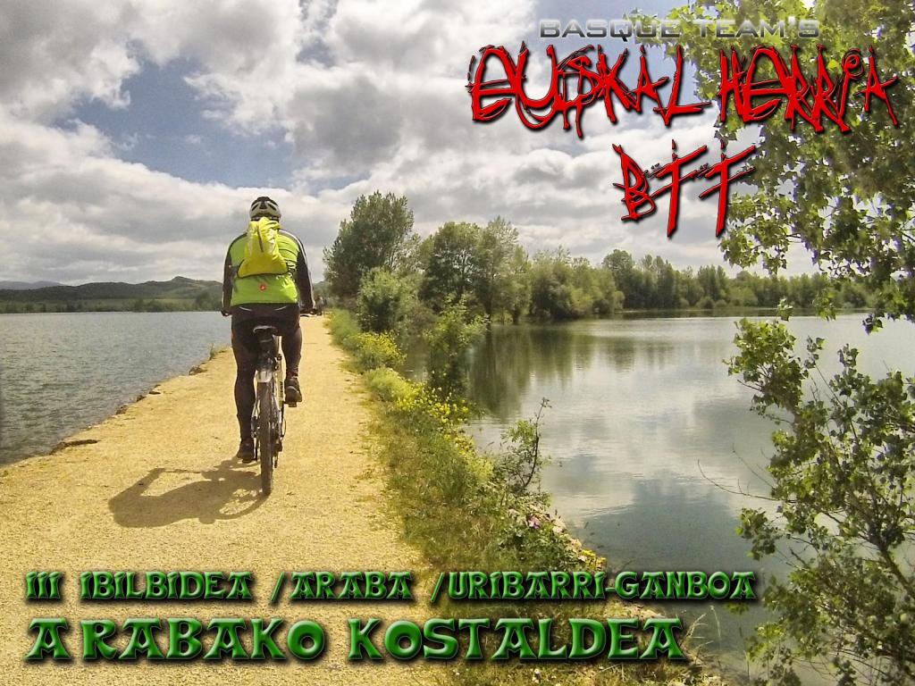
Encajado entre la Llanada Alavesa y las sierras, zona de transición entre los valles cantábricos y las amplias extensiones de la meseta, el embalse de Uribarri-Ganboa es una joya que cobija una gran biodiversidad. Esta enorme lámina de agua, construida en 1949 para abastecer las ciudades de Vitoria-Gasteiz y Bilbao, se ha convertido con el paso de los años en el verdadero mar de Araba. A falta de una verdadera costa marítima, este gran lago artificial ha sido acondicionado de manera inmejorable para el ocio y sus playas disfrutan de similares servicios que sus hermanas de la costa cantábrica. Son muchos los recorridos en bicicleta que se pueden realizar aquí, pero pocos con el valor natural que caracteriza a la ruta verde del embalse. esta magnífica excursión rodea por completo sus orillas, acercando a los ciclistas a parajes de gran belleza donde el agua, los carrizales y las aves son protagonistas indiscutibles. La ruta discurre por buenas pistas, ideales para la práctica de la bicicleta, salvo entre la presa y el club náutico Aldayeta, donde se salva un fuerte desnivel por sendero abrupto. |
Climbs | Distance | % of the total | Speed | Your speed would be | Time | Your time would be | |
15 - 30% | 0 | 0 | 0 | ? | 0:00:00 | ? | |
10 - 15% | 0.144 | 0.34 | 3.41 | ? | 0:02:32 | ? | |
5 - 10% | 0.789 | 1.84 | 5.72 | ? | 0:08:17 | ? | |
1 - 5% | 1.749 | 4.07 | 10.6 | ? | 0:09:54 | ? | |
Total* | 2.682 Km | 6.24 % | 7.77 Km/h | ? Km/h | 0:20:43 h | ? h | |
Flat | |||||||
1 - -1% | 36.771 Km | 85.57 % | 16.07 Km/h | ? Km/h | 2:17:18 h | ? h | |
Descents | |||||||
-1 - -5% | 3.111 | 7.24 | 14.02 | ? | 0:13:19 | ? | |
-5 - -10% | 0.158 | 0.37 | 21.11 | ? | 0:00:27 | ? | |
-10 - -15% | 0.249 | 0.58 | 5.28 | ? | 0:02:50 | ? | |
-15 - -30% | 0 | 0 | 0 | ? | 0:00:00 | ? | |
Total* | 3.519 Km | 8.19 % | 12.72 Km/h | ? Km/h | 0:16:36 h | ? h |
|
Detected activity type = () |
Penalization due to track conditions: 45 % ( > 50 % = MTB, < 50 % = RDB) |
Reliability of the track: E (314/30/2/2/2/63) |
Correction level applied to the track: 7 See analyis without corrections |
DIFFICULTY OF THE ROUTE |
IBP = 25 BYC |
According to your statistics Your time in motion would be: ? h |
Your average speed would be:
? Km/h |
Total Distance: 42.97 Km |
Analysed distance: 42.97 Km |
Linear distance: 0.02 Km |
Cumulated positive ramps: 119.79 m | list of points info |
Cumulated negative ramps: 115.17 m | |
Maximum height: 624.8 m | |
Minimum height: 545.59 m | |
Climbing Ratio: 4.47 % | |
Descent ratio: 3.27 % | |
Cumulated postive ramps per Km: 2.79 m | |
Cumulated negative ramps per Km: 2.68 m |
Total time: 3:31:17 h |
Time in movement: 2:54:37 h |
According to your statistics Your time in motion would be: ? h |
Stopped time: 0:36:40 h |
Maximum slope filter: ~30 % |
Minimum separation analysed: ~30 m |
Number of points: 495 (cad. 86.81 m) |
Significant waypoints: 432 (cad. 99.47 m / 87.27 %) |
Changes in direction per Km: 5.38 |
Changes in direction > 5º por Km: 5.33 |
Cumulated straight stretches: 0.064 Km |
Straight stretches per Km: 1.49 m |
Penalized slope changes: 2 |
Penalized slope changes per Km: 0.047 |
Average speed in total: 12.2 Km/h |
Average speed while moving: 14.76 Km/h |
According to your statistics Your average speed would be: ? Km/h |
Maximum sustained speed: 25.75 Km/h |
Your friend will receive a message with a link to this page: will see your email and your user name if you do it as registered user. Write here your name (optional) |
||||||||
E-mail address of your friend(s). You can include various addresses separated by commas | ||||||||
|