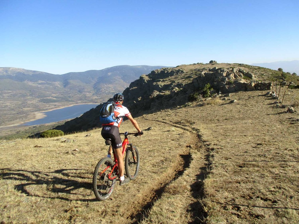
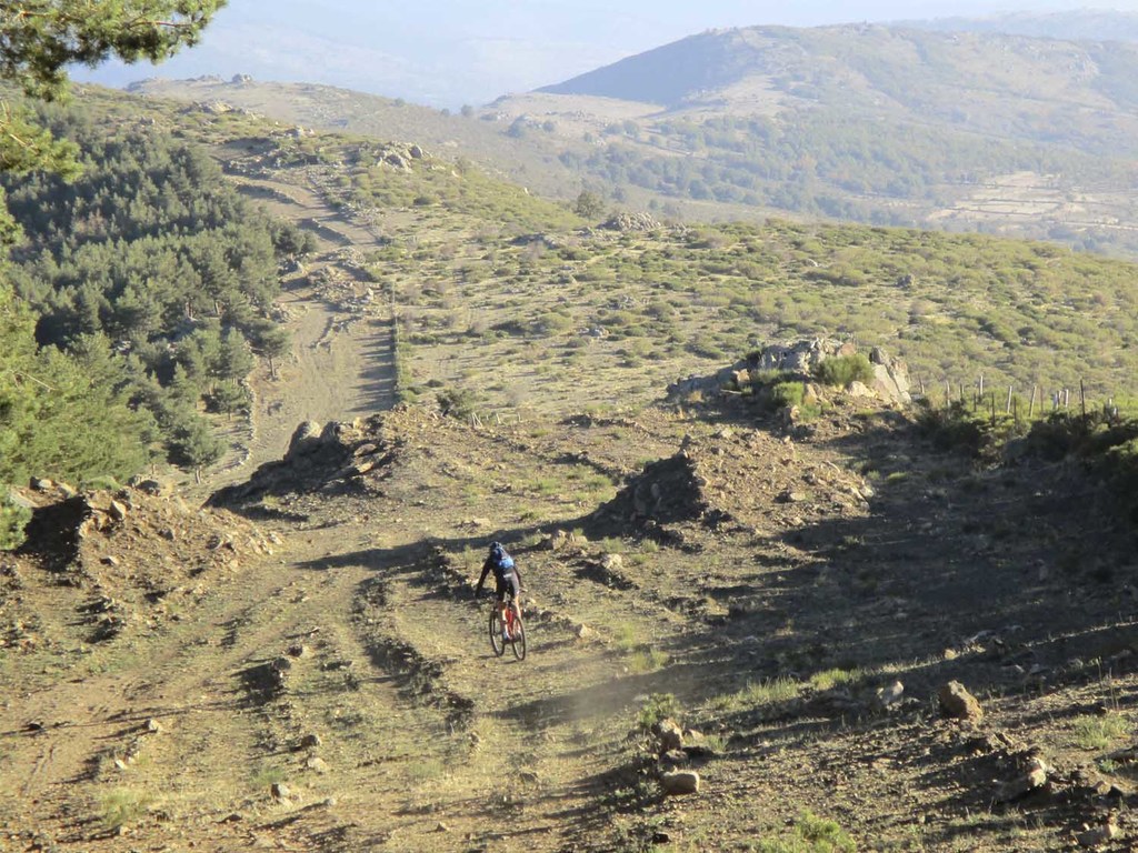
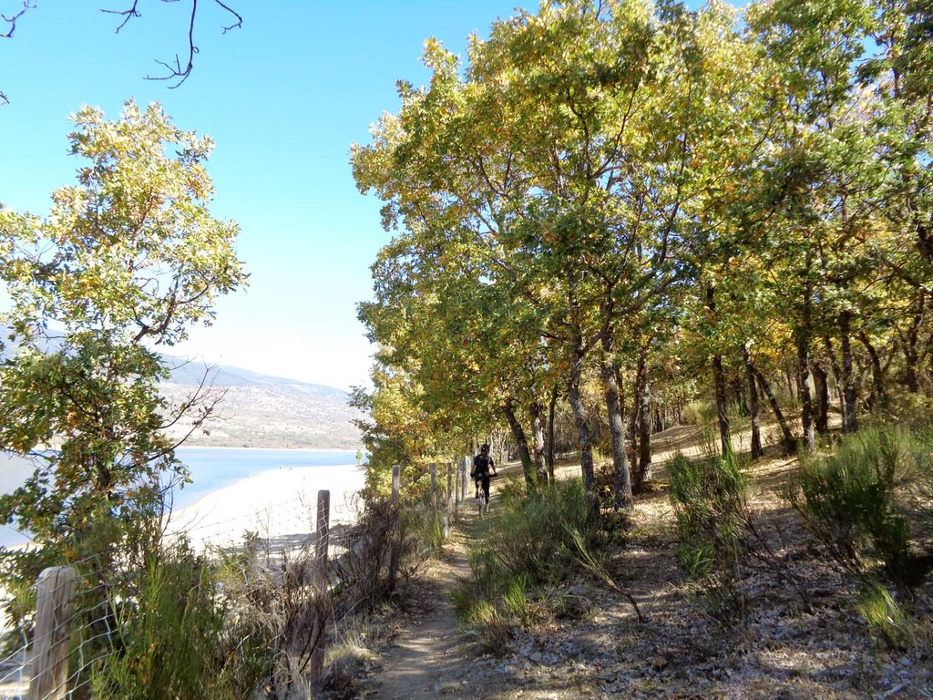
Pto Morcuera Altos de Hontanar Cachiporrilla Embalse Pinilla Rascafria

Road
Ref..: 349771
Published: 25/10/2017
Performed: 14/10/2017
Distance in Km: 66.07
Climb in m: 1392
IBP: 91 BYC
 Not from STRAVA
 No activities
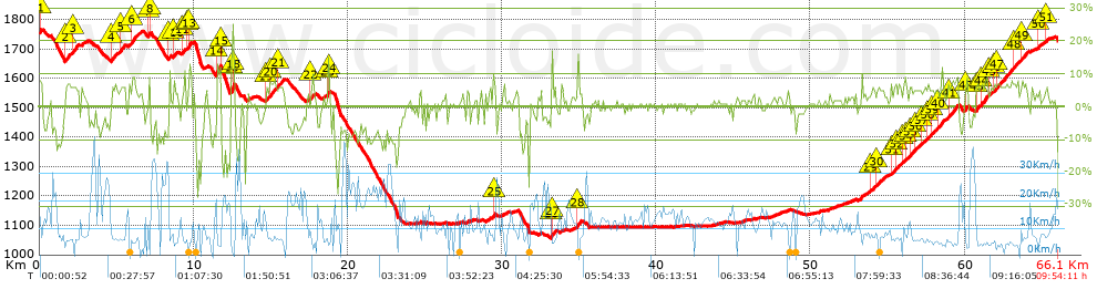


 list of points info

