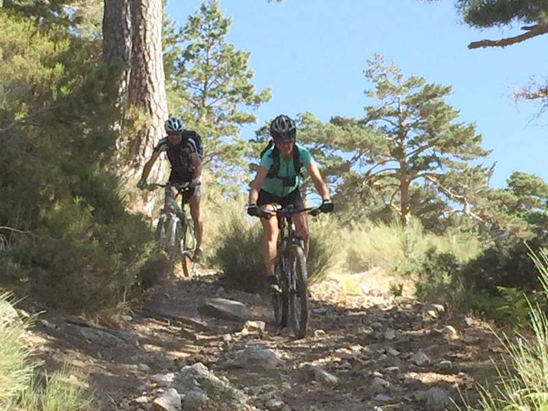
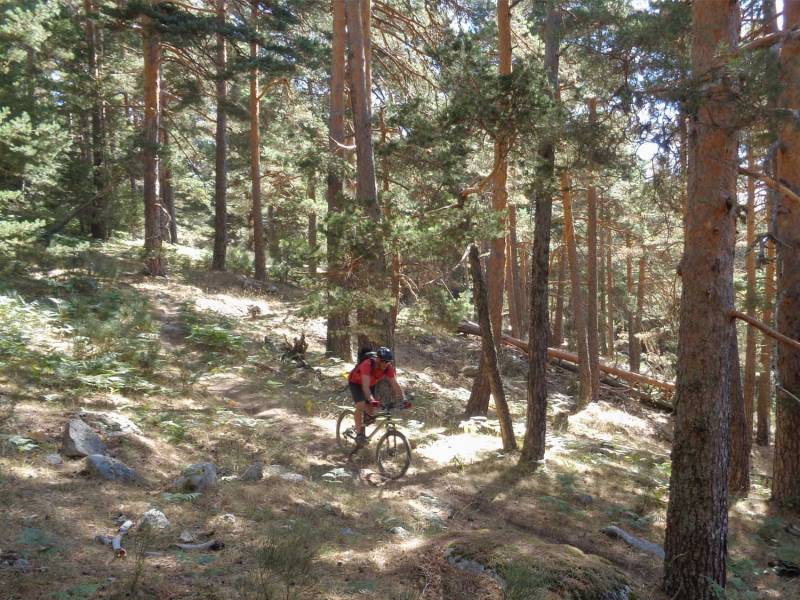
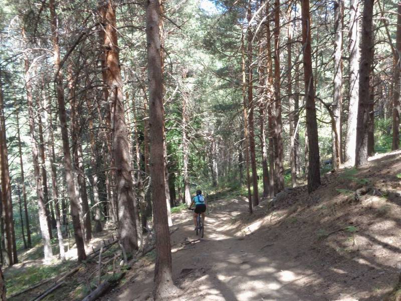
Cercedilla Calvario Collado Albo Teja Victory Vereda Enmedio Senda Agua

MTB
Ref..: 342431
Published: 16/01/2017
Performed: 03/09/2016
Distance in Km: 36.66
Climb in m: 1349
IBP: 100 BYC
 Not from STRAVA
Near ...
Barrio Tablada, Cercedilla, Dehesas, Las, Sanatorio Tablada, Tablada (Apeadero)
Barrio Tablada, Cercedilla, Dehesas, Las, Sanatorio Tablada, Tablada (Apeadero)
 No activities
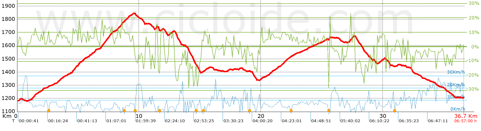


 list of points info

