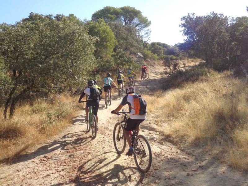
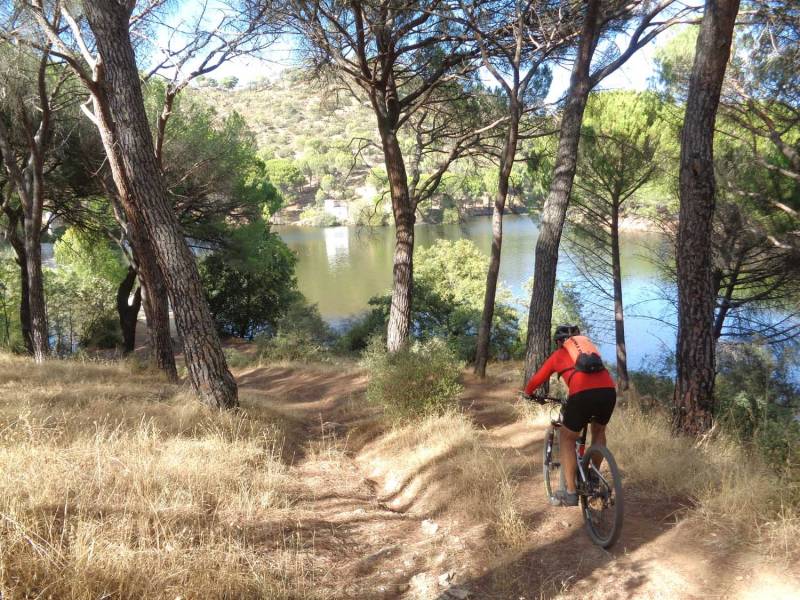
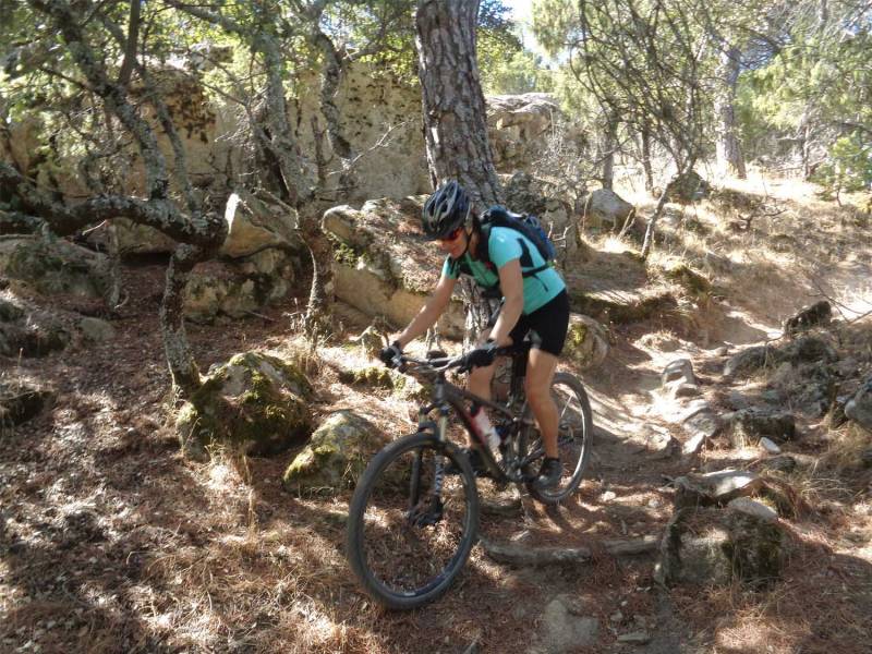
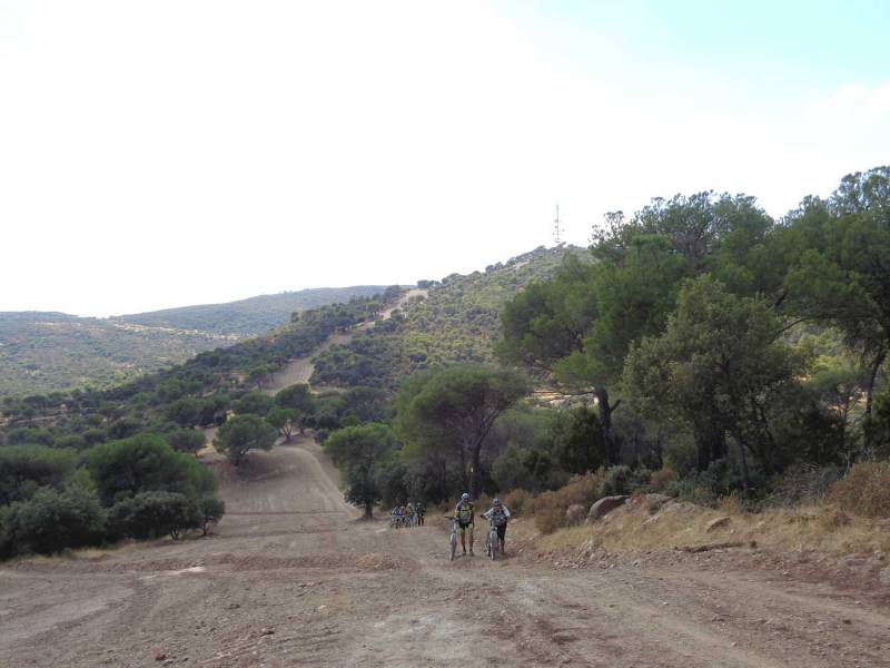
Las seis Marías y una más

MTB
Ref..: 342375
Published: 11/01/2017
Performed: 02/10/2016
Distance in Km: 47.15
Climb in m: 1374
IBP: 106 BYC
 Not from STRAVA
 No activities
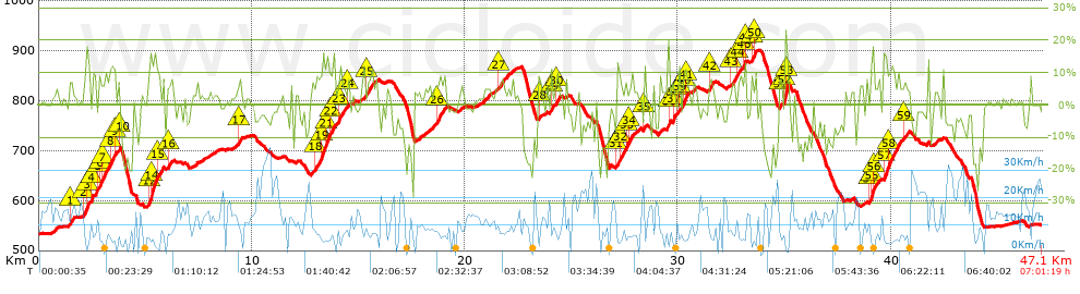


 list of points info

