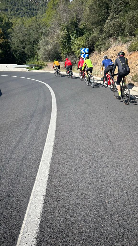
De Sabadell al Farell, per cremar les castanyes i el moscatell

Road
Road
Ref..: 1127323
Published: 02/11/2023
Performed: 01/11/2023
Distance in Km: 72.85
Climb in m: 1249
IBP: 71 BYC

Near ...
Fonts, Les (Sant Quirze Del Valles), Sabadell
Xavi_Mañà
Author: Xavi_Mañà
175 published routes

Add to my Group or Club

 Height in m      Climb in %      Speed in Km/h      Speed < 2 Km/h


Description of the route


Presence of ramps


 Climbs  Distance  % of the total  Speed  Your speed would be  Time  Your time would be
   15 - 30%  0  0  0  ?  0:00:00  ?
   10 - 15%  0.211  0.29  7.85  ?  0:01:37  ?
   5 - 10%  9.585  13.16  13.41  ?  0:42:54  ?
   1 - 5%  19.812  27.2  15.39  ?  1:17:14  ?
   Total*  29.609 Km  40.64 %  14.59 Km/h  ? Km/h    2:01:45 h  ? h  
 Flat
   1 - -1%  12.347 Km  16.95 %  22.54 Km/h  ? Km/h    0:32:52 h  ? h  
 Descents
   -1 - -5%  22.271  30.57  30.45  ?  0:43:53  ?
   -5 - -10%  7.993  10.97  38.68  ?  0:12:24  ?
   -10 - -15%  0.629  0.86  27.59  ?  0:01:22  ?
   -15 - -30%  0  0  0  ?  0:00:00  ?
   Total*  30.892 Km  42.41 %  32.15 Km/h  ? Km/h    0:57:39 h  ? h  
* The total has not necessarily coincide with the sum of the partials after correction of errors

How long would it take you?

How long would it take you to cover this route?
There are routes without a valid time information, but with your average stats you can assess the possible duration

Xavi_Mañà to cover this route you've need a time of:   3:32:16 h 
If you sign in and have a minimum of two tracks of this same modality, you can know your time for this route, calculated from your stats..


?Cuanto consumir? tu E-BIKE?

Entra tu E-IBP (formato n,nn)

E-IBP :   X 71 = 
Calcular consumo


 Detected activity type =  ()
 Penalization due to track conditions: 44 %   ( > 50 % = MTB, < 50 % = RDB)
 Reliability of the track: A   (1249/80/0/-/-/80)
 Correction level applied to the track: 0
DIFFICULTY OF THE ROUTE
IBP = 71 BYC
According to your statistics
 Your time in motion would be: ? h
Your average speed would be: ? Km/h
 

 Total Distance: 72.85 Km
 Analysed distance: 72.85 Km
 Linear distance: 0.34 Km

 Cumulated positive ramps: 1249.2 m  list of points info
 Cumulated negative ramps: 1243 m
 Maximum height: 696 m
 Minimum height: 195.4 m
 Climbing Ratio: 4.22 %
 Descent ratio: 4.02 %
 Cumulated postive ramps per Km: 17.15 m
 Cumulated negative ramps per Km: 17.06 m

 Total time: 5:43:27 h
 Time in movement: 3:32:16 h
 According to your statistics
 Your time in motion would be: ? h  
 Stopped time: 2:11:11 h
 Maximum slope filter: ~30 %
 Minimum separation analysed: ~30 m
 Number of points: 3366   (cad. 21.64 m)
 Significant waypoints: 1745   (cad. 41.75 m / 51.84 %)

 Changes in direction per Km: 8.33
 Changes in direction > 5? por Km: 5.01
 Cumulated straight stretches: 21.83 Km
 Straight stretches per Km: 299.66 m
 Penalized slope changes: 10
 Penalized slope changes per Km: 0.137

 Average speed in total: 12.73 Km/h
 Average speed while moving: 20.59 Km/h
 According to your statistics
 Your average speed would be: ? Km/h  
 Maximum sustained speed: 60.38 Km/h


Comments

You can be the first one in commenting this route

 
My comments
:
Add comment  (Registered users)
 
Notify me answers to my comment  Do not notify answers to my comment


Visited history

Delete history

Marked routes for review later or compare

My favorites


  Notify anomaly in this route Share in Facebook