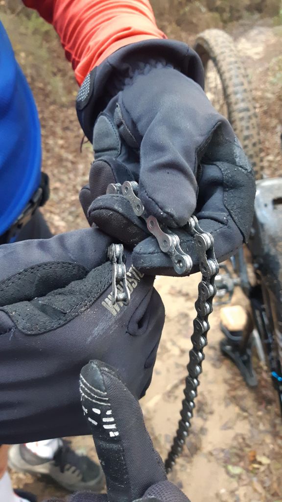
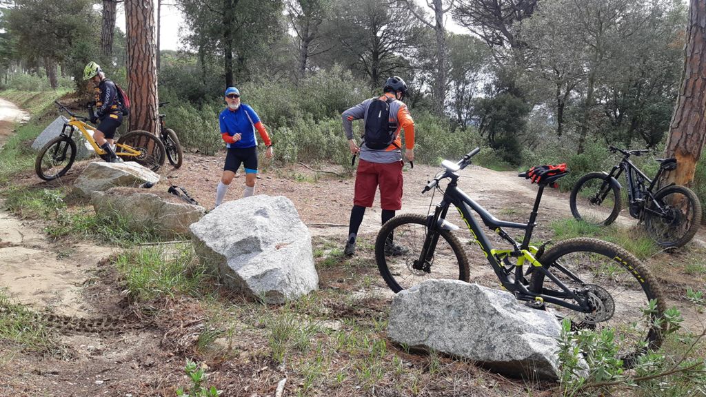
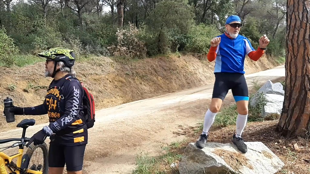
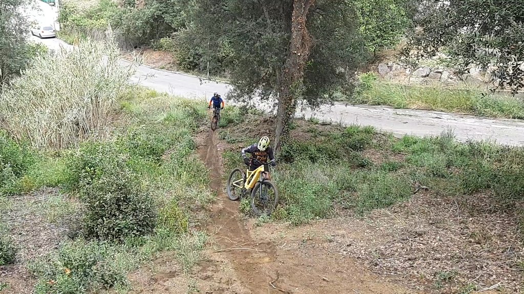
Corrioles con mucho agarre, cadena rota de Guille, ˇˇmucho barro y charcos!! | @LGL

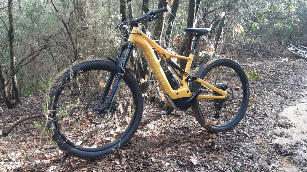
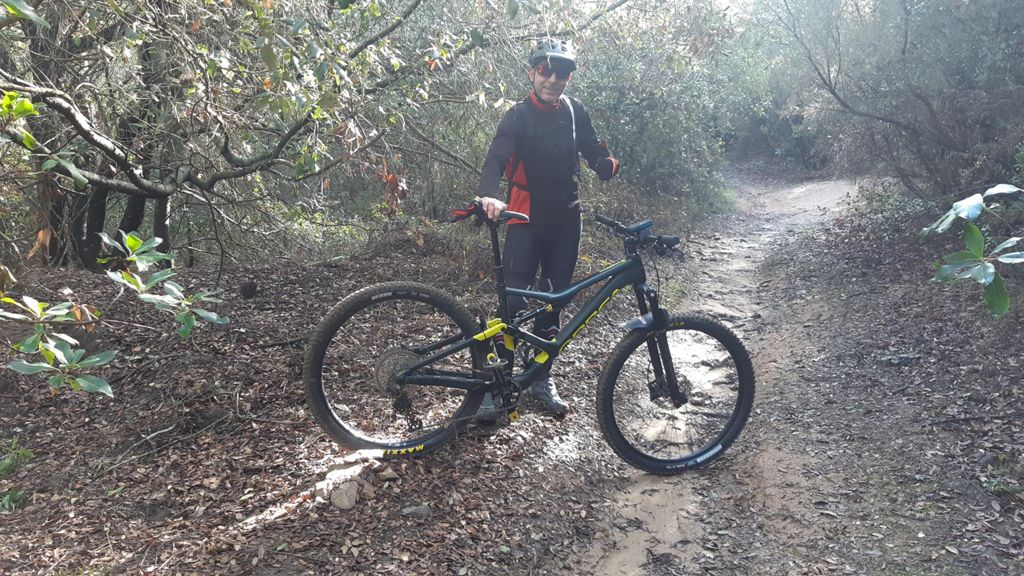
MTB
Ref..: 1102163
Published: 14/05/2023
Performed: 13/05/2023
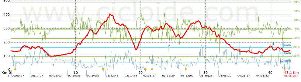
Distance in Km: 43.12
Climb in m: 1072
IBP: 84 BYC
 View on STRAVA
Near ...
Barriada Nova, Can Diviu, Can Duran, Canovelles, Granollers
Barriada Nova, Can Diviu, Can Duran, Canovelles, Granollers


 list of points info

