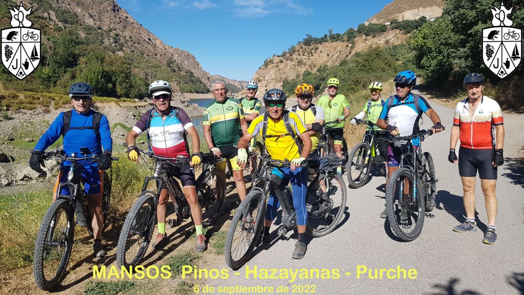
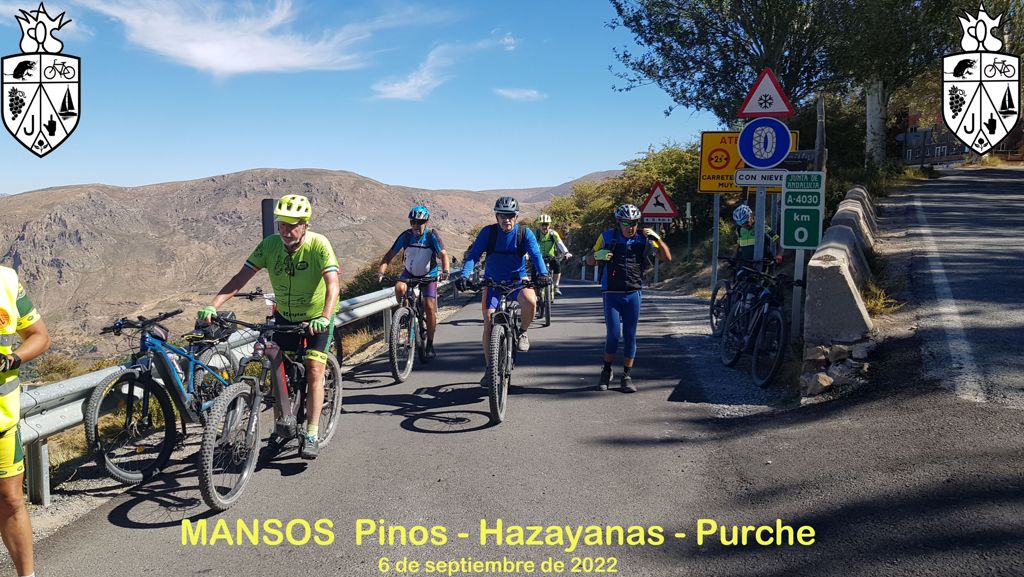
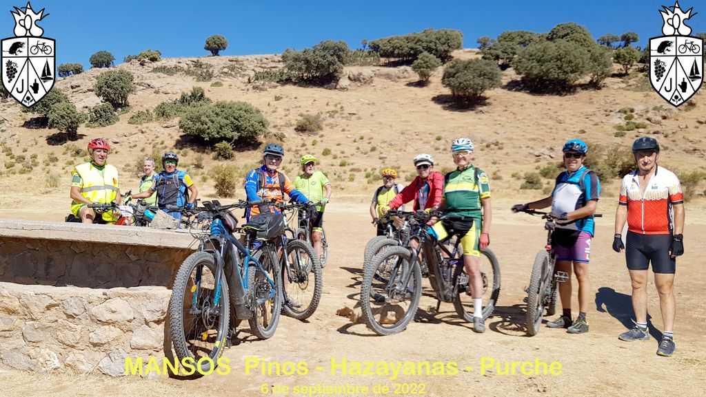
2022 09 06 mansos pinos hazayanas purche

MTB
MTB
Ref..: 1068637
Published: 07/09/2022
Performed: 06/09/2022
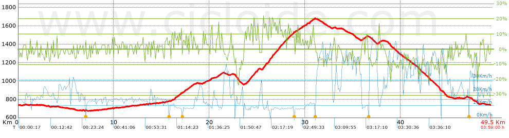
Distance in Km: 49.54
Climb in m: 1480
IBP: 130 BYC


 Height in m      Climb in %      Speed in Km/h      Speed < 2 Km/h

Climbs > 5%

Climbs >5% Climbs >10% Climbs >15% Climbs >20% Climbs >25%
 Steep slope of 108 m.   Average slope  Distances  Download as waypoint
1
 Km 13.594  6%  108 m
 Steep slope of 151 m.  Average slope  Distances  Download as waypoint
2
 Km 15.344  5%  151 m
 Steep slope of 169 m.  Average slope  Distances  Download as waypoint
3
 Km 15.996  7%  169 m
 Steep slope of 735 m.  Average slope  Distances  Download as waypoint
4
 Km 16.302  6%  36 m
5
 Km 16.337  15%  103 m
6
 Km 16.44  8%  596 m
 Steep slope of 567 m.  Average slope  Distances  Download as waypoint
7
 Km 17.214  6%  101 m
8
 Km 17.315  12%  99 m
9
 Km 17.414  8%  96 m
10
 Km 17.51  7%  271 m
 Steep slope of 461 m.  Average slope  Distances  Download as waypoint
11
 Km 17.878  6%  131 m
12
 Km 18.008  11%  98 m
13
 Km 18.106  7%  232 m
 Steep slope of 145 m.  Average slope  Distances  Download as waypoint
14
 Km 18.44  5%  145 m
 Steep slope of 101 m.  Average slope  Distances  Download as waypoint
15
 Km 19.293  8%  101 m
 Steep slope of 170 m.  Average slope  Distances  Download as waypoint
16
 Km 19.499  7%  170 m
 Steep slope of 283 m.  Average slope  Distances  Download as waypoint
17
 Km 20.054  6%  67 m
18
 Km 20.121  9%  106 m
19
 Km 20.227  8%  110 m
 Steep slope of 486 m.  Average slope  Distances  Download as waypoint
20
 Km 20.745  7%  486 m
 Steep slope of 113 m.  Average slope  Distances  Download as waypoint
21
 Km 22.226  7%  113 m
 Steep slope of 1249 m.  Average slope  Distances  Download as waypoint
22
 Km 23.846  6%  32 m
23
 Km 23.878  10%  167 m
24
 Km 24.045  15%  33 m
25
 Km 24.078  15%  99 m
26
 Km 24.177  14%  238 m
27
 Km 24.415  11%  100 m
28
 Km 24.515  12%  170 m
29
 Km 24.685  11%  270 m
30
 Km 24.955  15%  140 m
 Steep slope of 2458 m.  Average slope  Distances  Download as waypoint
31
 Km 25.517  14%  175 m
32
 Km 25.692  9%  104 m
33
 Km 25.796  18%  131 m
34
 Km 25.927  8%  240 m
35
 Km 26.168  18%  210 m
36
 Km 26.378  11%  141 m
37
 Km 26.519  19%  72 m
38
 Km 26.592  14%  35 m
39
 Km 26.627  12%  100 m
40
 Km 26.727  14%  169 m
41
 Km 26.897  10%  263 m
42
 Km 27.16  13%  179 m
43
 Km 27.339  17%  103 m
44
 Km 27.442  10%  233 m
45
 Km 27.675  13%  303 m
 Steep slope of 714 m.  Average slope  Distances  Download as waypoint
46
 Km 28.08  9%  166 m
47
 Km 28.245  13%  239 m
48
 Km 28.484  9%  309 m
 Steep slope of 166 m.  Average slope  Distances  Download as waypoint
49
 Km 28.916  7%  166 m
 Steep slope of 234 m.  Average slope  Distances  Download as waypoint
50
 Km 29.186  8%  234 m
 Steep slope of 203 m.  Average slope  Distances  Download as waypoint
51
 Km 29.554  8%  203 m
 Steep slope of 138 m.  Average slope  Distances  Download as waypoint
52
 Km 29.901  7%  138 m
 Steep slope of 143 m.  Average slope  Distances  Download as waypoint
53
 Km 30.178  10%  143 m
 Steep slope of 377 m.  Average slope  Distances  Download as waypoint
54
 Km 30.465  13%  139 m
55
 Km 30.604  8%  238 m
 Steep slope of 99 m.  Average slope  Distances  Download as waypoint
56
 Km 30.941  8%  99 m
 Steep slope of 418 m.  Average slope  Distances  Download as waypoint
57
 Km 35.913  8%  418 m
 Steep slope of 149 m.  Average slope  Distances  Download as waypoint
58
 Km 36.441  7%  149 m
 Steep slope of 251 m.  Average slope  Distances  Download as waypoint
59
 Km 37.613  9%  251 m
 Steep slope of 254 m.  Average slope  Distances  Download as waypoint
60
 Km 46.681  7%  254 m


Description of the route


Presence of ramps


 Climbs  Distance  % of the total  Speed  Your speed would be  Time  Your time would be
   15 - 30%  1.869  3.77  9.63  ?  0:11:39  ?
   10 - 15%  3.032  6.12  9.79  ?  0:18:35  ?
   5 - 10%  7.928  16.01  11.48  ?  0:41:27  ?
   1 - 5%  7.29  14.72  15.15  ?  0:28:52  ?
   Total*  20.12 Km  40.62 %  12.01 Km/h  ? Km/h    1:40:33 h  ? h  
 Flat
   1 - -1%  7.276 Km  14.69 %  17.46 Km/h  ? Km/h    0:25:00 h  ? h  
 Descents
   -1 - -5%  8.366  16.89  21.56  ?  0:23:17  ?
   -5 - -10%  10.083  20.36  32.67  ?  0:18:31  ?
   -10 - -15%  2.775  5.6  24.67  ?  0:06:45  ?
   -15 - -30%  0.916  1.85  14.03  ?  0:03:55  ?
   Total*  22.14 Km  44.7 %  25.32 Km/h  ? Km/h    0:52:28 h  ? h  
* The total has not necessarily coincide with the sum of the partials after correction of errors

How long would it take you?

How long would it take you to cover this route?
There are routes without a valid time information, but with your average stats you can assess the possible duration

Armando_Rodriguez_Nieto to cover this route you've need a time of:   2:58:01 h 
If you sign in and have a minimum of two tracks of this same modality, you can know your time for this route, calculated from your stats..


¿Cuanto consumirá tu E-BIKE?

Entra tu E-IBP (formato n,nn)

E-IBP :   X 130 = 


 Detected activity type =  ()
 Penalization due to track conditions: 80 %   ( > 50 % = MTB, < 50 % = RDB)
 Reliability of the track: B   (1487/65/0/-/-/65)
 Correction level applied to the track: 0
DIFFICULTY OF THE ROUTE
IBP = 130 BYC
According to your statistics
 Your time in motion would be: ? h
Your average speed would be: ? Km/h
 

 Total Distance: 49.54 Km
 Analysed distance: 49.54 Km
 Linear distance: 0.03 Km

 Cumulated positive ramps: 1479.91 m  list of points info
 Cumulated negative ramps: 1484.62 m
 Maximum height: 1682 m
 Minimum height: 672 m
 Climbing Ratio: 7.36 %
 Descent ratio: 6.71 %
 Cumulated postive ramps per Km: 29.87 m
 Cumulated negative ramps per Km: 29.97 m

 Total time: 3:59:00 h
 Time in movement: 2:58:01 h
 According to your statistics
 Your time in motion would be: ? h  
 Stopped time: 1:00:59 h
 Maximum slope filter: ~30 %
 Minimum separation analysed: ~30 m
 Number of points: 3910   (cad. 12.67 m)
 Significant waypoints: 1376   (cad. 36 m / 35.19 %)

 Changes in direction per Km: 10.15
 Changes in direction > 5º por Km: 6.52
 Cumulated straight stretches: 11.348 Km
 Straight stretches per Km: 229.07 m
 Penalized slope changes: 9
 Penalized slope changes per Km: 0.182

 Average speed in total: 12.44 Km/h
 Average speed while moving: 16.7 Km/h
 According to your statistics
 Your average speed would be: ? Km/h  
 Maximum sustained speed: 65.76 Km/h


Comments

You can be the first one in commenting this route

 
My comments
:
Add comment  (Registered users)
 
Notify me answers to my comment  Do not notify answers to my comment


Share this route with a friend

Your friend will receive a message with a link to this page:
will see your email and your user name if you do it as registered user.


Write here your name (optional)

E-mail address of your friend(s). You can include various addresses separated by commas

Text or comment (optional) maximum 255 characters long, 255 Available characters

As a non registered users you need to fill-in the captcha text.
  Change image
Type the image characters.
 
 Share with a friend


Visited history

Delete history

Marked routes for review later or compare

My favorites


  Notify anomaly in this route Share in Facebook