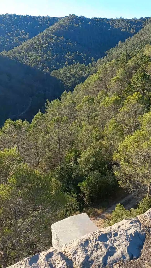
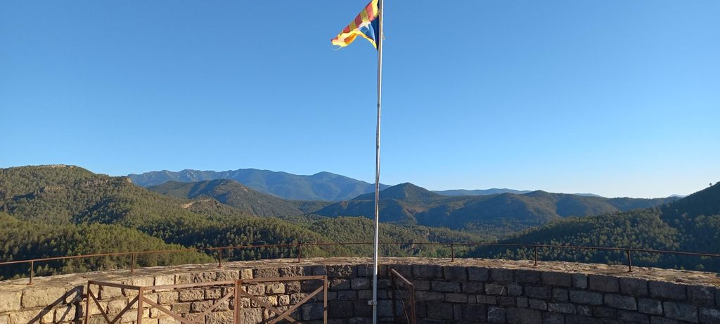
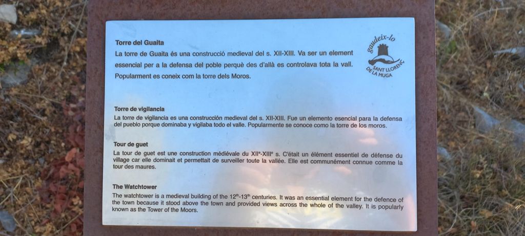
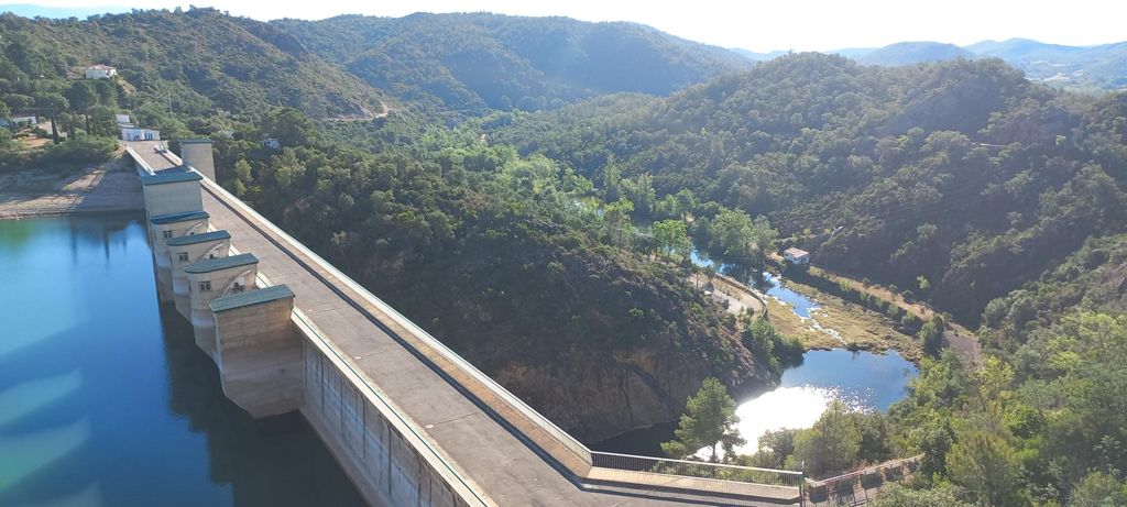
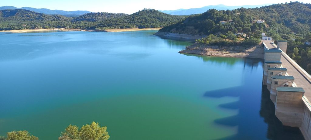
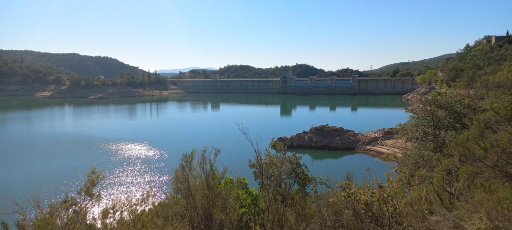
Figueres PdM Terrades Torre del Guaita Sant Llorenç Presa Boadella PdM Cabanes Vilabertran

MTB
MTB
Ref..: 1058430
Published: 09/07/2022
Performed: 08/07/2022
Distance in Km: 58.99
Climb in m: 871
IBP: 63 BYC

CPQS
Author: CPQS
379 published routes

Add to my Group or Club

 Height in m      Climb in %      Speed in Km/h      Speed < 2 Km/h

Climbs > 5%

Climbs >5% Climbs >10% Climbs >15% Climbs >20% Climbs >25%
 Steep slope of 142 m.   Average slope  Distances  Download as waypoint
1
 Km 5.693  5%  142 m
 Steep slope of 1199 m.  Average slope  Distances  Download as waypoint
2
 Km 8.871  7%  1028 m
3
 Km 9.899  12%  134 m
4
 Km 10.032  8%  37 m
 Steep slope of 280 m.  Average slope  Distances  Download as waypoint
5
 Km 10.35  7%  280 m
 Steep slope of 505 m.  Average slope  Distances  Download as waypoint
6
 Km 13.136  6%  505 m
 Steep slope of 248 m.  Average slope  Distances  Download as waypoint
7
 Km 17.565  5%  248 m
 Steep slope of 775 m.  Average slope  Distances  Download as waypoint
8
 Km 18.073  7%  775 m
 Steep slope of 110 m.  Average slope  Distances  Download as waypoint
9
 Km 20.504  10%  110 m
 Steep slope of 164 m.  Average slope  Distances  Download as waypoint
10
 Km 21.857  9%  164 m
 Steep slope of 100 m.  Average slope  Distances  Download as waypoint
11
 Km 23.505  9%  100 m
 Steep slope of 559 m.  Average slope  Distances  Download as waypoint
12
 Km 27.001  8%  67 m
13
 Km 27.068  11%  351 m
14
 Km 27.419  7%  141 m
 Steep slope of 143 m.  Average slope  Distances  Download as waypoint
15
 Km 29.093  7%  143 m
 Steep slope of 151 m.  Average slope  Distances  Download as waypoint
16
 Km 29.346  11%  151 m
 Steep slope of 183 m.  Average slope  Distances  Download as waypoint
17
 Km 29.637  11%  144 m
18
 Km 29.781  6%  39 m
 Steep slope of 289 m.  Average slope  Distances  Download as waypoint
19
 Km 31.243  10%  289 m
 Steep slope of 747 m.  Average slope  Distances  Download as waypoint
20
 Km 32.045  9%  213 m
21
 Km 32.258  14%  316 m
22
 Km 32.575  5%  218 m
 Steep slope of 143 m.  Average slope  Distances  Download as waypoint
23
 Km 33.439  6%  143 m
 Steep slope of 119 m.  Average slope  Distances  Download as waypoint
24
 Km 42.362  6%  119 m


Description of the route


Presence of ramps


 Climbs  Distance  % of the total  Speed  Your speed would be  Time  Your time would be
   15 - 30%  0.179  0.3  11.93  ?  0:00:54  ?
   10 - 15%  1.165  1.98  11.56  ?  0:06:03  ?
   5 - 10%  4.986  8.45  12.81  ?  0:23:21  ?
   1 - 5%  15.097  25.59  17.76  ?  0:51:01  ?
   Total*  21.428 Km  36.32 %  15.81 Km/h  ? Km/h    1:21:19 h  ? h  
 Flat
   1 - -1%  16.258 Km  27.56 %  19.99 Km/h  ? Km/h    0:48:48 h  ? h  
 Descents
   -1 - -5%  14.812  25.11  19.69  ?  0:45:08  ?
   -5 - -10%  5.252  8.9  19.27  ?  0:16:21  ?
   -10 - -15%  0.896  1.52  18.75  ?  0:02:52  ?
   -15 - -30%  0.348  0.59  19.57  ?  0:01:04  ?
   Total*  21.308 Km  36.12 %  19.54 Km/h  ? Km/h    1:05:25 h  ? h  
* The total has not necessarily coincide with the sum of the partials after correction of errors

How long would it take you?

How long would it take you to cover this route?
There are routes without a valid time information, but with your average stats you can assess the possible duration

CPQS to cover this route you've need a time of:   3:15:32 h 
If you sign in and have a minimum of two tracks of this same modality, you can know your time for this route, calculated from your stats..


¿Cuanto consumirá tu E-BIKE?

Entra tu E-IBP (formato n,nn)

E-IBP :   X 63 = 


 Detected activity type =  ()
 Penalization due to track conditions: 58 %   ( > 50 % = MTB, < 50 % = RDB)
 Reliability of the track: D   (1099/49/1/8/-/67)
 Correction level applied to the track: 2        See analyis without corrections
DIFFICULTY OF THE ROUTE
IBP = 63 BYC
According to your statistics
 Your time in motion would be: ? h
Your average speed would be: ? Km/h
 

 Total Distance: 58.99 Km
 Analysed distance: 58.99 Km
 Linear distance: 0.38 Km

 Cumulated positive ramps: 871.01 m  list of points info
 Cumulated negative ramps: 863.91 m
 Maximum height: 304.9 m
 Minimum height: 12.4 m
 Climbing Ratio: 4.06 %
 Descent ratio: 4.05 %
 Cumulated postive ramps per Km: 14.77 m
 Cumulated negative ramps per Km: 14.65 m

 Total time: 3:36:16 h
 Time in movement: 3:15:32 h
 According to your statistics
 Your time in motion would be: ? h  
 Stopped time: 0:20:44 h
 Maximum slope filter: ~30 %
 Minimum separation analysed: ~30 m
 Number of points: 4639   (cad. 12.72 m)
 Significant waypoints: 1628   (cad. 36.24 m / 35.09 %)

 Changes in direction per Km: 11.09
 Changes in direction > 5º por Km: 6.75
 Cumulated straight stretches: 13.961 Km
 Straight stretches per Km: 236.67 m
 Penalized slope changes: 8
 Penalized slope changes per Km: 0.136

 Average speed in total: 16.37 Km/h
 Average speed while moving: 18.1 Km/h
 According to your statistics
 Your average speed would be: ? Km/h  
 Maximum sustained speed: 51.92 Km/h


Comments

You can be the first one in commenting this route

 
My comments
:
Add comment  (Registered users)
 
Notify me answers to my comment  Do not notify answers to my comment


Share this route with a friend

Your friend will receive a message with a link to this page:
will see your email and your user name if you do it as registered user.


Write here your name (optional)

E-mail address of your friend(s). You can include various addresses separated by commas

Text or comment (optional) maximum 255 characters long, 255 Available characters

As a non registered users you need to fill-in the captcha text.
  Change image
Type the image characters.
 
 Share with a friend


Visited history

Delete history

Marked routes for review later or compare

My favorites


  Notify anomaly in this route Share in Facebook