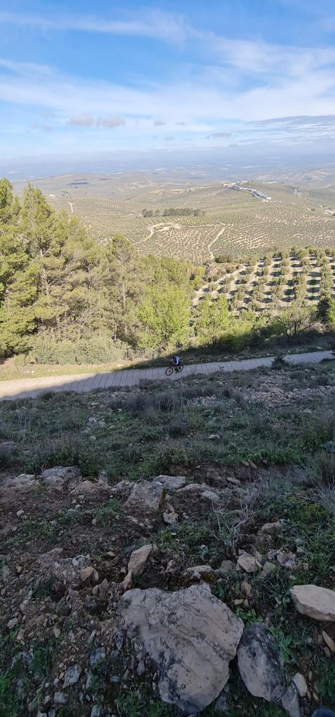
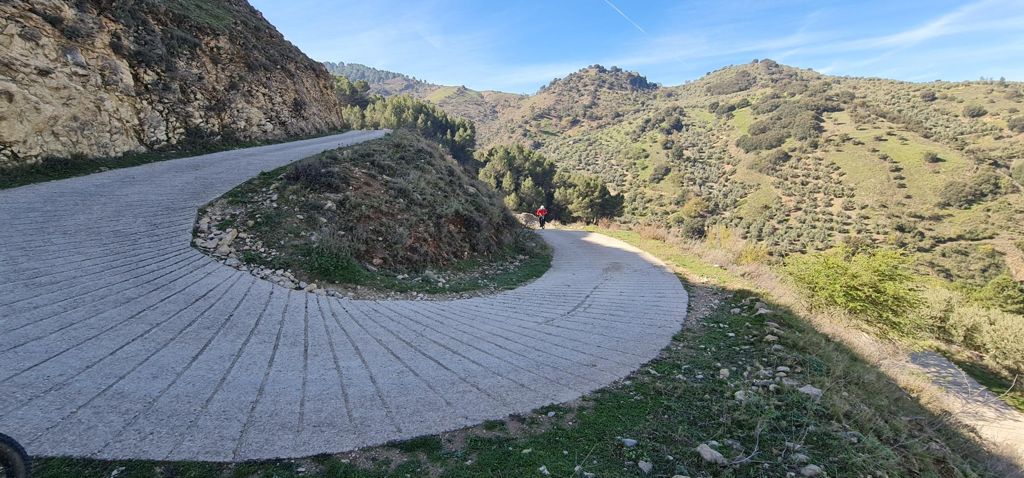
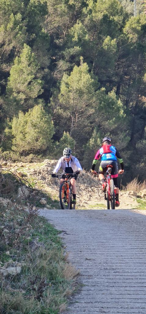
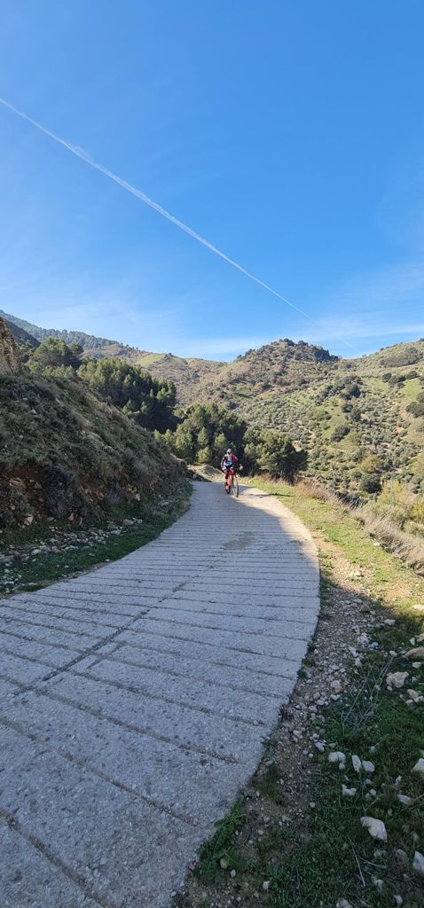
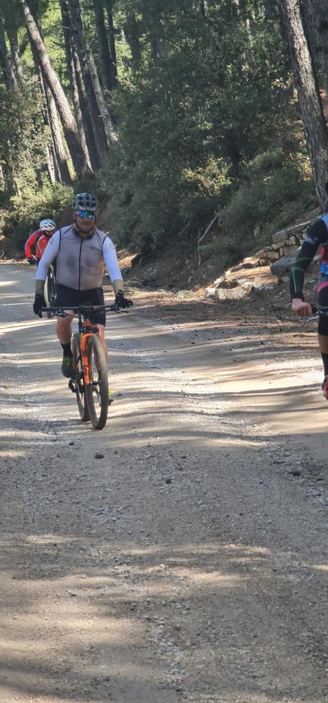
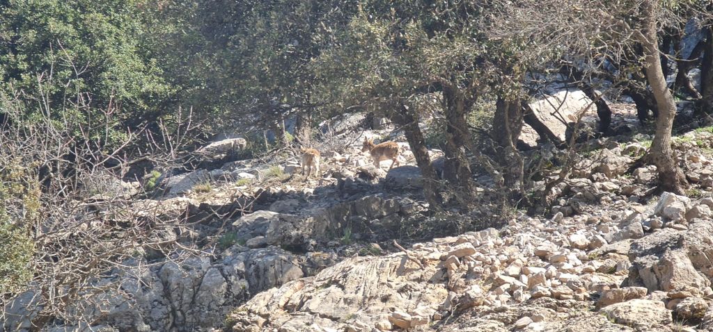
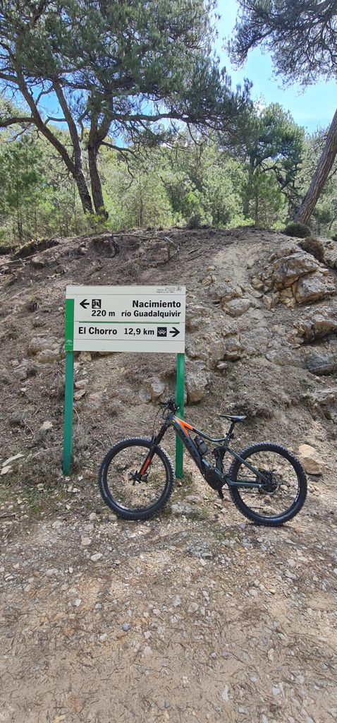
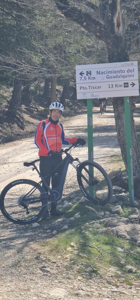
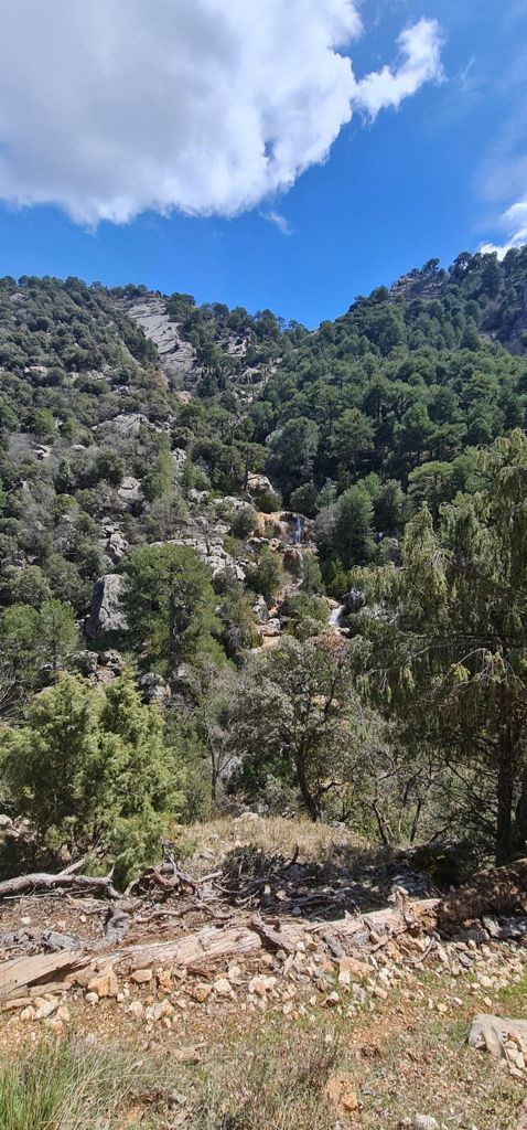
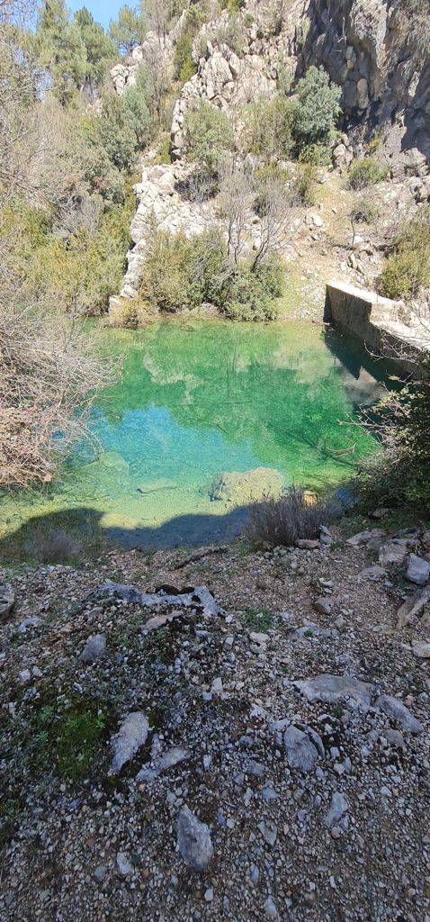
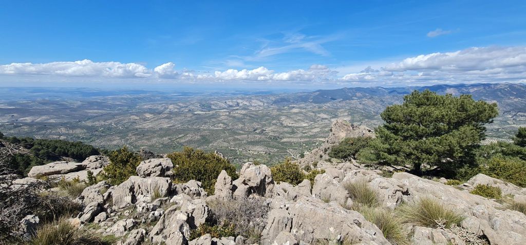
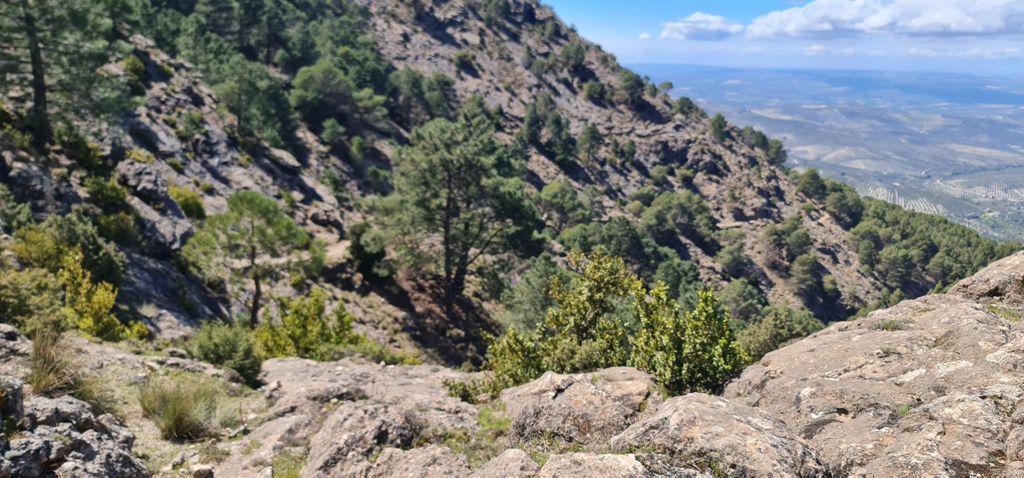
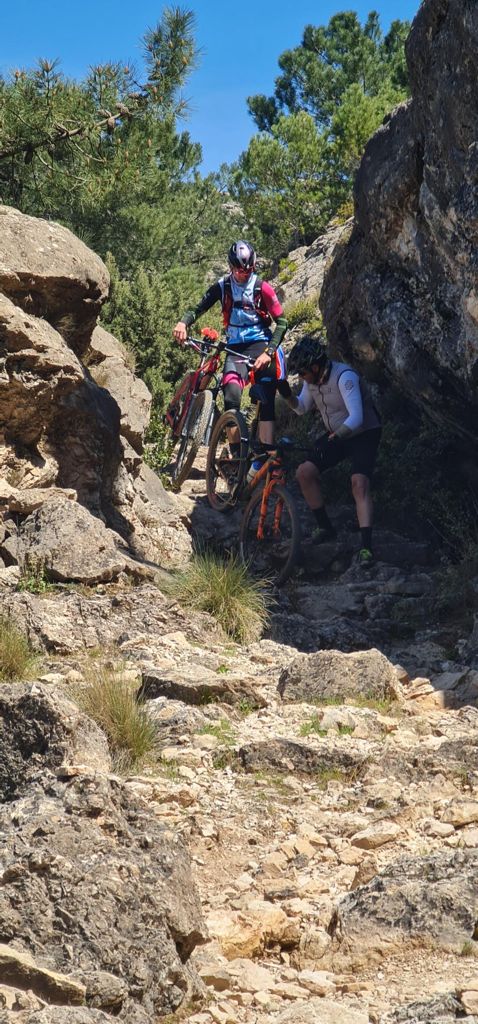
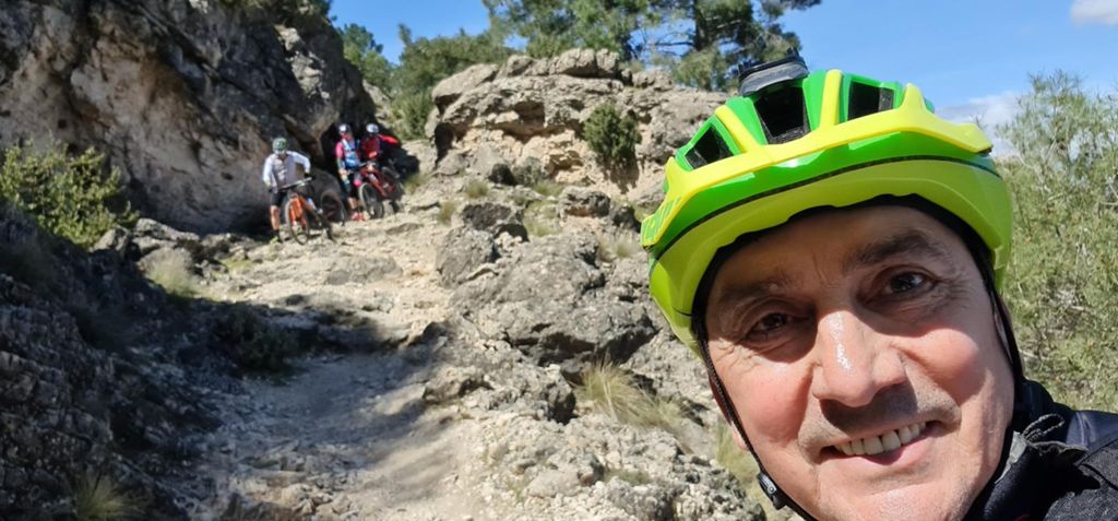
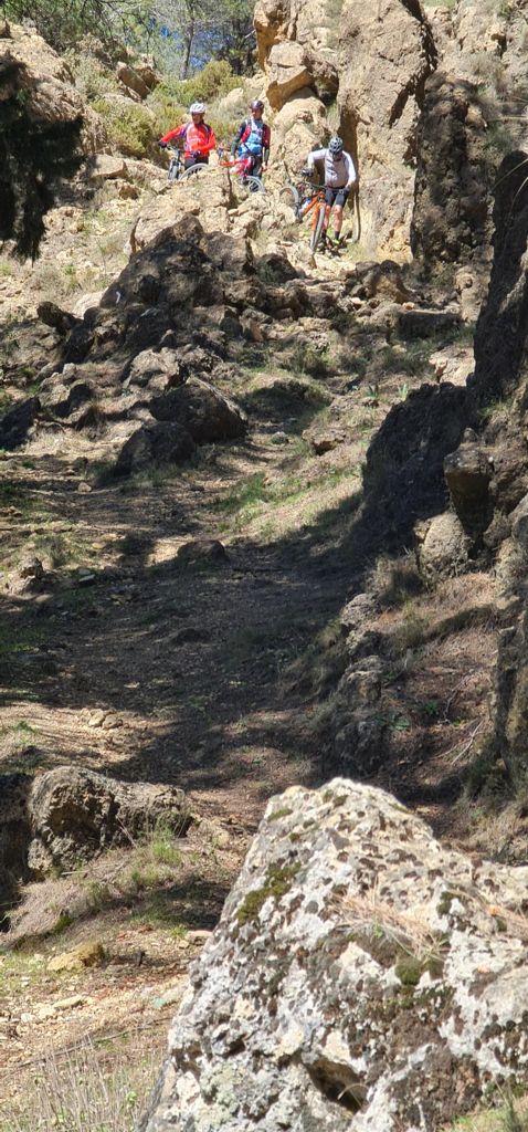
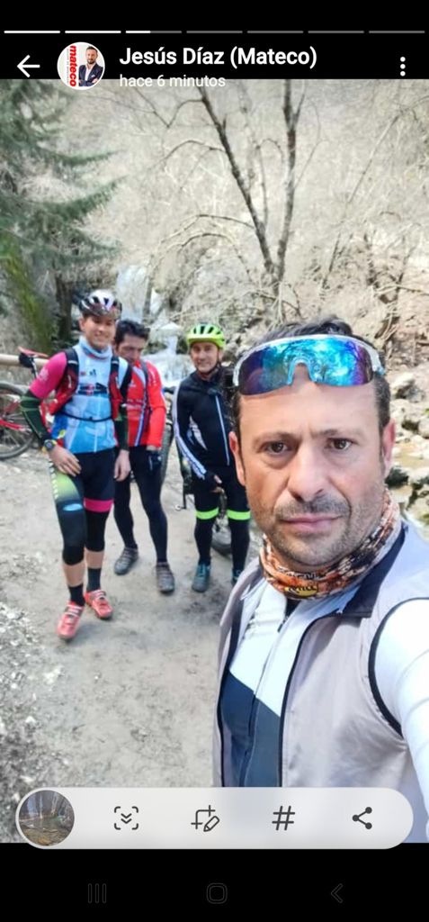
Cazorla - Nacimiento del Guadalquivir - Cazorla
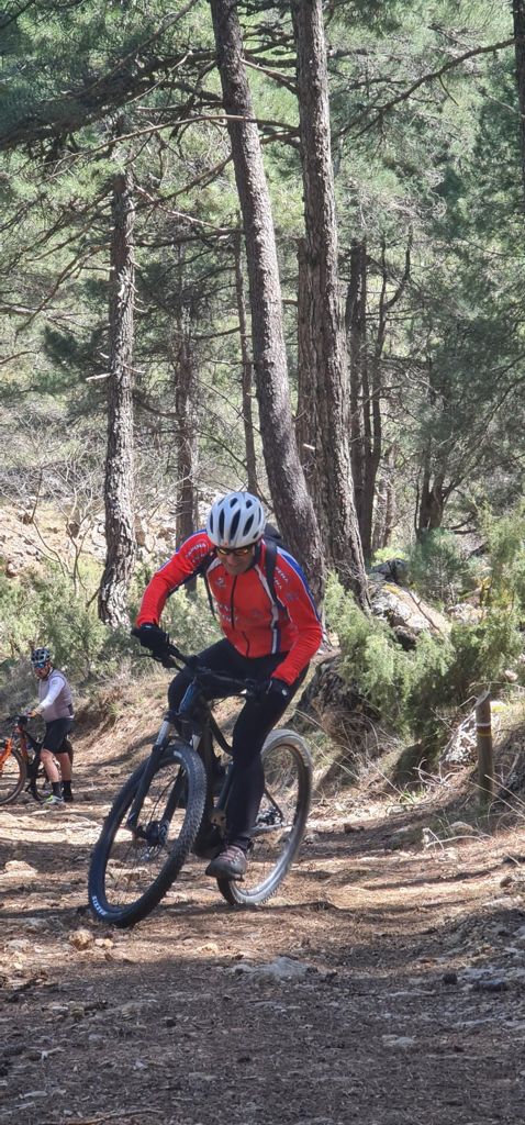
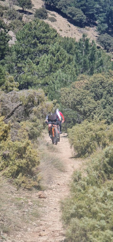
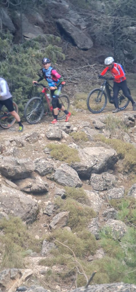
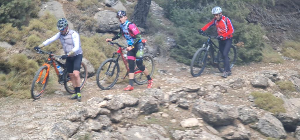
MTB
MTB
Ref..: 1036442
Published: 09/04/2022
Performed: 09/04/2022
Distance in Km: 46.96
Climb in m: 1722
IBP: 145 BYC

buli_alonso
Author: buli_alonso
529 published routes

Add to my Group or Club

 Height in m      Climb in %      Speed in Km/h      Speed < 2 Km/h

Climbs > 5%

Climbs >5% Climbs >10% Climbs >15% Climbs >20% Climbs >25%
 Steep slope of 237 m.   Average slope  Distances  Download as waypoint
1
 Km 0.096  9%  35 m
2
 Km 0.131  17%  37 m
3
 Km 0.168  23%  101 m
4
 Km 0.269  27%  32 m
5
 Km 0.3  6%  32 m
 Steep slope of 142 m.  Average slope  Distances  Download as waypoint
6
 Km 0.553  11%  142 m
 Steep slope of 200 m.  Average slope  Distances  Download as waypoint
7
 Km 1.222  6%  200 m
 Steep slope of 142 m.  Average slope  Distances  Download as waypoint
8
 Km 1.526  7%  142 m
 Steep slope of 300 m.  Average slope  Distances  Download as waypoint
9
 Km 2.448  10%  300 m
 Steep slope of 434 m.  Average slope  Distances  Download as waypoint
10
 Km 2.889  15%  133 m
11
 Km 3.022  16%  238 m
12
 Km 3.26  9%  63 m
 Steep slope of 826 m.  Average slope  Distances  Download as waypoint
13
 Km 3.42  8%  34 m
14
 Km 3.454  14%  32 m
15
 Km 3.486  16%  128 m
16
 Km 3.614  18%  94 m
17
 Km 3.708  16%  202 m
18
 Km 3.91  16%  206 m
19
 Km 4.116  13%  130 m
 Steep slope of 1189 m.  Average slope  Distances  Download as waypoint
20
 Km 4.625  8%  137 m
21
 Km 4.762  13%  414 m
22
 Km 5.176  15%  189 m
23
 Km 5.365  16%  65 m
24
 Km 5.43  11%  186 m
25
 Km 5.615  10%  96 m
26
 Km 5.711  6%  102 m
 Steep slope of 1019 m.  Average slope  Distances  Download as waypoint
27
 Km 6.572  13%  260 m
28
 Km 6.832  10%  97 m
29
 Km 6.929  12%  431 m
30
 Km 7.36  12%  101 m
31
 Km 7.461  11%  95 m
32
 Km 7.557  11%  35 m
 Steep slope of 833 m.  Average slope  Distances  Download as waypoint
33
 Km 7.698  11%  171 m
34
 Km 7.869  7%  98 m
35
 Km 7.967  7%  77 m
36
 Km 8.043  12%  201 m
37
 Km 8.244  11%  98 m
38
 Km 8.342  12%  157 m
39
 Km 8.499  12%  31 m
 Steep slope of 105 m.  Average slope  Distances  Download as waypoint
40
 Km 10.65  6%  105 m
 Steep slope of 411 m.  Average slope  Distances  Download as waypoint
41
 Km 11.386  6%  411 m
 Steep slope of 168 m.  Average slope  Distances  Download as waypoint
42
 Km 12.388  7%  168 m
 Steep slope of 1333 m.  Average slope  Distances  Download as waypoint
43
 Km 14.717  7%  1333 m
 Steep slope of 198 m.  Average slope  Distances  Download as waypoint
44
 Km 16.151  9%  33 m
45
 Km 16.184  13%  132 m
46
 Km 16.316  5%  33 m
 Steep slope of 1350 m.  Average slope  Distances  Download as waypoint
47
 Km 16.446  7%  1350 m
 Steep slope of 198 m.  Average slope  Distances  Download as waypoint
48
 Km 18.091  6%  198 m
 Steep slope of 145 m.  Average slope  Distances  Download as waypoint
49
 Km 23.328  6%  145 m
 Steep slope of 101 m.  Average slope  Distances  Download as waypoint
50
 Km 23.572  7%  101 m
 Steep slope of 197 m.  Average slope  Distances  Download as waypoint
51
 Km 30.661  5%  197 m
 Steep slope of 1834 m.  Average slope  Distances  Download as waypoint
52
 Km 31.143  7%  134 m
53
 Km 31.277  7%  495 m
54
 Km 31.772  10%  155 m
55
 Km 31.927  9%  135 m
56
 Km 32.063  12%  143 m
57
 Km 32.205  12%  245 m
58
 Km 32.45  18%  462 m
59
 Km 32.912  16%  65 m
 Steep slope of 234 m.  Average slope  Distances  Download as waypoint
60
 Km 33.292  7%  234 m
 Steep slope of 123 m.  Average slope  Distances  Download as waypoint
61
 Km 33.626  6%  123 m
 Steep slope of 805 m.  Average slope  Distances  Download as waypoint
62
 Km 33.882  9%  197 m
63
 Km 34.079  11%  279 m
64
 Km 34.357  18%  63 m
65
 Km 34.42  28%  165 m
66
 Km 34.585  28%  33 m
67
 Km 34.619  23%  34 m
68
 Km 34.653  5%  34 m
 Steep slope of 203 m.  Average slope  Distances  Download as waypoint
69
 Km 34.805  8%  203 m
 Steep slope of 98 m.  Average slope  Distances  Download as waypoint
70
 Km 35.315  8%  98 m
 Steep slope of 277 m.  Average slope  Distances  Download as waypoint
71
 Km 35.637  6%  277 m
 Steep slope of 125 m.  Average slope  Distances  Download as waypoint
72
 Km 37.452  5%  125 m
 Steep slope of 164 m.  Average slope  Distances  Download as waypoint
73
 Km 37.714  8%  164 m
 Steep slope of 135 m.  Average slope  Distances  Download as waypoint
74
 Km 44.975  7%  135 m
 Steep slope of 364 m.  Average slope  Distances  Download as waypoint
75
 Km 45.227  8%  364 m


Description of the route


Presence of ramps


 Climbs  Distance  % of the total  Speed  Your speed would be  Time  Your time would be
   15 - 30%  2.112  4.5  4.59  ?  0:27:35  ?
   10 - 15%  4.26  9.07  6  ?  0:42:34  ?
   5 - 10%  8.405  17.9  8.37  ?  1:00:15  ?
   1 - 5%  6.711  14.29  11.38  ?  0:35:23  ?
   Total*  21.487 Km  45.76 %  7.78 Km/h  ? Km/h    2:45:47 h  ? h  
 Flat
   1 - -1%  4.137 Km  8.81 %  11.21 Km/h  ? Km/h    0:22:08 h  ? h  
 Descents
   -1 - -5%  8.041  17.12  21.8  ?  0:22:08  ?
   -5 - -10%  7.295  15.53  16.86  ?  0:25:58  ?
   -10 - -15%  3.251  6.92  14.87  ?  0:13:07  ?
   -15 - -30%  2.748  5.85  8.8  ?  0:18:44  ?
   Total*  21.335 Km  45.43 %  16.01 Km/h  ? Km/h    1:19:57 h  ? h  
* The total has not necessarily coincide with the sum of the partials after correction of errors

How long would it take you?

How long would it take you to cover this route?
There are routes without a valid time information, but with your average stats you can assess the possible duration

buli_alonso to cover this route you've need a time of:   4:27:52 h 
If you sign in and have a minimum of two tracks of this same modality, you can know your time for this route, calculated from your stats..


¿Cuanto consumirá tu E-BIKE?

Entra tu E-IBP (formato n,nn)

E-IBP :   X 145 = 


 Detected activity type =  ()
 Penalization due to track conditions: 72 %   ( > 50 % = MTB, < 50 % = RDB)
 Reliability of the track: B   (1724/71/0/-/-/71)
 Correction level applied to the track: 0
DIFFICULTY OF THE ROUTE
IBP = 145 BYC
According to your statistics
 Your time in motion would be: ? h
Your average speed would be: ? Km/h
 

 Total Distance: 46.96 Km
 Analysed distance: 46.96 Km
 Linear distance: 0.05 Km

 Cumulated positive ramps: 1721.93 m  list of points info
 Cumulated negative ramps: 1707.74 m
 Maximum height: 1563 m
 Minimum height: 725.4 m
 Climbing Ratio: 8.01 %
 Descent ratio: 8 %
 Cumulated postive ramps per Km: 36.67 m
 Cumulated negative ramps per Km: 36.37 m

 Total time: 6:23:49 h
 Time in movement: 4:27:52 h
 According to your statistics
 Your time in motion would be: ? h  
 Stopped time: 1:55:57 h
 Maximum slope filter: ~30 %
 Minimum separation analysed: ~30 m
 Number of points: 3560   (cad. 13.19 m)
 Significant waypoints: 1270   (cad. 36.98 m / 35.67 %)

 Changes in direction per Km: 11.29
 Changes in direction > 5º por Km: 8.9
 Cumulated straight stretches: 5.499 Km
 Straight stretches per Km: 117.1 m
 Penalized slope changes: 12
 Penalized slope changes per Km: 0.256

 Average speed in total: 7.34 Km/h
 Average speed while moving: 10.52 Km/h
 According to your statistics
 Your average speed would be: ? Km/h  
 Maximum sustained speed: 68.05 Km/h


Comments

You can be the first one in commenting this route

 
My comments
:
Add comment  (Registered users)
 
Notify me answers to my comment  Do not notify answers to my comment


Share this route with a friend

Your friend will receive a message with a link to this page:
will see your email and your user name if you do it as registered user.


Write here your name (optional)

E-mail address of your friend(s). You can include various addresses separated by commas

Text or comment (optional) maximum 255 characters long, 255 Available characters

As a non registered users you need to fill-in the captcha text.
  Change image
Type the image characters.
 
 Share with a friend


Visited history

Delete history

Marked routes for review later or compare

My favorites


  Notify anomaly in this route Share in Facebook