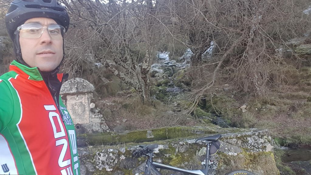
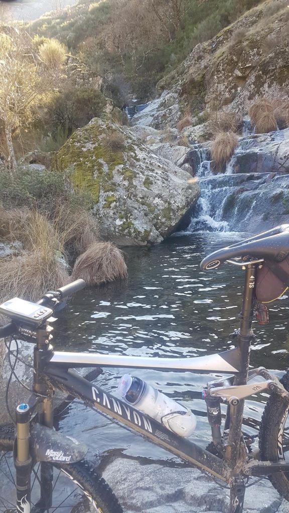
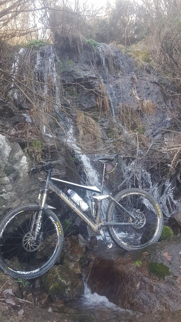
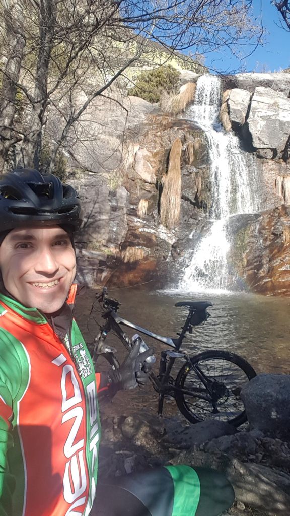
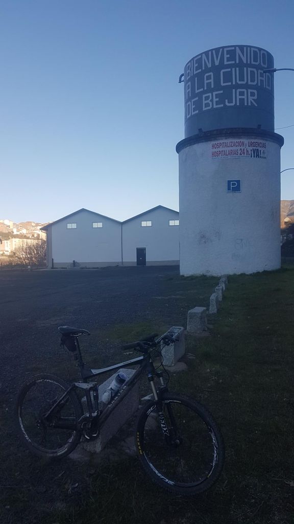
Pista Heidi,Chorrera del Forero y Via Verde hasta Bejar

Road
Ref..: 1020846
Published: 21/01/2022
Performed: 20/01/2022
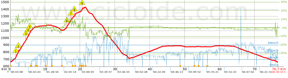
Distance in Km: 76.73
Climb in m: 1060
IBP: 77 BYC
 View on STRAVA
Near ...
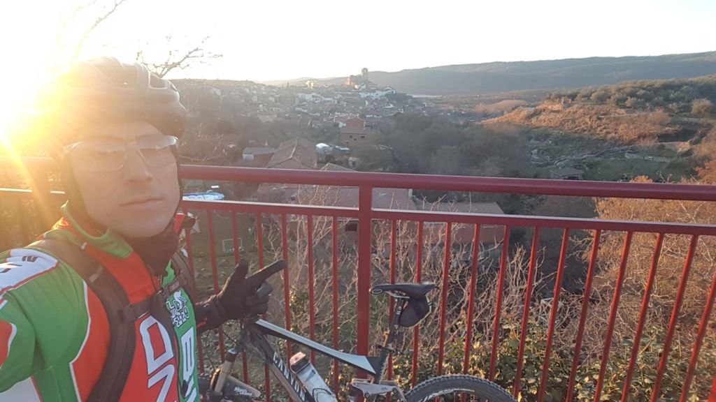
Hervas
Hervas


 list of points info

