Una buena mano de barniz a las ca˝as

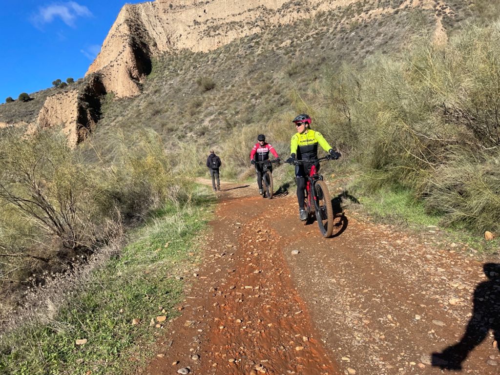
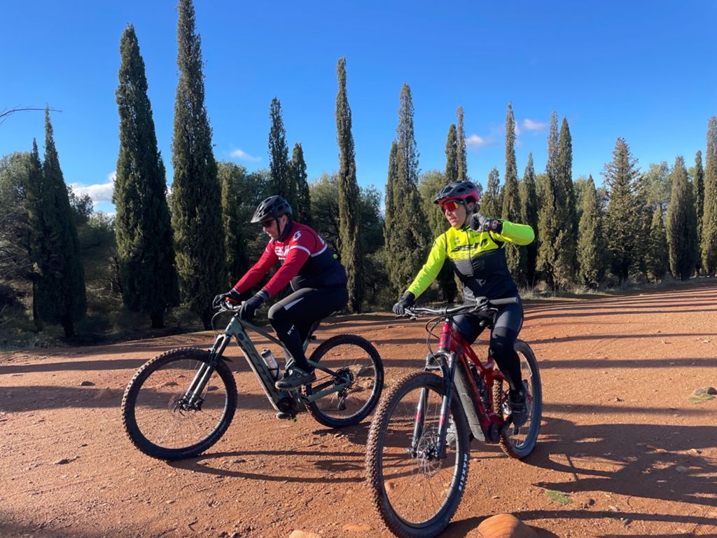
MTB
Ref..: 1018788
Published: 09/01/2022
Performed: 06/01/2022
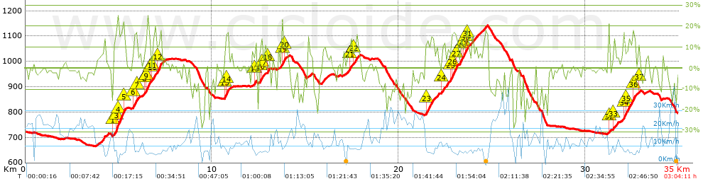
Distance in Km: 35
Climb in m: 1267
IBP: 127 BYC
 View on STRAVA
Near ...
Barrio De La Vega, Barrio De Monachil, Cajar, Huetor Vega
Barrio De La Vega, Barrio De Monachil, Cajar, Huetor Vega


 list of points info

