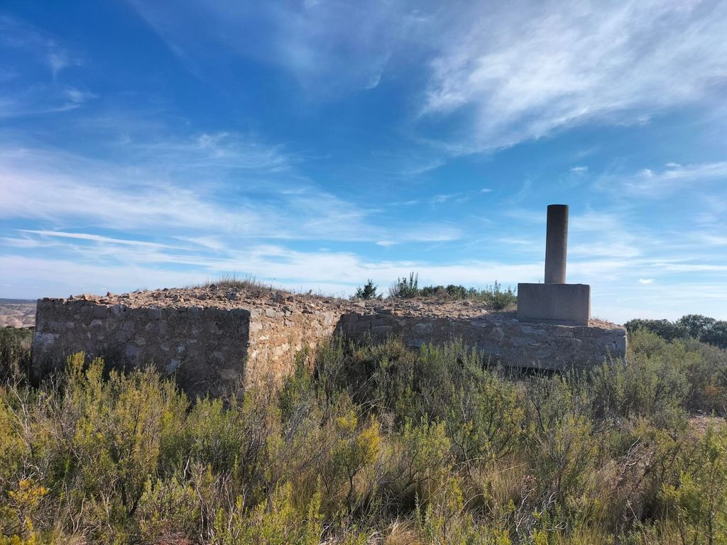
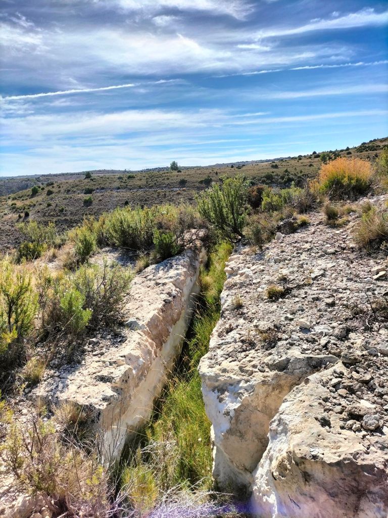
Vértices Ataque, Corona del Fraile y Parapetos

Running
Running
Ref..: 999868
Published: 06/10/2021
Performed: 06/10/2021
Distance in Km: 23
Climb in m: 553
IBP: 127 RNG


 Height in m      Climb in %      Speed in Km/h      Speed < 2 Km/h

Climbs > 5%

Climbs >5% Climbs >10% Climbs >15% Climbs >20% Climbs >25%
 Steep slope of 453 m.   Average slope  Distances  Download as waypoint
1
 Km 0.034  8%  150 m
2
 Km 0.184  11%  111 m
3
 Km 0.296  8%  192 m
 Steep slope of 295 m.  Average slope  Distances  Download as waypoint
4
 Km 1.358  8%  230 m
5
 Km 1.589  20%  65 m
 Steep slope of 150 m.  Average slope  Distances  Download as waypoint
6
 Km 1.687  5%  150 m
 Steep slope of 138 m.  Average slope  Distances  Download as waypoint
7
 Km 1.976  10%  105 m
8
 Km 2.08  11%  33 m
 Steep slope of 142 m.  Average slope  Distances  Download as waypoint
9
 Km 2.333  10%  142 m
 Steep slope of 185 m.  Average slope  Distances  Download as waypoint
10
 Km 3.485  6%  37 m
11
 Km 3.522  15%  148 m
 Steep slope of 521 m.  Average slope  Distances  Download as waypoint
12
 Km 6.656  7%  225 m
13
 Km 6.881  11%  109 m
14
 Km 6.99  6%  187 m
 Steep slope of 305 m.  Average slope  Distances  Download as waypoint
15
 Km 7.845  7%  305 m
 Steep slope of 108 m.  Average slope  Distances  Download as waypoint
16
 Km 10.636  6%  108 m
 Steep slope of 205 m.  Average slope  Distances  Download as waypoint
17
 Km 11.919  6%  205 m
 Steep slope of 103 m.  Average slope  Distances  Download as waypoint
18
 Km 12.346  9%  103 m
 Steep slope of 353 m.  Average slope  Distances  Download as waypoint
19
 Km 15.576  5%  246 m
20
 Km 15.821  14%  38 m
21
 Km 15.859  19%  69 m
 Steep slope of 30 m.  Average slope  Distances  Download as waypoint
22
 Km 15.959  13%  30 m
 Steep slope of 519 m.  Average slope  Distances  Download as waypoint
23
 Km 17.434  11%  36 m
24
 Km 17.469  20%  112 m
25
 Km 17.581  6%  136 m
26
 Km 17.717  12%  102 m
27
 Km 17.819  16%  133 m
 Steep slope of 109 m.  Average slope  Distances  Download as waypoint
28
 Km 18.956  19%  109 m


Description of the route


Presence of ramps


 Climbs  Distance  % of the total  Speed  Your speed would be  Time  Your time would be
   15 - 30%  0.601  2.61  3.66  ?  0:09:51  ?
   10 - 15%  0.797  3.47  4.26  ?  0:11:14  ?
   5 - 10%  2.397  10.42  6.13  ?  0:23:29  ?
   1 - 5%  5.879  25.56  7.04  ?  0:50:07  ?
   Total*  9.674 Km  42.06 %  6.13 Km/h  ? Km/h    1:34:41 h  ? h  
 Flat
   1 - -1%  3.46 Km  15.05 %  7.91 Km/h  ? Km/h    0:26:15 h  ? h  
 Descents
   -1 - -5%  5.849  25.43  7.78  ?  0:45:06  ?
   -5 - -10%  2.593  11.28  7.53  ?  0:20:40  ?
   -10 - -15%  0.868  3.77  5.81  ?  0:08:58  ?
   -15 - -30%  0.553  2.41  5.34  ?  0:06:13  ?
   Total*  9.864 Km  42.89 %  7.31 Km/h  ? Km/h    1:20:57 h  ? h  
* The total has not necessarily coincide with the sum of the partials after correction of errors

How long would it take you?

How long would it take you to cover this route?
There are routes without a valid time information, but with your average stats you can assess the possible duration

Roberto Rodrigo Perez to cover this route you've need a time of:   3:21:53 h 
If you sign in and have a minimum of two tracks of this same modality, you can know your time for this route, calculated from your stats..


 Detected activity type =  ()
 Penalization due to track conditions: 0 %   ( > 50 % = MTB, < 50 % = RDB)
 Reliability of the track: B   (553/59/0/-/-/59)
 Correction level applied to the track: 0
DIFFICULTY OF THE ROUTE
IBP = 127 RNG
According to your statistics
 Your time in motion would be: ? h
Your average speed would be: ? Km/h
 

 Total Distance: 23 Km
 Analysed distance: 23 Km
 Linear distance: 0.01 Km

 Cumulated positive ramps: 553 m  list of points info
 Cumulated negative ramps: 549.8 m
 Maximum height: 742.2 m
 Minimum height: 499.1 m
 Climbing Ratio: 5.72 %
 Descent ratio: 5.57 %
 Cumulated postive ramps per Km: 24.04 m
 Cumulated negative ramps per Km: 23.9 m

 Total time: 3:35:52 h
 Time in movement: 3:21:53 h
 According to your statistics
 Your time in motion would be: ? h  
 Stopped time: 0:13:59 h
 Maximum slope filter: ~55 %
 Minimum separation analysed: ~30 m
 Number of points: 1457   (cad. 15.78 m)
 Significant waypoints: 637   (cad. 36.1 m / 43.72 %)

 Changes in direction per Km: 12.96
 Changes in direction > 5º por Km: 9.48
 Cumulated straight stretches: 2.732 Km
 Straight stretches per Km: 118.78 m
 Penalized slope changes: 7
 Penalized slope changes per Km: 0.304

 Average speed in total: 6.39 Km/h
 Average speed while moving: 6.84 Km/h
 According to your statistics
 Your average speed would be: ? Km/h  
 Maximum sustained speed: 13.09 Km/h


Comments

You can be the first one in commenting this route

 
My comments
:
Add comment  (Registered users)
 
Notify me answers to my comment  Do not notify answers to my comment


Share this route with a friend

Your friend will receive a message with a link to this page:
will see your email and your user name if you do it as registered user.


Write here your name (optional)

E-mail address of your friend(s). You can include various addresses separated by commas

Text or comment (optional) maximum 255 characters long, 255 Available characters

As a non registered users you need to fill-in the captcha text.
  Change image
Type the image characters.
 
 Share with a friend


Visited history

Delete history

Marked routes for review later or compare

My favorites


  Notify anomaly in this route Share in Facebook