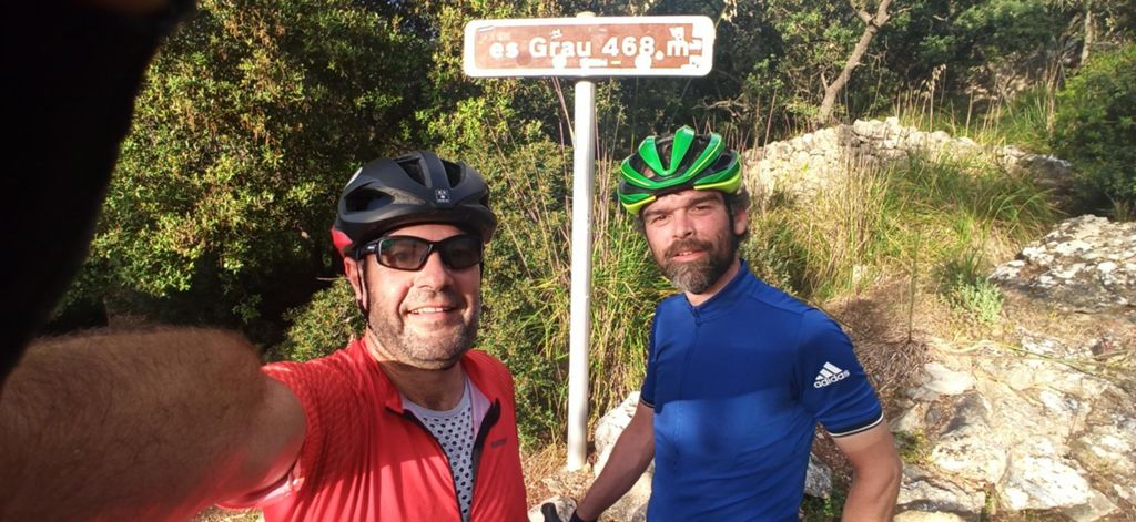
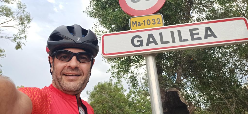
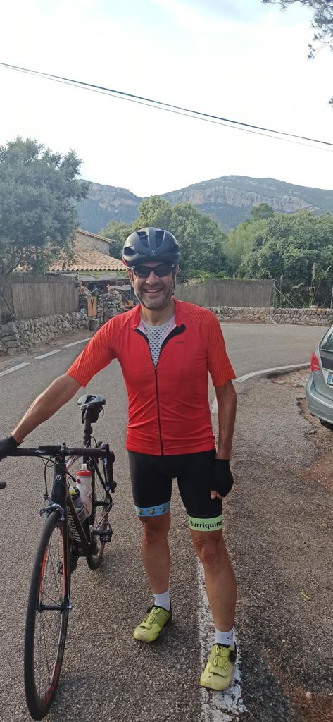
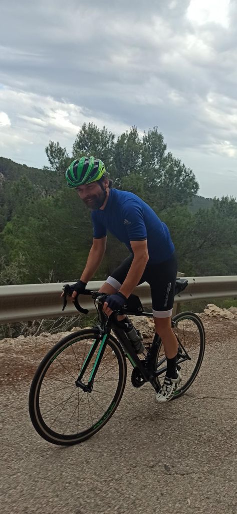
Primera salida por la isla con el cuñao

Road
Road
Ref..: 966775
Published: 02/06/2021
Performed: 01/06/2021
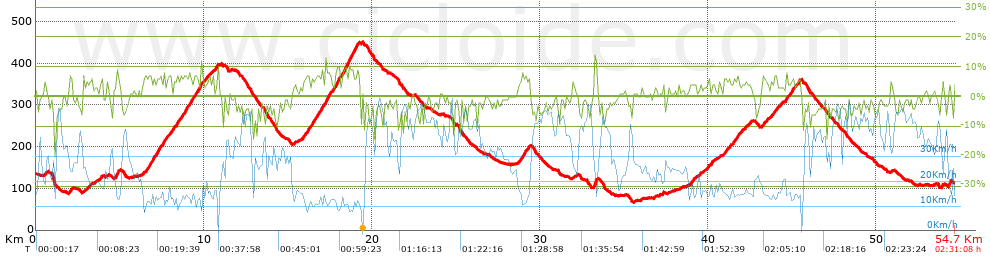
Distance in Km: 54.66
Climb in m: 1044
IBP: 62 BYC


 Height in m      Climb in %      Speed in Km/h      Speed < 2 Km/h

Climbs > 5%

Climbs >5% Climbs >10% Climbs >15% Climbs >20% Climbs >25%
 Steep slope of 197 m.   Average slope  Distances  Download as waypoint
1
 Km 2.013  7%  197 m
 Steep slope of 219 m.  Average slope  Distances  Download as waypoint
2
 Km 4.797  7%  219 m
 Steep slope of 444 m.  Average slope  Distances  Download as waypoint
3
 Km 6.388  6%  444 m
 Steep slope of 466 m.  Average slope  Distances  Download as waypoint
4
 Km 6.979  7%  466 m
 Steep slope of 330 m.  Average slope  Distances  Download as waypoint
5
 Km 7.553  6%  330 m
 Steep slope of 364 m.  Average slope  Distances  Download as waypoint
6
 Km 8.023  6%  364 m
 Steep slope of 1029 m.  Average slope  Distances  Download as waypoint
7
 Km 8.644  7%  1029 m
 Steep slope of 173 m.  Average slope  Distances  Download as waypoint
8
 Km 9.781  8%  173 m
 Steep slope of 150 m.  Average slope  Distances  Download as waypoint
9
 Km 10.653  5%  150 m
 Steep slope of 351 m.  Average slope  Distances  Download as waypoint
10
 Km 15.911  6%  351 m
 Steep slope of 475 m.  Average slope  Distances  Download as waypoint
11
 Km 16.368  7%  475 m
 Steep slope of 566 m.  Average slope  Distances  Download as waypoint
12
 Km 16.948  7%  566 m
 Steep slope of 1595 m.  Average slope  Distances  Download as waypoint
13
 Km 17.66  6%  276 m
14
 Km 17.936  10%  106 m
15
 Km 18.042  5%  143 m
16
 Km 18.185  8%  1070 m
 Steep slope of 462 m.  Average slope  Distances  Download as waypoint
17
 Km 28.898  6%  462 m
 Steep slope of 184 m.  Average slope  Distances  Download as waypoint
18
 Km 33.217  12%  106 m
19
 Km 33.323  10%  78 m
 Steep slope of 109 m.  Average slope  Distances  Download as waypoint
20
 Km 40.009  6%  109 m
 Steep slope of 154 m.  Average slope  Distances  Download as waypoint
21
 Km 41.108  5%  154 m
 Steep slope of 384 m.  Average slope  Distances  Download as waypoint
22
 Km 41.498  6%  384 m
 Steep slope of 243 m.  Average slope  Distances  Download as waypoint
23
 Km 43.215  5%  243 m
 Steep slope of 264 m.  Average slope  Distances  Download as waypoint
24
 Km 43.865  6%  264 m
 Steep slope of 232 m.  Average slope  Distances  Download as waypoint
25
 Km 44.552  6%  232 m
 Steep slope of 265 m.  Average slope  Distances  Download as waypoint
26
 Km 44.898  6%  265 m
 Steep slope of 189 m.  Average slope  Distances  Download as waypoint
27
 Km 45.277  6%  189 m
 Steep slope of 102 m.  Average slope  Distances  Download as waypoint
28
 Km 53.883  6%  102 m
 Steep slope of 112 m.  Average slope  Distances  Download as waypoint
29
 Km 54.257  6%  112 m


Description of the route


Presence of ramps


 Climbs  Distance  % of the total  Speed  Your speed would be  Time  Your time would be
   15 - 30%  0.046  0.08  2.54  ?  0:01:05  ?
   10 - 15%  0.617  1.13  11.93  ?  0:03:06  ?
   5 - 10%  9.42  17.23  13.43  ?  0:42:05  ?
   1 - 5%  11.247  20.57  19.1  ?  0:35:20  ?
   Total*  21.329 Km  39.02 %  15.68 Km/h  ? Km/h    1:21:36 h  ? h  
 Flat
   1 - -1%  8.819 Km  16.13 %  28.19 Km/h  ? Km/h    0:18:46 h  ? h  
 Descents
   -1 - -5%  16.537  30.25  37.75  ?  0:26:17  ?
   -5 - -10%  7.034  12.87  37.29  ?  0:11:19  ?
   -10 - -15%  0.833  1.52  28.01  ?  0:01:47  ?
   -15 - -30%  0.113  0.21  16.91  ?  0:00:24  ?
   Total*  24.516 Km  44.85 %  36.97 Km/h  ? Km/h    0:39:47 h  ? h  
* The total has not necessarily coincide with the sum of the partials after correction of errors

How long would it take you?

How long would it take you to cover this route?
There are routes without a valid time information, but with your average stats you can assess the possible duration

Alfonso Puñal to cover this route you've need a time of:   2:20:09 h 
If you sign in and have a minimum of two tracks of this same modality, you can know your time for this route, calculated from your stats..


¿Cuanto consumirá tu E-BIKE?

Entra tu E-IBP (formato n,nn)

E-IBP :   X 62 = 


 Detected activity type =  ()
 Penalization due to track conditions: 54 %   ( > 50 % = MTB, < 50 % = RDB)
 Reliability of the track: A   (1043/82/0/-/-/82)
 Correction level applied to the track: 0
DIFFICULTY OF THE ROUTE
IBP = 62 BYC
According to your statistics
 Your time in motion would be: ? h
Your average speed would be: ? Km/h
 

 Total Distance: 54.66 Km
 Analysed distance: 54.66 Km
 Linear distance: 0.04 Km

 Cumulated positive ramps: 1043.8 m  list of points info
 Cumulated negative ramps: 1062.4 m
 Maximum height: 451 m
 Minimum height: 67.2 m
 Climbing Ratio: 4.89 %
 Descent ratio: 4.33 %
 Cumulated postive ramps per Km: 19.1 m
 Cumulated negative ramps per Km: 19.44 m

 Total time: 2:31:08 h
 Time in movement: 2:20:09 h
 According to your statistics
 Your time in motion would be: ? h  
 Stopped time: 0:10:59 h
 Maximum slope filter: ~30 %
 Minimum separation analysed: ~30 m
 Number of points: 4185   (cad. 13.06 m)
 Significant waypoints: 1513   (cad. 36.13 m / 36.15 %)

 Changes in direction per Km: 9.06
 Changes in direction > 5º por Km: 5.87
 Cumulated straight stretches: 15.312 Km
 Straight stretches per Km: 280.13 m
 Penalized slope changes: 8
 Penalized slope changes per Km: 0.146

 Average speed in total: 21.7 Km/h
 Average speed while moving: 23.4 Km/h
 According to your statistics
 Your average speed would be: ? Km/h  
 Maximum sustained speed: 56.58 Km/h


Comments

You can be the first one in commenting this route

 
My comments
:
Add comment  (Registered users)
 
Notify me answers to my comment  Do not notify answers to my comment


Share this route with a friend

Your friend will receive a message with a link to this page:
will see your email and your user name if you do it as registered user.


Write here your name (optional)

E-mail address of your friend(s). You can include various addresses separated by commas

Text or comment (optional) maximum 255 characters long, 255 Available characters

As a non registered users you need to fill-in the captcha text.
  Change image
Type the image characters.
 
 Share with a friend


Visited history

Delete history

Marked routes for review later or compare

My favorites


  Notify anomaly in this route Share in Facebook