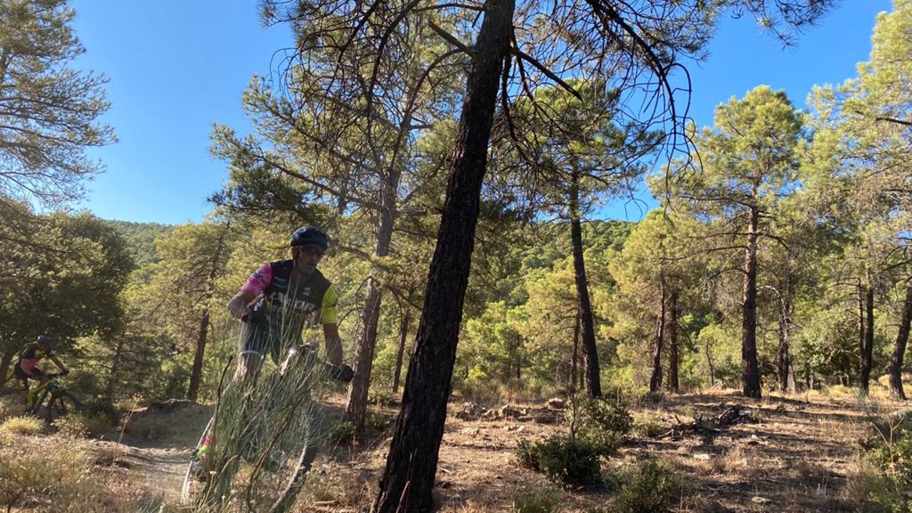
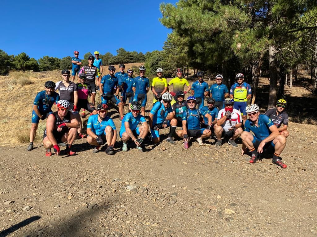
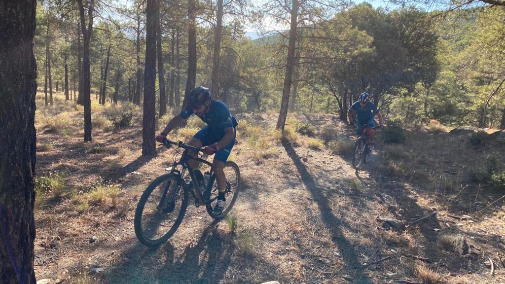
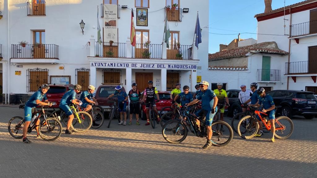
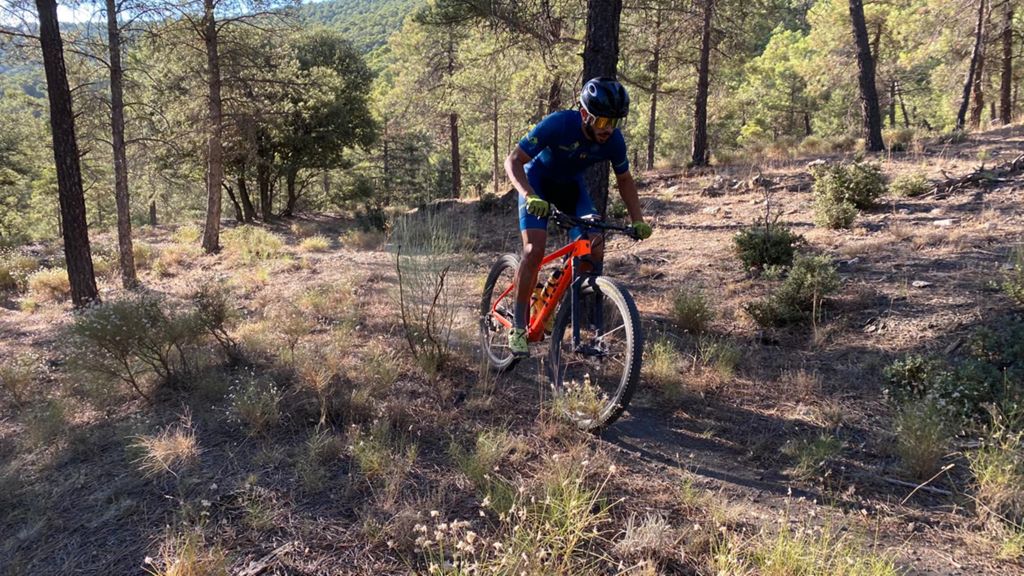
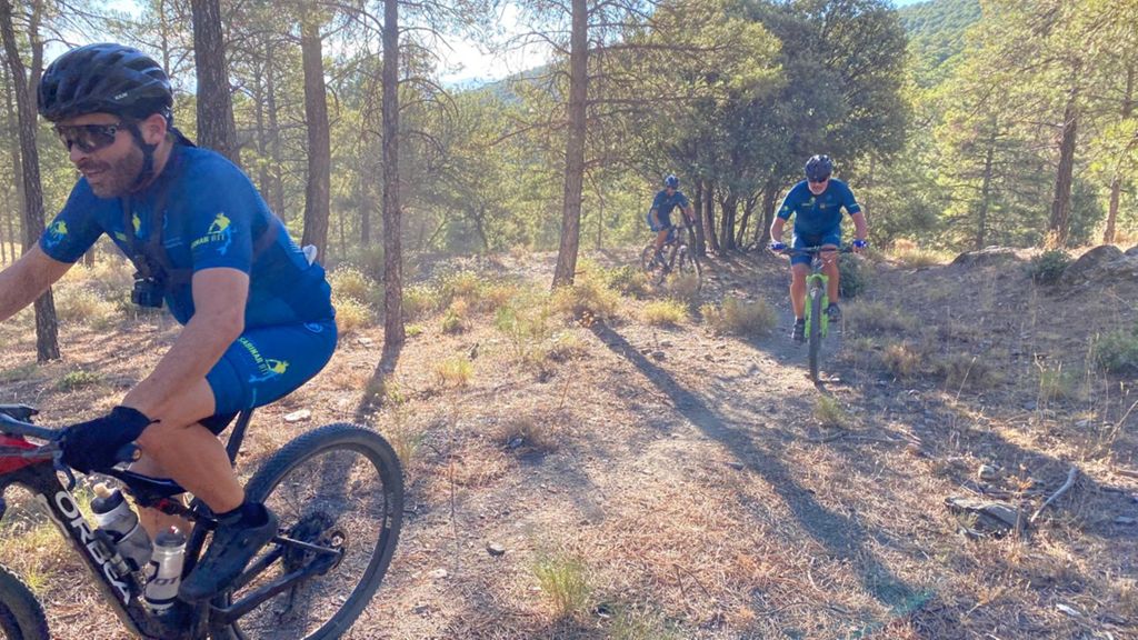
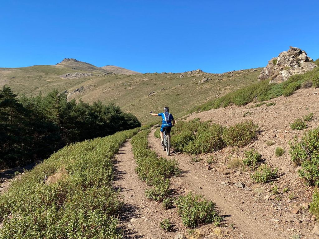
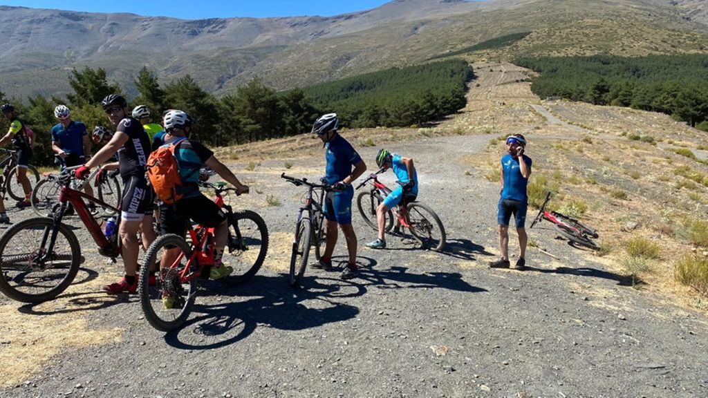
Sierra Nevada 20. Jérez con Btt Sabinar

MTB
MTB
Ref..: 895323
Published: 16/08/2020
Performed: 16/08/2020
Distance in Km: 49.13
Climb in m: 1657
IBP: 148 BYC

silvesterbike
396 published routes

Add to my Group or Club

 Height in m      Climb in %      Speed in Km/h      Speed < 2 Km/h

Climbs > 10%

Climbs >5% Climbs >10% Climbs >15% Climbs >20% Climbs >25%
 Steep slope of 188 m.   Average slope  Distances  Download as waypoint
1
 Km 6.003  11%  188 m
 Steep slope of 106 m.  Average slope  Distances  Download as waypoint
2
 Km 12.04  13%  106 m
 Steep slope of 473 m.  Average slope  Distances  Download as waypoint
3
 Km 12.344  15%  139 m
4
 Km 12.654  13%  111 m
5
 Km 13.044  28%  40 m
6
 Km 13.084  27%  65 m
 Steep slope of 152 m.  Average slope  Distances  Download as waypoint
7
 Km 14.529  23%  115 m
8
 Km 14.644  13%  37 m
 Steep slope of 104 m.  Average slope  Distances  Download as waypoint
9
 Km 15.61  14%  104 m
 Steep slope of 143 m.  Average slope  Distances  Download as waypoint
10
 Km 15.895  16%  143 m
 Steep slope of 154 m.  Average slope  Distances  Download as waypoint
11
 Km 16.364  15%  154 m
 Steep slope of 147 m.  Average slope  Distances  Download as waypoint
12
 Km 16.73  18%  147 m
 Steep slope of 117 m.  Average slope  Distances  Download as waypoint
13
 Km 17.13  27%  117 m
 Steep slope of 176 m.  Average slope  Distances  Download as waypoint
14
 Km 19.231  23%  146 m
15
 Km 19.376  13%  30 m
 Steep slope of 410 m.  Average slope  Distances  Download as waypoint
16
 Km 20.388  10%  174 m
17
 Km 20.949  15%  236 m
 Steep slope of 132 m.  Average slope  Distances  Download as waypoint
18
 Km 21.31  14%  132 m
 Steep slope of 146 m.  Average slope  Distances  Download as waypoint
19
 Km 21.814  13%  41 m
20
 Km 21.855  24%  105 m
 Steep slope of 128 m.  Average slope  Distances  Download as waypoint
21
 Km 22.872  19%  128 m
 Steep slope of 174 m.  Average slope  Distances  Download as waypoint
22
 Km 24.093  18%  174 m
 Steep slope of 147 m.  Average slope  Distances  Download as waypoint
23
 Km 24.905  13%  48 m
24
 Km 24.954  26%  99 m
 Steep slope of 136 m.  Average slope  Distances  Download as waypoint
25
 Km 25.398  22%  136 m
 Steep slope of 798 m.  Average slope  Distances  Download as waypoint
26
 Km 27.209  11%  42 m
27
 Km 27.25  18%  133 m
28
 Km 27.384  14%  186 m
29
 Km 27.57  16%  214 m
30
 Km 27.784  12%  74 m
31
 Km 30.185  14%  149 m
 Steep slope of 117 m.  Average slope  Distances  Download as waypoint
32
 Km 37.193  18%  117 m


Description of the route


Presence of ramps


 Climbs  Distance  % of the total  Speed  Your speed would be  Time  Your time would be
   15 - 30%  2.728  5.55  11.73  ?  0:13:57  ?
   10 - 15%  2.662  5.42  10.66  ?  0:14:59  ?
   5 - 10%  6.344  12.91  10.4  ?  0:36:35  ?
   1 - 5%  10.075  20.51  14.92  ?  0:40:31  ?
   Total*  21.808 Km  44.39 %  12.34 Km/h  ? Km/h    1:46:02 h  ? h  
 Flat
   1 - -1%  7.485 Km  15.24 %  17.66 Km/h  ? Km/h    0:25:26 h  ? h  
 Descents
   -1 - -5%  7.814  15.91  19.81  ?  0:23:40  ?
   -5 - -10%  5.672  11.54  19.98  ?  0:17:02  ?
   -10 - -15%  3.004  6.11  21.37  ?  0:08:26  ?
   -15 - -30%  3.346  6.81  16.37  ?  0:12:16  ?
   Total*  19.836 Km  40.38 %  19.38 Km/h  ? Km/h    1:01:24 h  ? h  
* The total has not necessarily coincide with the sum of the partials after correction of errors

How long would it take you?

How long would it take you to cover this route?
There are routes without a valid time information, but with your average stats you can assess the possible duration

silvesterbike to cover this route you've need a time of:   3:12:52 h 
If you sign in and have a minimum of two tracks of this same modality, you can know your time for this route, calculated from your stats..


¿Cuanto consumirá tu E-BIKE?

Entra tu E-IBP (formato n,nn)

E-IBP :   X 148 = 


 Detected activity type =  ()
 Penalization due to track conditions: 84 %   ( > 50 % = MTB, < 50 % = RDB)
 Reliability of the track: C   (1657/53/0/-/-/53)
 Correction level applied to the track: 0
DIFFICULTY OF THE ROUTE
IBP = 148 BYC
According to your statistics
 Your time in motion would be: ? h
Your average speed would be: ? Km/h
 

 Total Distance: 49.13 Km
 Analysed distance: 49.13 Km
 Linear distance: 0.1 Km

 Cumulated positive ramps: 1657.39 m  list of points info
 Cumulated negative ramps: 1643.59 m
 Maximum height: 2030 m
 Minimum height: 1193.5 m
 Climbing Ratio: 7.6 %
 Descent ratio: 8.29 %
 Cumulated postive ramps per Km: 33.73 m
 Cumulated negative ramps per Km: 33.45 m

 Total time: 4:42:19 h
 Time in movement: 3:12:52 h
 According to your statistics
 Your time in motion would be: ? h  
 Stopped time: 1:29:27 h
 Maximum slope filter: ~30 %
 Minimum separation analysed: ~30 m
 Number of points: 2447   (cad. 20.08 m)
 Significant waypoints: 1211   (cad. 40.57 m / 49.49 %)

 Changes in direction per Km: 10.01
 Changes in direction > 5º por Km: 7.82
 Cumulated straight stretches: 6.322 Km
 Straight stretches per Km: 128.68 m
 Penalized slope changes: 16
 Penalized slope changes per Km: 0.326

 Average speed in total: 10.44 Km/h
 Average speed while moving: 15.28 Km/h
 According to your statistics
 Your average speed would be: ? Km/h  
 Maximum sustained speed: 46.84 Km/h


Comments

You can be the first one in commenting this route

 
My comments
:
Add comment  (Registered users)
 
Notify me answers to my comment  Do not notify answers to my comment


Share this route with a friend

Your friend will receive a message with a link to this page:
will see your email and your user name if you do it as registered user.


Write here your name (optional)

E-mail address of your friend(s). You can include various addresses separated by commas

Text or comment (optional) maximum 255 characters long, 255 Available characters

As a non registered users you need to fill-in the captcha text.
  Change image
Type the image characters.
 
 Share with a friend


Visited history

Delete history

Marked routes for review later or compare

My favorites


  Notify anomaly in this route Share in Facebook