55 ___I e la voglia di esplorare di un ragazzino_

MTB
Ref..: 883039
Published: 02/07/2020
Performed: 02/07/2020
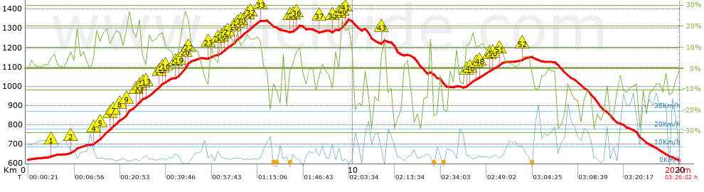
Distance in Km: 19.97
Climb in m: 1059
IBP: 133 BYC
 View on STRAVA
Near ...
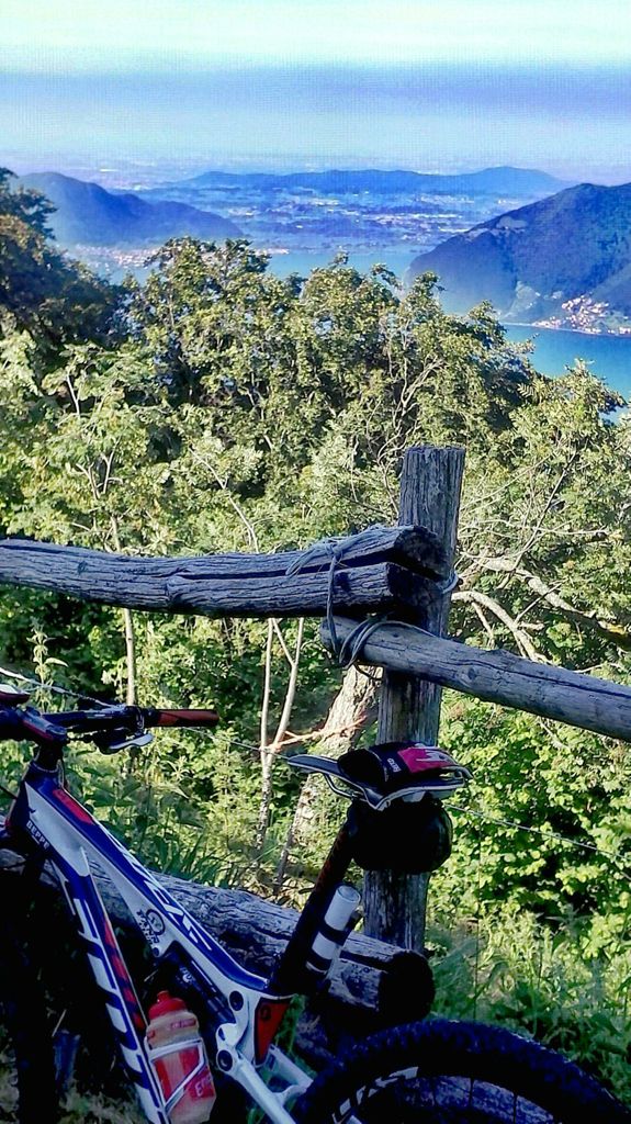
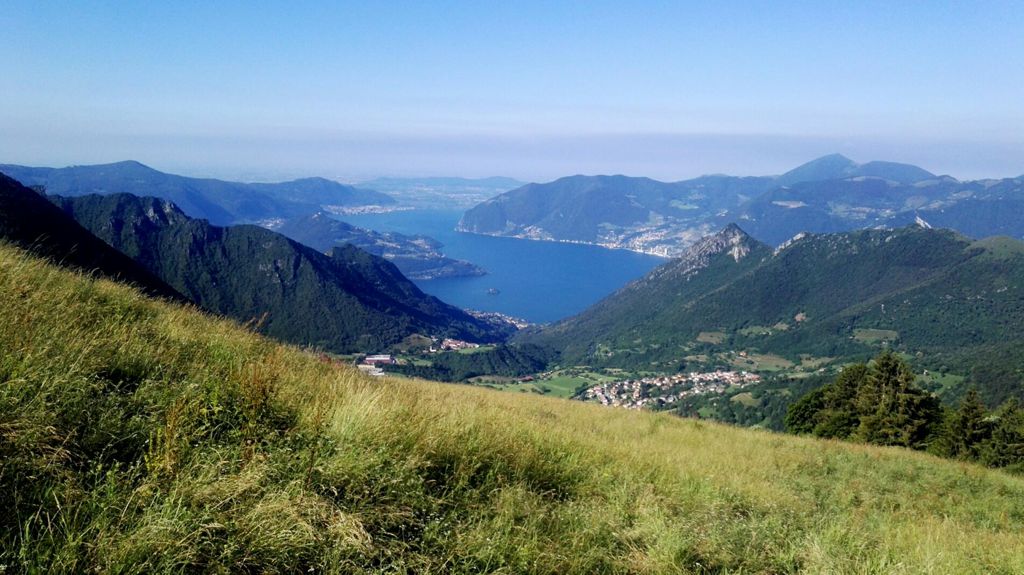
Marone, Zone
Marone, Zone


 list of points info

