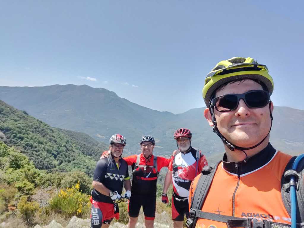
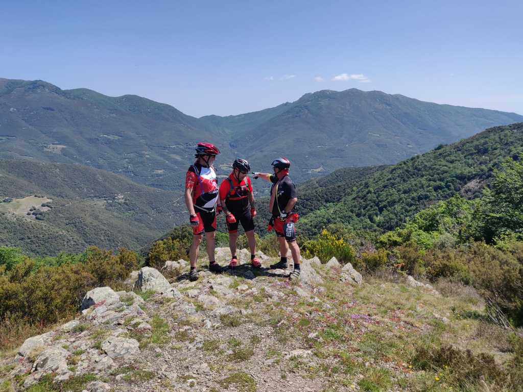
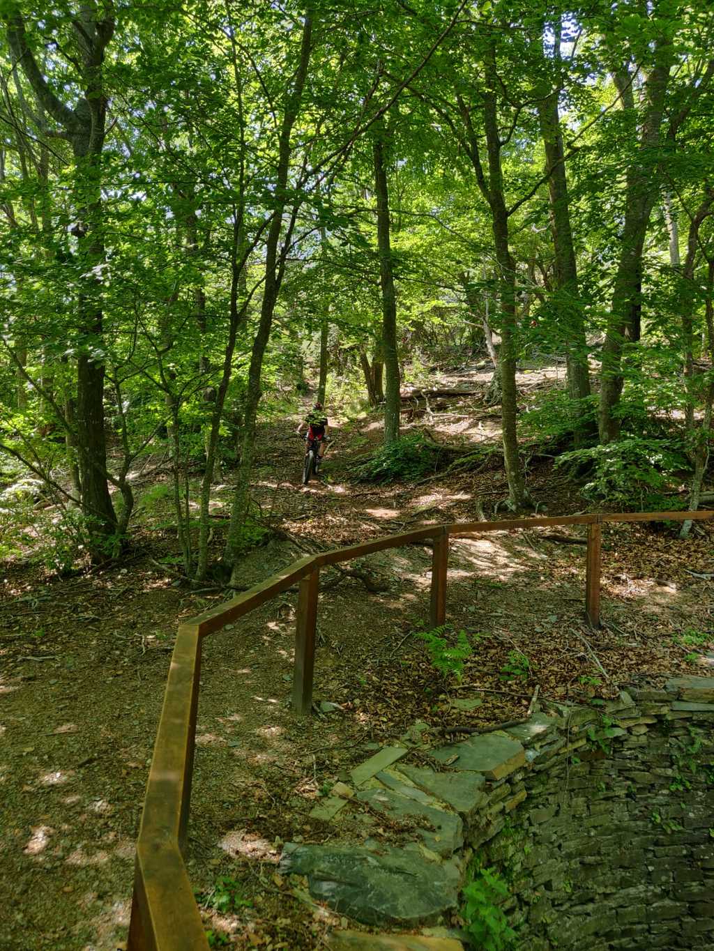
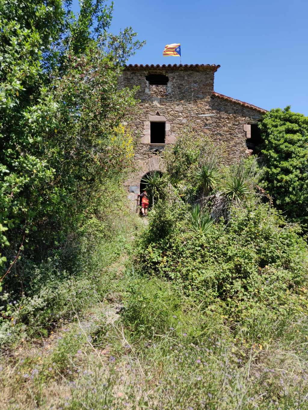
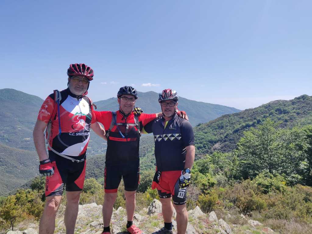
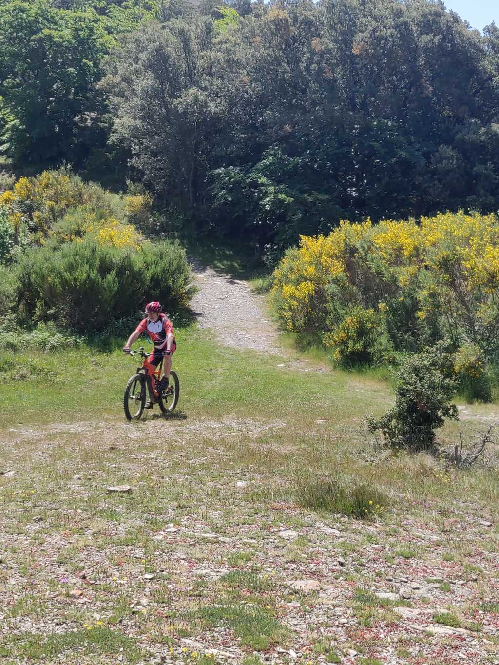
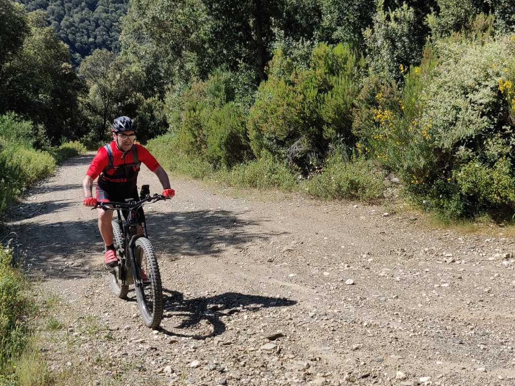
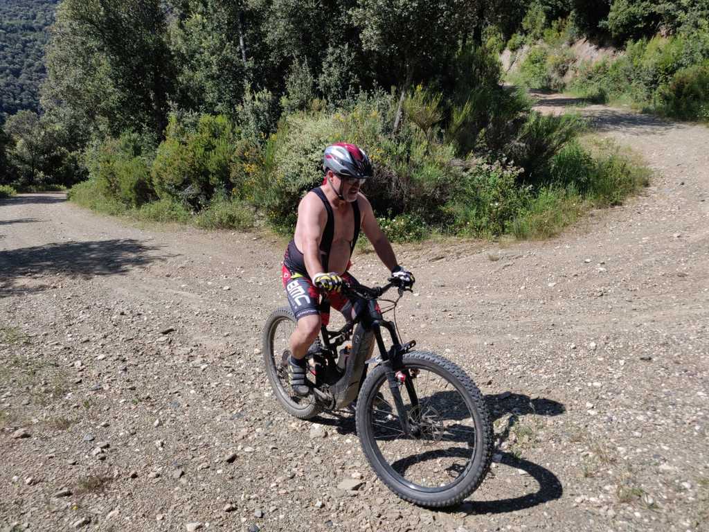
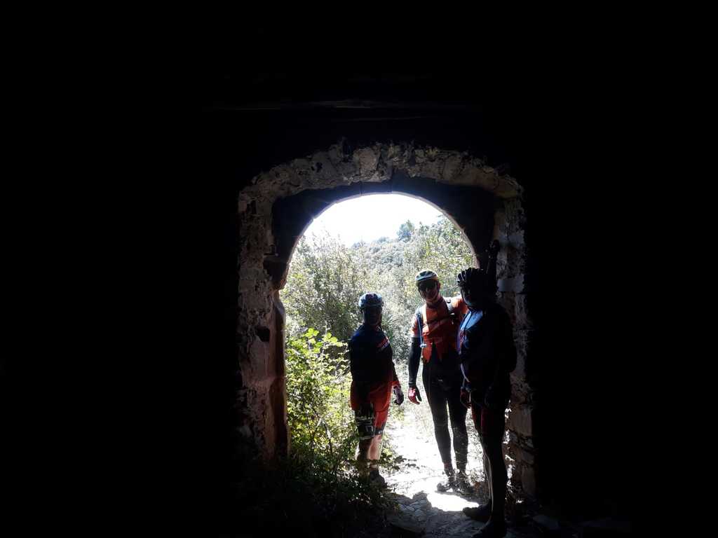
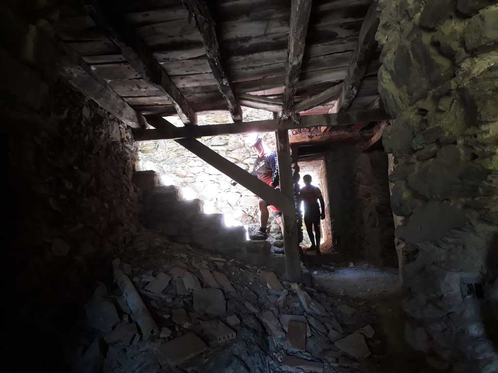
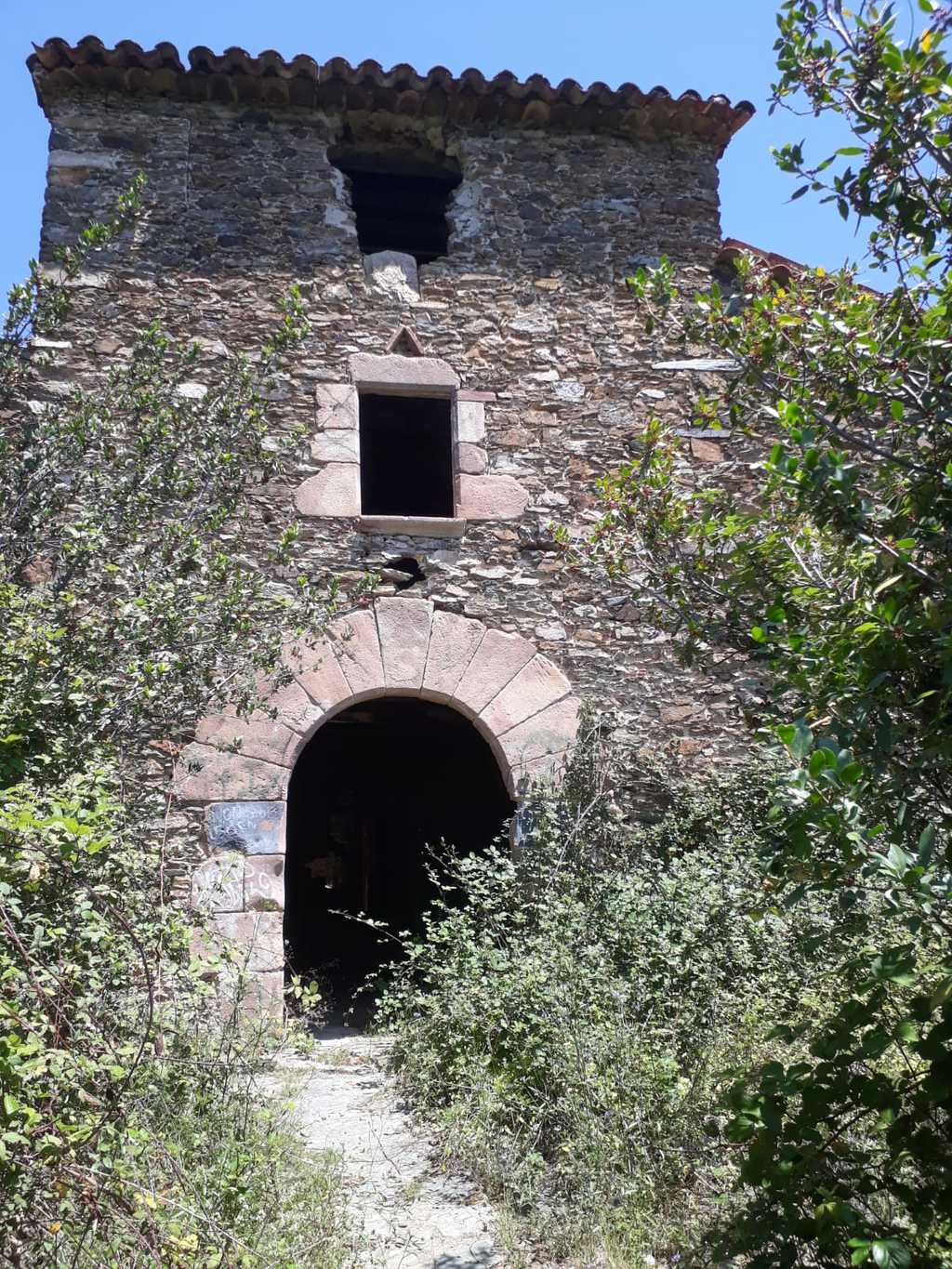
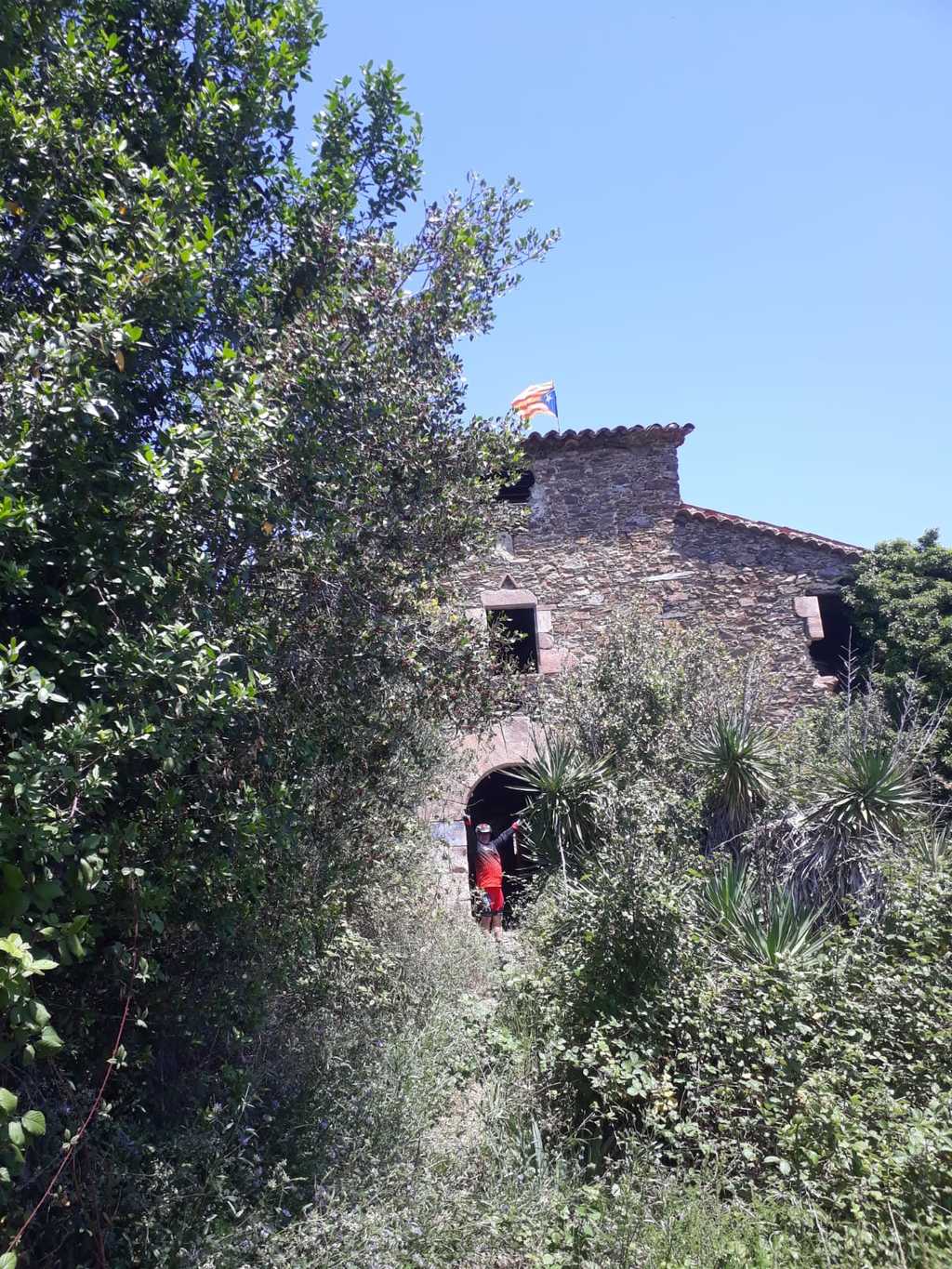
El Polell - El Samon - La Cova - Sant Joan de Cavallar

MTB
MTB
Ref..: 734495
Published: 08/06/2019
Performed: 08/06/2019
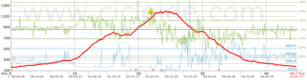
Distance in Km: 44.67
Climb in m: 1327
IBP: 110 BYC


 Height in m      Climb in %      Speed in Km/h      Speed < 2 Km/h

Climbs > 5%

Climbs >5% Climbs >10% Climbs >15% Climbs >20% Climbs >25%
 Steep slope of 166 m.   Average slope  Distances  Download as waypoint
1
 Km 7.976  9%  166 m
 Steep slope of 2656 m.  Average slope  Distances  Download as waypoint
2
 Km 10.151  7%  538 m
3
 Km 10.688  11%  191 m
4
 Km 10.879  10%  100 m
5
 Km 10.979  12%  481 m
6
 Km 11.46  6%  174 m
7
 Km 11.634  7%  99 m
8
 Km 11.732  11%  360 m
9
 Km 12.092  11%  98 m
10
 Km 12.19  13%  319 m
11
 Km 12.51  8%  99 m
12
 Km 12.609  13%  197 m
 Steep slope of 590 m.  Average slope  Distances  Download as waypoint
13
 Km 13.001  7%  362 m
14
 Km 13.363  12%  228 m
 Steep slope of 132 m.  Average slope  Distances  Download as waypoint
15
 Km 13.787  5%  132 m
 Steep slope of 746 m.  Average slope  Distances  Download as waypoint
16
 Km 14.16  8%  36 m
17
 Km 14.196  12%  258 m
18
 Km 14.454  10%  97 m
19
 Km 14.55  13%  94 m
20
 Km 14.644  8%  261 m
 Steep slope of 269 m.  Average slope  Distances  Download as waypoint
21
 Km 15.166  6%  269 m
 Steep slope of 200 m.  Average slope  Distances  Download as waypoint
22
 Km 15.668  8%  200 m
 Steep slope of 101 m.  Average slope  Distances  Download as waypoint
23
 Km 17.276  10%  101 m
 Steep slope of 270 m.  Average slope  Distances  Download as waypoint
24
 Km 17.621  8%  171 m
25
 Km 17.792  14%  99 m
 Steep slope of 1492 m.  Average slope  Distances  Download as waypoint
26
 Km 18.683  9%  33 m
27
 Km 18.716  12%  443 m
28
 Km 19.159  9%  200 m
29
 Km 19.359  12%  455 m
30
 Km 19.814  11%  99 m
31
 Km 19.913  12%  229 m
32
 Km 20.142  9%  33 m
 Steep slope of 256 m.  Average slope  Distances  Download as waypoint
33
 Km 20.373  6%  256 m
 Steep slope of 1007 m.  Average slope  Distances  Download as waypoint
34
 Km 20.727  8%  33 m
35
 Km 20.76  9%  95 m
36
 Km 20.855  8%  399 m
37
 Km 21.253  12%  352 m
38
 Km 21.605  9%  128 m
 Steep slope of 773 m.  Average slope  Distances  Download as waypoint
39
 Km 21.872  14%  29 m
40
 Km 21.901  18%  164 m
41
 Km 22.065  11%  97 m
42
 Km 22.162  10%  97 m
43
 Km 22.259  14%  324 m
44
 Km 22.584  13%  62 m
 Steep slope of 101 m.  Average slope  Distances  Download as waypoint
45
 Km 23.284  11%  101 m
 Steep slope of 200 m.  Average slope  Distances  Download as waypoint
46
 Km 23.755  12%  135 m
47
 Km 23.889  7%  65 m
 Steep slope of 175 m.  Average slope  Distances  Download as waypoint
48
 Km 24.051  9%  175 m
 Steep slope of 128 m.  Average slope  Distances  Download as waypoint
49
 Km 25.655  8%  128 m
 Steep slope of 142 m.  Average slope  Distances  Download as waypoint
50
 Km 29.126  9%  142 m
 Steep slope of 141 m.  Average slope  Distances  Download as waypoint
51
 Km 29.522  9%  141 m


Description of the route


Presence of ramps


 Climbs  Distance  % of the total  Speed  Your speed would be  Time  Your time would be
   15 - 30%  0.673  1.51  5.36  ?  0:07:32  ?
   10 - 15%  4.803  10.75  5.69  ?  0:50:38  ?
   5 - 10%  4.937  11.05  6.78  ?  0:43:42  ?
   1 - 5%  9.839  22.02  10.84  ?  0:54:27  ?
   Total*  20.252 Km  45.33 %  7.77 Km/h  ? Km/h    2:36:19 h  ? h  
 Flat
   1 - -1%  5.328 Km  11.93 %  15.15 Km/h  ? Km/h    0:21:06 h  ? h  
 Descents
   -1 - -5%  9.063  20.29  17.22  ?  0:31:35  ?
   -5 - -10%  5.252  11.76  18.04  ?  0:17:28  ?
   -10 - -15%  3.065  6.86  10.7  ?  0:17:11  ?
   -15 - -30%  1.713  3.83  7.88  ?  0:13:03  ?
   Total*  19.094 Km  42.74 %  14.45 Km/h  ? Km/h    1:19:17 h  ? h  
* The total has not necessarily coincide with the sum of the partials after correction of errors

How long would it take you?

How long would it take you to cover this route?
There are routes without a valid time information, but with your average stats you can assess the possible duration

CC Sant Celoni to cover this route you've need a time of:   4:16:42 h 
If you sign in and have a minimum of two tracks of this same modality, you can know your time for this route, calculated from your stats..


¿Cuanto consumirá tu E-BIKE?

Entra tu E-IBP (formato n,nn)

E-IBP :   X 110 = 


 Detected activity type =  ()
 Penalization due to track conditions: 77 %   ( > 50 % = MTB, < 50 % = RDB)
 Reliability of the track: B   (1327/66/0/-/-/66)
 Correction level applied to the track: 0
DIFFICULTY OF THE ROUTE
IBP = 110 BYC
According to your statistics
 Your time in motion would be: ? h
Your average speed would be: ? Km/h
 

 Total Distance: 44.67 Km
 Analysed distance: 44.67 Km
 Linear distance: 0.39 Km

 Cumulated positive ramps: 1326.6 m  list of points info
 Cumulated negative ramps: 1307.2 m
 Maximum height: 1202.8 m
 Minimum height: 161.4 m
 Climbing Ratio: 6.55 %
 Descent ratio: 6.85 %
 Cumulated postive ramps per Km: 29.7 m
 Cumulated negative ramps per Km: 29.26 m

 Total time: 4:58:13 h
 Time in movement: 4:16:42 h
 According to your statistics
 Your time in motion would be: ? h  
 Stopped time: 0:41:31 h
 Maximum slope filter: ~30 %
 Minimum separation analysed: ~30 m
 Number of points: 3773   (cad. 11.84 m)
 Significant waypoints: 1281   (cad. 34.87 m / 33.95 %)

 Changes in direction per Km: 12.54
 Changes in direction > 5º por Km: 9.81
 Cumulated straight stretches: 6.093 Km
 Straight stretches per Km: 136.4 m
 Penalized slope changes: 9
 Penalized slope changes per Km: 0.201

 Average speed in total: 8.99 Km/h
 Average speed while moving: 10.44 Km/h
 According to your statistics
 Your average speed would be: ? Km/h  
 Maximum sustained speed: 44.14 Km/h


Comments

You can be the first one in commenting this route

 
My comments
:
Add comment  (Registered users)
 
Notify me answers to my comment  Do not notify answers to my comment


Share this route with a friend

Your friend will receive a message with a link to this page:
will see your email and your user name if you do it as registered user.


Write here your name (optional)

E-mail address of your friend(s). You can include various addresses separated by commas

Text or comment (optional) maximum 255 characters long, 255 Available characters

As a non registered users you need to fill-in the captcha text.
  Change image
Type the image characters.
 
 Share with a friend


Visited history

Delete history

Marked routes for review later or compare

My favorites


  Notify anomaly in this route Share in Facebook