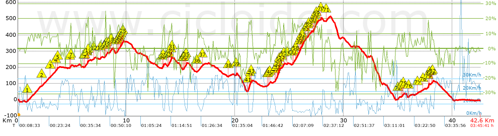
GF DELL' ARGENTARIO tempo 3.36.31

MTB
Ref..: 655398
Published: 26/03/2019
Performed: 24/03/2019
Distance in Km: 42.62
Climb in m: 1521
IBP: 145 BYC
 View on STRAVA
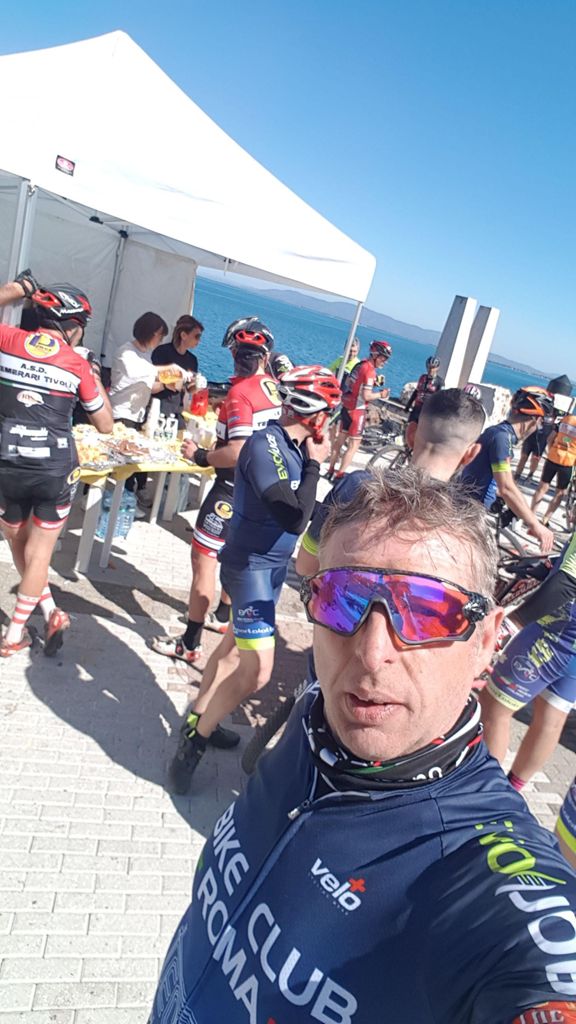
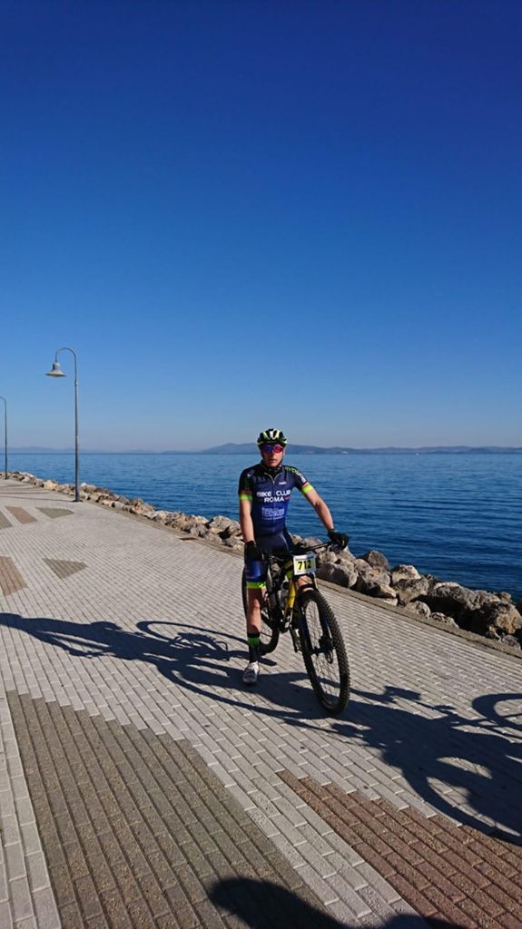
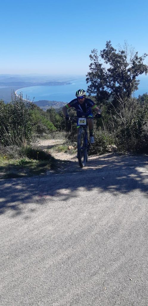
Near ...
Giannutri, Monte Argentario, Porto Santo Stefano
Giannutri, Monte Argentario, Porto Santo Stefano


 list of points info

