Da Villa sino a casa

Road
Ref..: 586347
Published: 15/01/2019
Performed: 13/01/2019
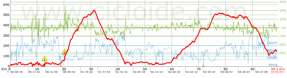
Distance in Km: 99.11
Climb in m: 1590
IBP: 108 BYC
 View on STRAVA
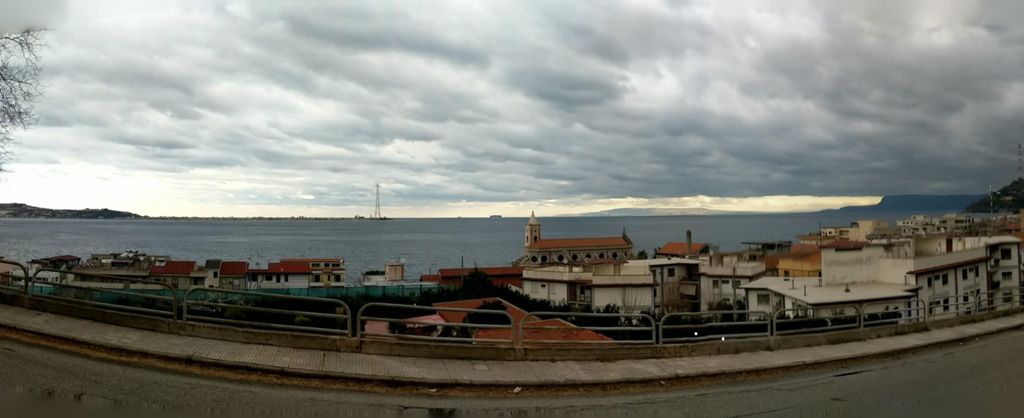
Near ...
Acciarello, Campo Calabro, Cannitello, Ferrito, Pezzo Di Villa San Giovanni, Villa San Giovanni
Acciarello, Campo Calabro, Cannitello, Ferrito, Pezzo Di Villa San Giovanni, Villa San Giovanni


 list of points info

