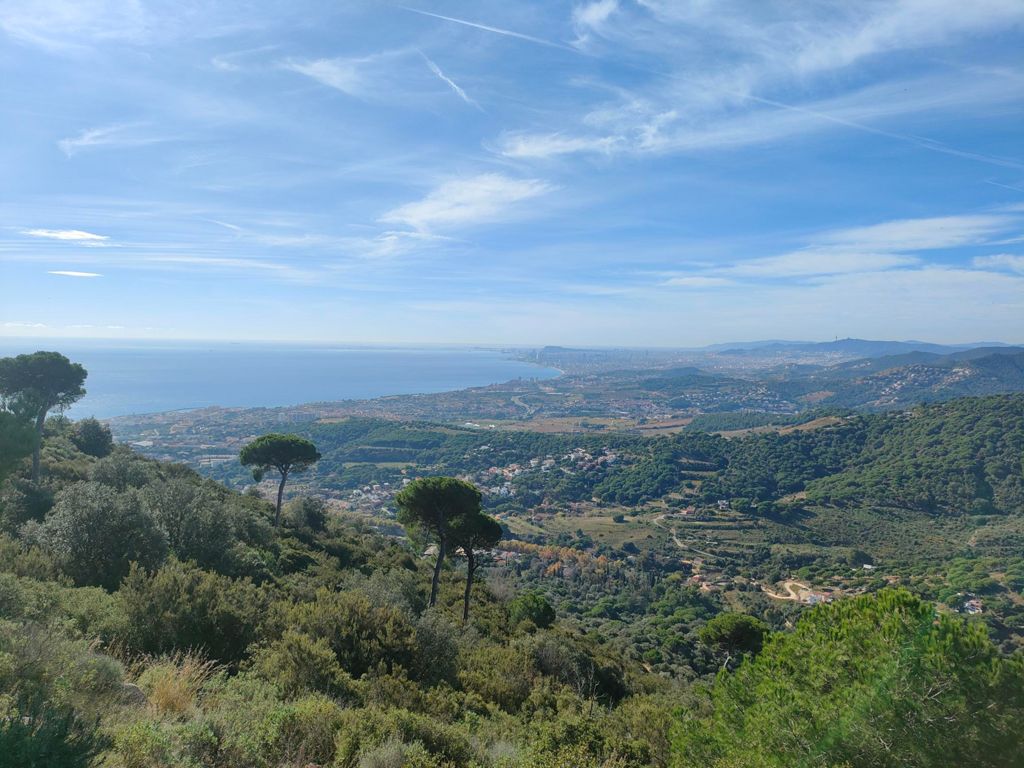
Teyá - Can Mateo - Cruz de Boquet - Mirador de la Cornisa

Hiking
Hiking
Ref..: 1170349
Published: 12/11/2025
Performed: 10/11/2025
Distance in Km: 12.65
Climb in m: 498
IBP: 52 HKG

Tercios
Author: Tercios
848 published routes

Add to my Group or Club

 Height in m      Climb in %      Speed in Km/h      Speed < 2 Km/h


Description of the route


Presence of ramps


 Climbs  Distance  % of the total  Speed  Your speed would be  Time  Your time would be
   15 - 30%  1.086  8.58  2.94  ?  0:22:10  ?
   10 - 15%  0.985  7.79  3.85  ?  0:15:21  ?
   5 - 10%  1.728  13.66  4.24  ?  0:24:26  ?
   1 - 5%  1.607  12.7  4.35  ?  0:22:10  ?
   Total*  5.405 Km  42.74 %  3.86 Km/h  ? Km/h    1:24:07 h  ? h  
 Flat
   1 - -1%  0.397 Km  3.14 %  4.66 Km/h  ? Km/h    0:05:07 h  ? h  
 Descents
   -1 - -5%  1.834  14.5  4.59  ?  0:23:58  ?
   -5 - -10%  3.781  29.9  4.49  ?  0:50:34  ?
   -10 - -15%  1.084  8.57  4.11  ?  0:15:50  ?
   -15 - -30%  0.145  1.15  2.86  ?  0:03:03  ?
   Total*  6.844 Km  54.12 %  4.4 Km/h  ? Km/h    1:33:25 h  ? h  
* The total has not necessarily coincide with the sum of the partials after correction of errors

How long would it take you?

How long would it take you to cover this route?
There are routes without a valid time information, but with your average stats you can assess the possible duration

Tercios to cover this route you've need a time of:   3:02:39 h 
If you sign in and have a minimum of two tracks of this same modality, you can know your time for this route, calculated from your stats..


 Detected activity type =  ()
 Penalization due to track conditions: 0 %   ( > 50 % = MTB, < 50 % = RDB)
 Reliability of the track: A   (498/87/0/-/-/87)
 Correction level applied to the track: 0
DIFFICULTY OF THE ROUTE
IBP = 52 HKG
According to your statistics
 Your time in motion would be: ? h
Your average speed would be: ? Km/h
 

 Total Distance: 12.65 Km
 Analysed distance: 12.65 Km
 Linear distance: 0.4 Km

 Cumulated positive ramps: 498.4 m  list of points info
 Cumulated negative ramps: 483.8 m
 Maximum height: 485.8 m
 Minimum height: 117 m
 Climbing Ratio: 9.22 %
 Descent ratio: 7.07 %
 Cumulated postive ramps per Km: 39.4 m
 Cumulated negative ramps per Km: 38.25 m

 Total time: 3:06:16 h
 Time in movement: 3:02:39 h
 According to your statistics
 Your time in motion would be: ? h  
 Stopped time: 0:03:37 h
 Maximum slope filter: ~55 %
 Minimum separation analysed: ~30 m
 Number of points: 953   (cad. 13.27 m)
 Significant waypoints: 350   (cad. 36.13 m / 36.73 %)

 Changes in direction per Km: 11.15
 Changes in direction > 5º por Km: 9.09
 Cumulated straight stretches: 1.044 Km
 Straight stretches per Km: 82.53 m
 Penalized slope changes: 3
 Penalized slope changes per Km: 0.237

 Average speed in total: 4.07 Km/h
 Average speed while moving: 4.16 Km/h
 According to your statistics
 Your average speed would be: ? Km/h  
 Maximum sustained speed: 5.74 Km/h


Comments

You can be the first one in commenting this route

 
My comments
:
Add comment  (Registered users)
 
Notify me answers to my comment  Do not notify answers to my comment


Visited history

Delete history

Marked routes for review later or compare

My favorites


  Notify anomaly in this route Share in Facebook