Olivos Presa Pintaos Ermita y a casa

MTB
Ref..: 1125615
Published: 17/10/2023
Performed: 16/10/2023
Distance in Km: 29.75
Climb in m: 838
IBP: 66 BYC
 View on STRAVA
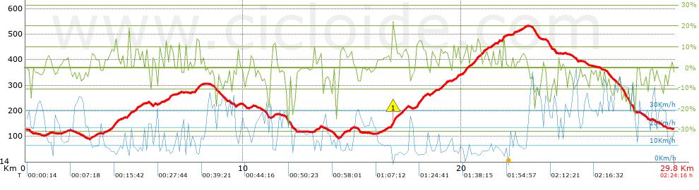


 list of points info

