Marat¾n Bajo Tietar 2023 ruta corta_

MTB
Ref..: 1098825
Published: 23/04/2023
Performed: 22/04/2023
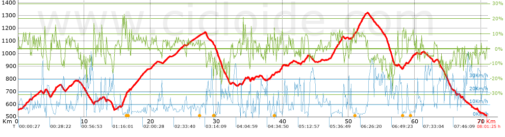
Distance in Km: 71.05
Climb in m: 2165
IBP: 144 BYC
 View on STRAVA
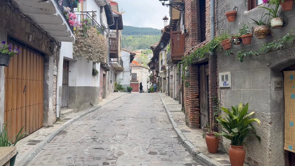
Near ...
Arenas De San Pedro, Parra, La
Arenas De San Pedro, Parra, La


 list of points info

