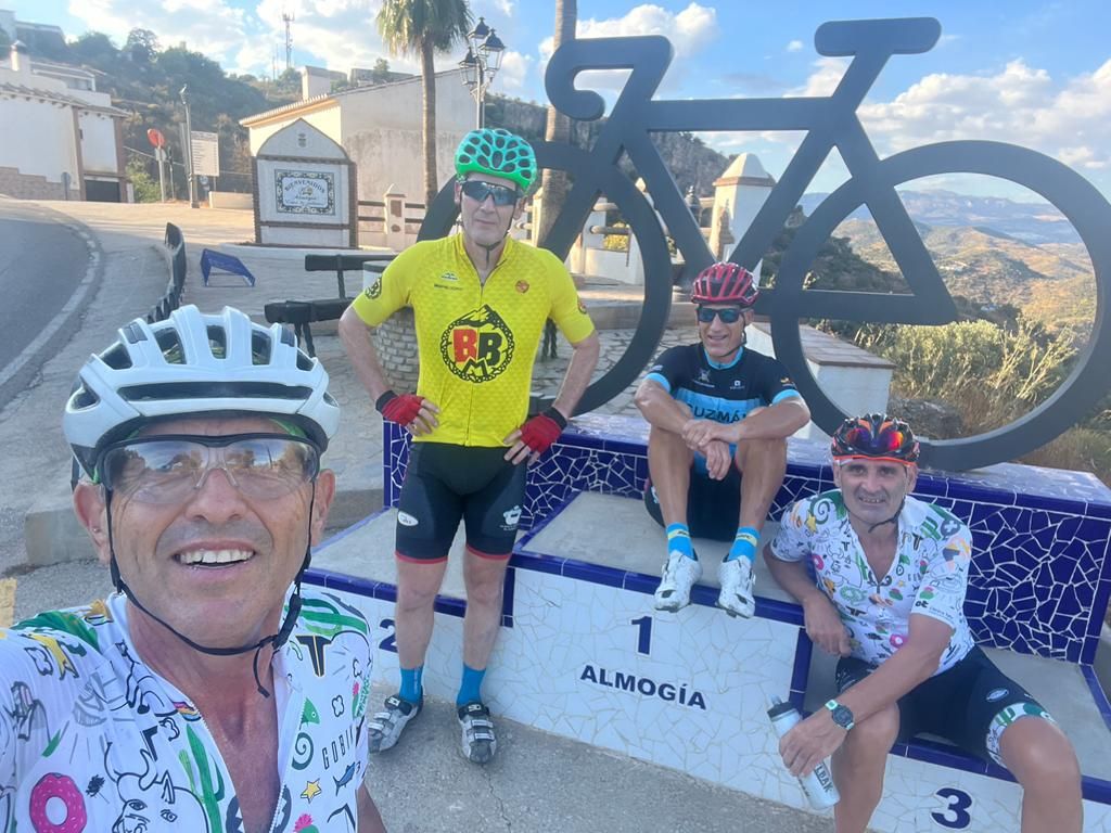
ALMOGIA con los GRANDES

MTB
Ref..: 1070065
Published: 17/09/2022
Performed: 16/09/2022
Distance in Km: 33.6
Climb in m: 625
IBP: 36 BYC
 View on STRAVA
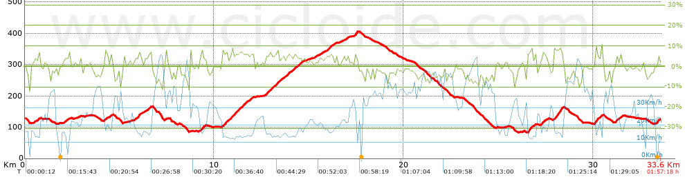


 list of points info

