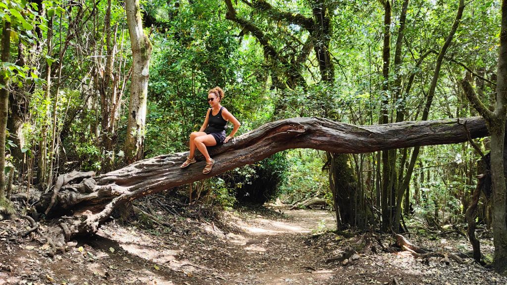
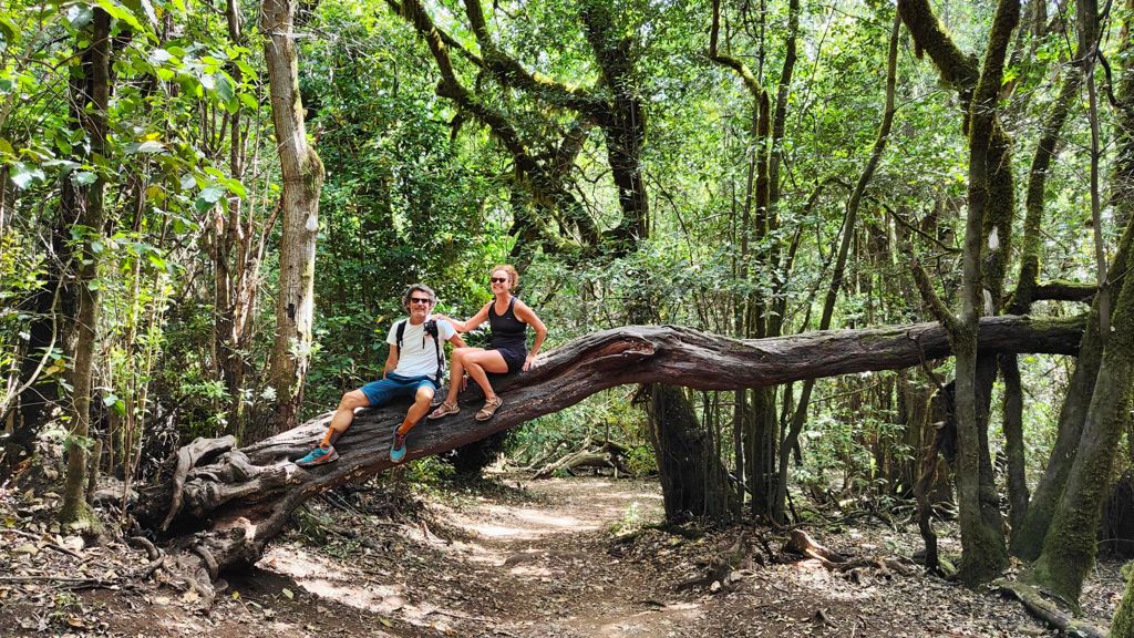
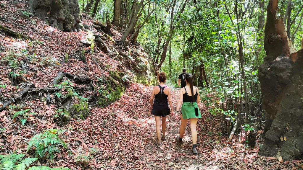
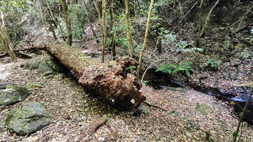
Caña familiar....Track_

MTB
MTB
Ref..: 1061544
Published: 28/07/2022
Performed: 27/07/2022
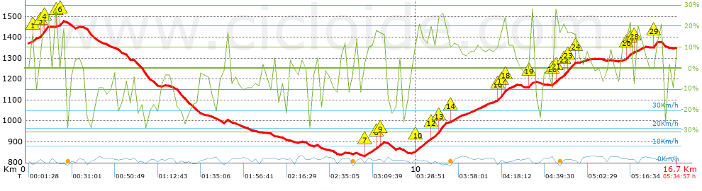
Distance in Km: 16.66
Climb in m: 890
IBP: 119 BYC

Near ...
Benchijigua, Cercado, El (Vallehermoso), Chipude (Vallehermoso), Dama, La, Erque, Erquito
ercalamar
Author: ercalamar
776 published routes

Add to my Group or Club

 Height in m      Climb in %      Speed in Km/h      Speed < 2 Km/h

Climbs > 10%

Climbs >5% Climbs >10% Climbs >15% Climbs >20% Climbs >25%
 Steep slope of 442 m.   Average slope  Distances  Download as waypoint
1
 Km 0.112  16%  139 m
2
 Km 0.361  21%  32 m
3
 Km 0.393  25%  98 m
4
 Km 0.492  27%  64 m
 Steep slope of 181 m.  Average slope  Distances  Download as waypoint
5
 Km 0.732  17%  112 m
6
 Km 0.844  12%  69 m
 Steep slope of 452 m.  Average slope  Distances  Download as waypoint
7
 Km 8.684  12%  255 m
8
 Km 8.939  15%  165 m
9
 Km 9.104  16%  32 m
 Steep slope of 1471 m.  Average slope  Distances  Download as waypoint
10
 Km 9.931  14%  417 m
11
 Km 10.347  20%  38 m
12
 Km 10.386  19%  206 m
13
 Km 10.592  23%  141 m
14
 Km 10.86  11%  215 m
15
 Km 12.023  11%  33 m
16
 Km 12.056  18%  102 m
17
 Km 12.158  26%  96 m
18
 Km 12.254  19%  36 m
 Steep slope of 105 m.  Average slope  Distances  Download as waypoint
19
 Km 12.908  28%  105 m
 Steep slope of 557 m.  Average slope  Distances  Download as waypoint
20
 Km 13.506  21%  104 m
21
 Km 13.61  18%  106 m
22
 Km 13.716  21%  171 m
23
 Km 13.888  19%  146 m
24
 Km 14.033  16%  30 m
 Steep slope of 233 m.  Average slope  Distances  Download as waypoint
25
 Km 15.375  18%  33 m
26
 Km 15.408  22%  65 m
27
 Km 15.473  21%  68 m
 Steep slope of 195 m.  Average slope  Distances  Download as waypoint
28
 Km 15.608  13%  195 m
 Steep slope of 111 m.  Average slope  Distances  Download as waypoint
29
 Km 16.073  23%  111 m


Description of the route


Presence of ramps


 Climbs  Distance  % of the total  Speed  Your speed would be  Time  Your time would be
   15 - 30%  2.406  14.44  3.16  ?  0:45:43  ?
   10 - 15%  1.704  10.23  3.77  ?  0:27:08  ?
   5 - 10%  1.689  10.14  4.62  ?  0:21:55  ?
   1 - 5%  1.165  6.99  3.79  ?  0:18:27  ?
   Total*  6.965 Km  41.8 %  3.69 Km/h  ? Km/h    1:53:13 h  ? h  
 Flat
   1 - -1%  1.67 Km  10.02 %  4.41 Km/h  ? Km/h    0:22:43 h  ? h  
 Descents
   -1 - -5%  1.872  11.24  4.06  ?  0:27:41  ?
   -5 - -10%  2.423  14.54  4.16  ?  0:34:56  ?
   -10 - -15%  1.408  8.45  3.72  ?  0:22:42  ?
   -15 - -30%  2.324  13.95  3.32  ?  0:42:03  ?
   Total*  8.026 Km  48.17 %  3.78 Km/h  ? Km/h    2:07:22 h  ? h  
* The total has not necessarily coincide with the sum of the partials after correction of errors

How long would it take you?

How long would it take you to cover this route?
There are routes without a valid time information, but with your average stats you can assess the possible duration

ercalamar to cover this route you've need a time of:   4:23:18 h 
If you sign in and have a minimum of two tracks of this same modality, you can know your time for this route, calculated from your stats..


¿Cuanto consumirá tu E-BIKE?

Entra tu E-IBP (formato n,nn)

E-IBP :   X 119 = 


 Detected activity type =  ()
 Penalization due to track conditions: 74 %   ( > 50 % = MTB, < 50 % = RDB)
 Reliability of the track: C   (895/56/0/-/-/56)
 Correction level applied to the track: 0
DIFFICULTY OF THE ROUTE
IBP = 119 BYC
According to your statistics
 Your time in motion would be: ? h
Your average speed would be: ? Km/h
 

 Total Distance: 16.66 Km
 Analysed distance: 16.66 Km
 Linear distance: 0.07 Km

 Cumulated positive ramps: 890.05 m  list of points info
 Cumulated negative ramps: 912.59 m
 Maximum height: 1479.4 m
 Minimum height: 830.8 m
 Climbing Ratio: 12.78 %
 Descent ratio: 11.37 %
 Cumulated postive ramps per Km: 53.42 m
 Cumulated negative ramps per Km: 54.78 m

 Total time: 5:34:57 h
 Time in movement: 4:23:18 h
 According to your statistics
 Your time in motion would be: ? h  
 Stopped time: 1:11:39 h
 Maximum slope filter: ~30 %
 Minimum separation analysed: ~30 m
 Number of points: 1422   (cad. 11.72 m)
 Significant waypoints: 472   (cad. 35.3 m / 33.19 %)

 Changes in direction per Km: 14.23
 Changes in direction > 5º por Km: 12.18
 Cumulated straight stretches: 1.124 Km
 Straight stretches per Km: 67.47 m
 Penalized slope changes: 8
 Penalized slope changes per Km: 0.48

 Average speed in total: 2.98 Km/h
 Average speed while moving: 3.8 Km/h
 According to your statistics
 Your average speed would be: ? Km/h  
 Maximum sustained speed: 6.52 Km/h


Comments

You can be the first one in commenting this route

 
My comments
:
Add comment  (Registered users)
 
Notify me answers to my comment  Do not notify answers to my comment


Share this route with a friend

Your friend will receive a message with a link to this page:
will see your email and your user name if you do it as registered user.


Write here your name (optional)

E-mail address of your friend(s). You can include various addresses separated by commas

Text or comment (optional) maximum 255 characters long, 255 Available characters

As a non registered users you need to fill-in the captcha text.
  Change image
Type the image characters.
 
 Share with a friend


Visited history

Delete history

Marked routes for review later or compare

My favorites


  Notify anomaly in this route Share in Facebook