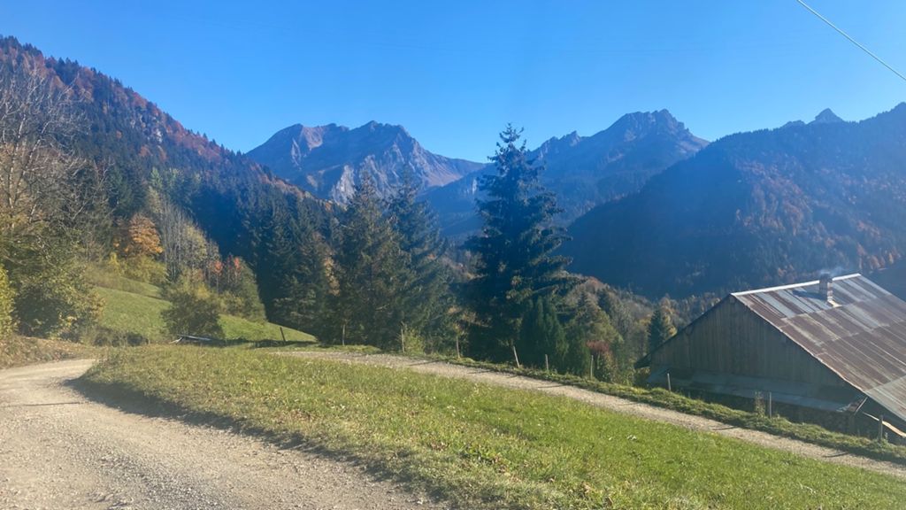
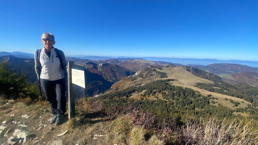
Pointe de la Gay en traversée

Hiking
Hiking
Ref..: 1004746
Published: 25/10/2021
Performed: 24/10/2021
Distance in Km: 16.23
Climb in m: 1220
IBP: 120 HKG

Autor 33750
Author: Autor 33750
201 published routes

Add to my Group or Club

 Height in m      Climb in %      Speed in Km/h      Speed < 2 Km/h

Climbs > 20%

Climbs >5% Climbs >10% Climbs >15% Climbs >20% Climbs >25%
 Steep slope of 1011 m.   Average slope  Distances  Download as waypoint
1
 Km 1.952  30%  691 m
2
 Km 2.643  30%  63 m
3
 Km 2.931  21%  225 m
4
 Km 3.156  34%  32 m
5
 Km 3.189  31%  68 m
 Steep slope of 936 m.  Average slope  Distances  Download as waypoint
6
 Km 3.613  31%  226 m
7
 Km 4.287  20%  69 m
8
 Km 4.356  28%  193 m
 Steep slope of 101 m.  Average slope  Distances  Download as waypoint
9
 Km 5.828  35%  101 m
 Steep slope of 261 m.  Average slope  Distances  Download as waypoint
10
 Km 11.484  35%  165 m
11
 Km 11.649  31%  32 m


Description of the route


Presence of ramps


 Climbs  Distance  % of the total  Speed  Your speed would be  Time  Your time would be
   15 - 30%  2.591  15.96  2.86  ?  0:54:20  ?
   10 - 15%  1.555  9.58  3.62  ?  0:25:44  ?
   5 - 10%  2.038  12.56  3.95  ?  0:30:57  ?
   1 - 5%  0.748  4.61  3.82  ?  0:11:46  ?
   Total*  7.792 Km  48.02 %  3.14 Km/h  ? Km/h    2:28:58 h  ? h  
 Flat
   1 - -1%  1.042 Km  6.42 %  4.34 Km/h  ? Km/h    0:14:24 h  ? h  
 Descents
   -1 - -5%  0.707  4.36  4.43  ?  0:09:35  ?
   -5 - -10%  1.985  12.23  4.26  ?  0:27:59  ?
   -10 - -15%  1.352  8.33  4.43  ?  0:18:18  ?
   -15 - -30%  2.403  14.81  4.1  ?  0:35:08  ?
   Total*  7.394 Km  45.56 %  3.87 Km/h  ? Km/h    1:54:47 h  ? h  
* The total has not necessarily coincide with the sum of the partials after correction of errors

How long would it take you?

How long would it take you to cover this route?
There are routes without a valid time information, but with your average stats you can assess the possible duration

Autor 33750 to cover this route you've need a time of:   4:38:09 h 
If you sign in and have a minimum of two tracks of this same modality, you can know your time for this route, calculated from your stats..


 Detected activity type =  ()
 Penalization due to track conditions: 0 %   ( > 50 % = MTB, < 50 % = RDB)
 Reliability of the track: A   (1220/90/0/-/-/90)
 Correction level applied to the track: 0
DIFFICULTY OF THE ROUTE
IBP = 120 HKG
According to your statistics
 Your time in motion would be: ? h
Your average speed would be: ? Km/h
 

 Total Distance: 16.23 Km
 Analysed distance: 16.23 Km
 Linear distance: 0.08 Km

 Cumulated positive ramps: 1220 m  list of points info
 Cumulated negative ramps: 1214 m
 Maximum height: 1806 m
 Minimum height: 1087 m
 Climbing Ratio: 15.66 %
 Descent ratio: 16.42 %
 Cumulated postive ramps per Km: 75.17 m
 Cumulated negative ramps per Km: 74.8 m

 Total time: 6:06:48 h
 Time in movement: 4:38:09 h
 According to your statistics
 Your time in motion would be: ? h  
 Stopped time: 1:28:39 h
 Maximum slope filter: ~55 %
 Minimum separation analysed: ~30 m
 Number of points: 1517   (cad. 10.7 m)
 Significant waypoints: 498   (cad. 32.59 m / 32.83 %)

 Changes in direction per Km: 14.48
 Changes in direction > 5º por Km: 10.66
 Cumulated straight stretches: 1.868 Km
 Straight stretches per Km: 115.1 m
 Penalized slope changes: 10
 Penalized slope changes per Km: 0.616

 Average speed in total: 2.65 Km/h
 Average speed while moving: 3.5 Km/h
 According to your statistics
 Your average speed would be: ? Km/h  
 Maximum sustained speed: 8.37 Km/h


Comments

You can be the first one in commenting this route

 
My comments
:
Add comment  (Registered users)
 
Notify me answers to my comment  Do not notify answers to my comment


Share this route with a friend

Your friend will receive a message with a link to this page:
will see your email and your user name if you do it as registered user.


Write here your name (optional)

E-mail address of your friend(s). You can include various addresses separated by commas

Text or comment (optional) maximum 255 characters long, 255 Available characters

As a non registered users you need to fill-in the captcha text.
  Change image
Type the image characters.
 
 Share with a friend


Visited history

Delete history

Marked routes for review later or compare

My favorites


  Notify anomaly in this route Share in Facebook